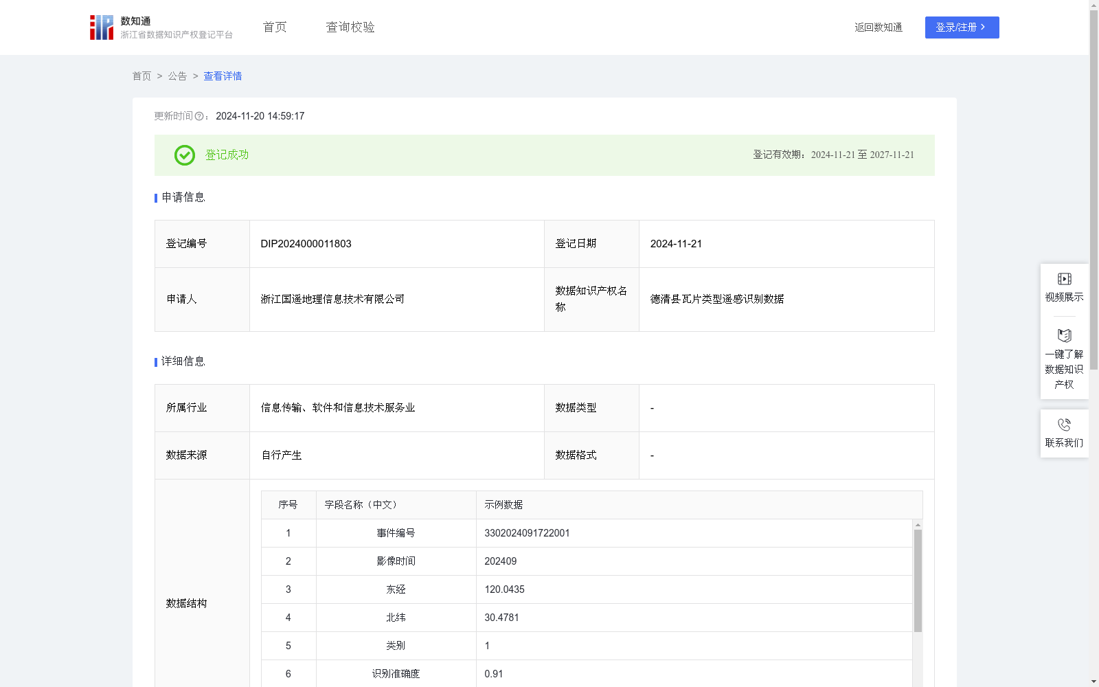
德清县瓦片类型遥感识别数据
收藏浙江省数据知识产权登记平台2024-11-20 更新2024-11-21 收录
下载链接:
https://www.zjip.org.cn/home/announce/trends/86983
下载链接
链接失效反馈官方服务:
资源简介:
用于实现对屋顶瓦片类型、屋顶位置及布局的高效精准识别,以支持光伏规划。自动识别遥感影像中屋顶瓦片区域的精确坐标,便于确定屋顶位置与分布,为后续光伏安装选址与规划提供基础。依据算法自动对瓦片类型进行分类并验证,准确识别瓦片种类并确保无误,实现自动识别与智能分类,大幅减少人工现场勘查与目视判断的时间。屋顶瓦片类型遥感监测识别数据录入系统中,实现数据可视化,为光伏规划人员提供直观、详尽的屋顶信息。这些数据为光伏项目的合理布局与高效实施提供客观公正的基础,从源头上避免规划失误,确保光伏安装项目能够精准落地。基于无人机航拍采集2024年9月的遥感影像数据,通过YOLO算法进行目标检测,识别出屋顶瓦片区域。首先,将单元神经网络应用于完整的遥感影像,将图像将图像分割成19x19的单元格,每个单元神经网络负责预测K个单元格。预测每个区域的概率,所有单元格上具有最大概率的类被选择并分配给特定的网格单元,生成区域中心坐标(x,y),采用CGCS2000坐标系,坐标默认东经、北纬。在预测类概率后,进行NMS运算,消除不必要的锚点。抽取验证样本计算识别准确度,越接近1表示越准确,高于0.6表示识别正确,低于0.6表示识别错误。依据识别准确度,判定目标是否为瓦片。算法依据样本库自动生成类别,并匹配到当前项目识别类别:旧青瓦、陶瓷瓦、沥青瓦等。对识别正确的目标进行纳入操作,对识别错误的目标进行排除操作。结合镇、村行政区划边界矢量,进行空间包含关系的计算,将识别数据与行政区划边界进行比较,判断要素是否位于当前行政区划的内部,若否,则判断下一个行政区划,直到确定所有识别数据的行政区划。最后将坐标、识别类型、镇、村等数据自动上传至德清县屋顶瓦片类型识别平台,最终获得德清县屋顶瓦片识别数据。
This dataset is developed for efficient and accurate recognition of roof tile types, roof locations and layouts to support photovoltaic (PV) planning. It automatically identifies the precise coordinates of roof tile regions in remote sensing images, facilitating the confirmation of roof positions and distributions, and providing a fundamental basis for subsequent PV installation site selection and planning. The algorithm automatically classifies and verifies tile types, accurately identifies tile types with guaranteed correctness, realizes automatic recognition and intelligent classification, and greatly reduces the time required for manual on-site surveys and visual judgments. The remote sensing monitoring and recognition data of roof tile types are imported into the system to achieve data visualization, providing PV planners with intuitive and detailed roof information. These data offer an objective and fair foundation for the rational layout and efficient implementation of PV projects, avoiding planning errors at the source and ensuring the accurate implementation of PV installation projects. The remote sensing image data collected via unmanned aerial vehicle (UAV) aerial photography in September 2024 is used for target detection through the YOLO algorithm to identify roof tile regions. First, the grid-based neural network is applied to the complete remote sensing image, splitting the image into 19×19 grid cells. Each grid cell is responsible for predicting K bounding boxes. The probability of each region is predicted, and the class with the highest probability across all grid cells is selected and assigned to a specific grid cell, generating the regional center coordinates (x, y). The CGCS2000 coordinate system is adopted, with the coordinates defaulting to east longitude and north latitude. After predicting the class probabilities, non-maximum suppression (NMS) is performed to eliminate redundant anchor boxes. Validation samples are extracted to calculate the recognition accuracy: the closer the value is to 1, the higher the accuracy; a value higher than 0.6 indicates correct recognition, while a value lower than 0.6 indicates incorrect recognition. Whether a target is a roof tile is determined based on the recognition accuracy. The algorithm automatically generates categories based on the sample database and matches them to the recognition categories of the current project, including old blue tiles, ceramic tiles, asphalt tiles, etc. Targets with correct recognition are retained, while those with incorrect recognition are excluded. Combined with the vector boundaries of town and village administrative divisions, spatial inclusion relationship calculation is conducted. The recognized data are compared with the administrative division boundaries to judge whether the elements are located within the current administrative division. If not, the next administrative division is checked until the administrative divisions of all recognized data are confirmed. Finally, data such as coordinates, recognition types, towns and villages are automatically uploaded to the Deqing County Roof Tile Type Recognition Platform, and the roof tile recognition data of Deqing County are finally obtained.
提供机构:
浙江国遥地理信息技术有限公司
创建时间:
2024-10-17
搜集汇总
数据集介绍
特点
德清县瓦片类型遥感识别数据集包含512条屋顶瓦片识别数据,通过无人机航拍和YOLO算法生成,用于支持光伏规划中的屋顶位置和瓦片类型识别。数据集包含经纬度坐标、瓦片类别、识别准确度等关键字段,并已在区块链平台存证。
以上内容由遇见数据集搜集并总结生成


