全球0.1度陆地年降雨能量和降雨侵蚀力数据集(2015-2019年)
收藏国家地球系统科学数据中心2024-12-31 更新2024-03-04 收录
下载链接:
https://www.geodata.cn/data/datadetails.html?dataguid=118242995178574&docId=1924
下载链接
链接失效反馈官方服务:
资源简介:
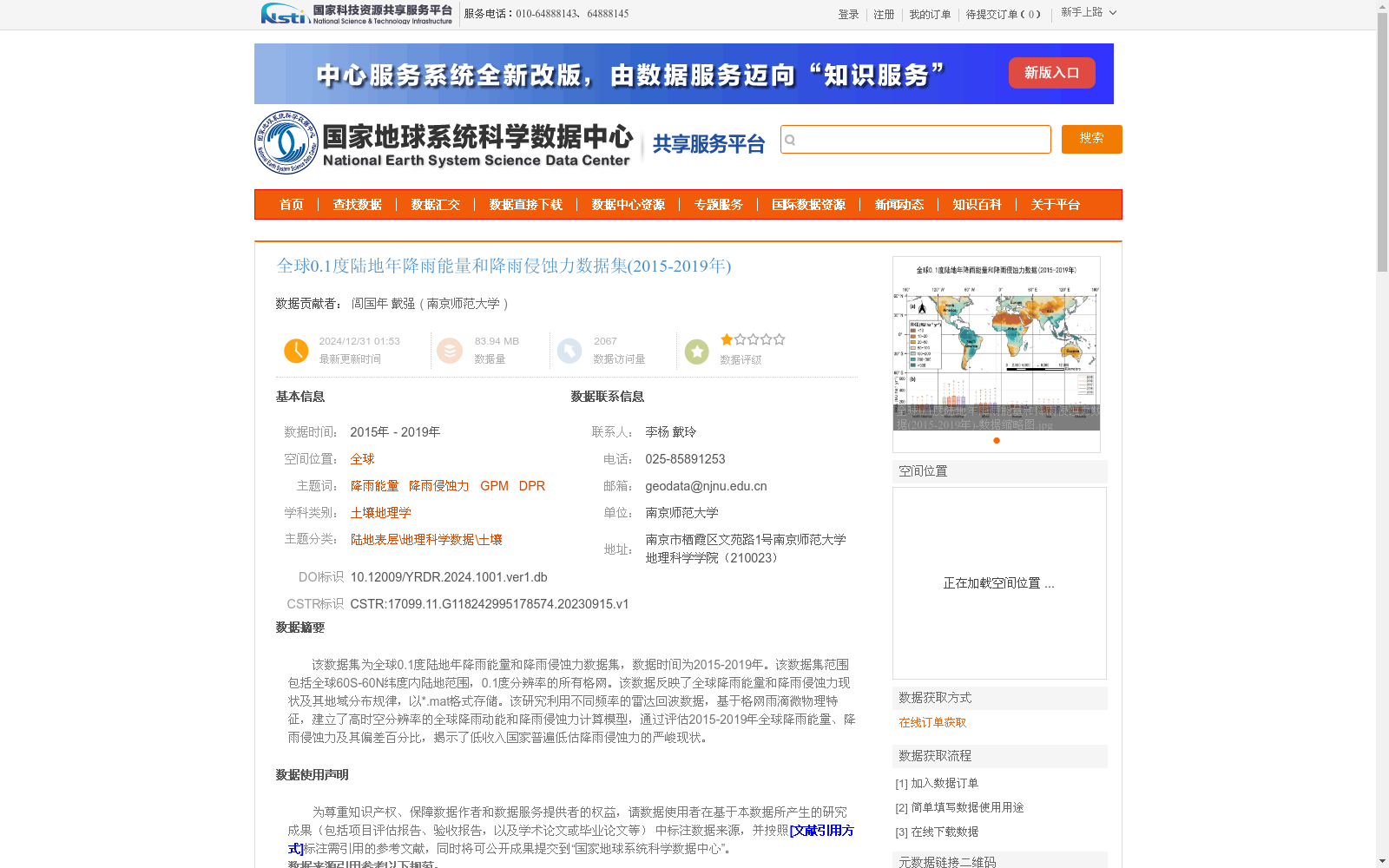
该数据集为全球0.1度陆地年降雨能量和降雨侵蚀力数据集,数据时间为2015-2019年。该数据集范围包括全球60S-60N纬度内陆地范围,0.1度分辨率的所有格网。该数据反映了全球降雨能量和降雨侵蚀力现状及其地域分布规律,以*.mat格式存储。该研究利用不同频率的雷达回波数据,基于格网雨滴微物理特征,建立了高时空分辨率的全球降雨动能和降雨侵蚀力计算模型,通过评估2015-2019年全球降雨能量、降雨侵蚀力及其偏差百分比,揭示了低收入国家普遍低估降雨侵蚀力的严峻现状。
This dataset is a global terrestrial annual rainfall energy and rainfall erosivity dataset spanning the years 2015 to 2019. Its spatial coverage encompasses all terrestrial grid cells within the latitude range of 60°S to 60°N with a 0.1° spatial resolution. This dataset reflects the current state and geographic distribution patterns of global rainfall energy and rainfall erosivity, and is stored in the *.mat format. This study developed a high spatiotemporal resolution global computational model for rainfall kinetic energy and rainfall erosivity using radar echo data at different frequencies based on grid-scale raindrop microphysical characteristics. By evaluating the global rainfall energy, rainfall erosivity and their percentage deviations during 2015–2019, this study revealed the severe reality that low-income countries generally underestimate rainfall erosivity.
提供机构:
南京师范大学
创建时间:
2023-09-15
搜集汇总
数据集介绍
背景与挑战
背景概述
该数据集为2015-2019年全球0.1度陆地年降雨能量和降雨侵蚀力数据,覆盖60S-60N纬度范围,基于NASA GPM数据加工而成,质量可靠,揭示了全球降雨侵蚀力的地域分布规律和低收入国家普遍低估的现状。
以上内容由遇见数据集搜集并总结生成


