青藏高原草地退化与资源图集(2001-2022)
收藏国家青藏高原科学数据中心2025-05-09 更新2025-05-31 收录
下载链接:
https://data.tpdc.ac.cn/zh-hans/data/ccada6e2-045d-4966-8842-56fddb6b4bf6
下载链接
链接失效反馈官方服务:
资源简介:
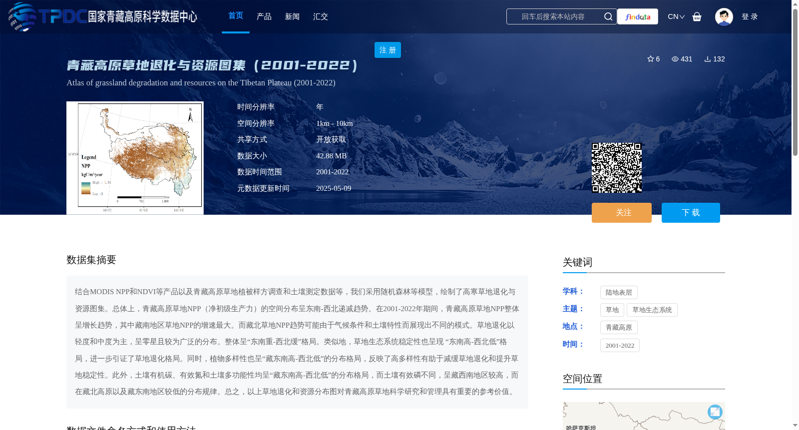
结合MODIS NPP和NDVI等产品以及青藏高原草地植被样方调查和土壤测定数据等,我们采用随机森林等模型,绘制了高寒草地退化与资源图集。总体上,青藏高原草地NPP(净初级生产力)的空间分布呈东南-西北递减趋势。在2001-2022年期间,青藏高原草地NPP整体呈增长趋势,其中藏南地区草地NPP的增速最大。而藏北草地NPP趋势可能由于气候条件和土壤特性而展现出不同的模式。草地退化以轻度和中度为主,呈零星且较为广泛的分布。整体呈“东南重-西北缓”格局。类似地,草地生态系统稳定性也呈现 “东南高-西北低”格局,进一步引证了草地退化格局。同时,植物多样性也呈“藏东南高-西北低”的分布格局,反映了高多样性有助于减缓草地退化和提升草地稳定性。此外,土壤有机碳、有效氮和土壤多功能性均呈“藏东南高-西北低”的分布格局,而土壤有效磷不同,呈藏西南地区较高,而在藏北高原以及藏东南地区较低的分布规律。总之,以上草地退化和资源分布图对青藏高原草地科学研究和管理具有重要的参考价值。
By integrating products such as MODIS NPP and NDVI, as well as field survey data of alpine grassland vegetation and soil measurements across the Qinghai-Tibet Plateau, we employed models including Random Forest to compile the Atlas of Alpine Grassland Degradation and Resources. Overall, the spatial distribution of grassland NPP (Net Primary Productivity) across the Qinghai-Tibet Plateau exhibits a decreasing trend from southeast to northwest. During the period from 2001 to 2022, the grassland NPP across the Qinghai-Tibet Plateau showed an overall upward trend, with the highest growth rate observed in southern Tibet. However, the trend of grassland NPP in northern Tibet may present distinct patterns due to local climatic conditions and soil properties. Grassland degradation is dominated by slight and moderate degrees, featuring a sporadic and widespread distribution, with an overall pattern of 'severe in the southeast and slow in the northwest'. Similarly, the stability of grassland ecosystems also follows the pattern of 'high in the southeast and low in the northwest', which further corroborates the grassland degradation pattern. Meanwhile, plant diversity also displays a distribution pattern of 'high in southeastern Tibet and low in northwestern Tibet', reflecting that high diversity contributes to alleviating grassland degradation and enhancing grassland ecosystem stability. In addition, soil organic carbon, available nitrogen, and soil multifunctionality all follow the distribution pattern of 'high in southeastern Tibet and low in northwestern Tibet'. By contrast, soil available phosphorus exhibits a different pattern, with relatively high contents in southwestern Tibet, but low contents in the Northern Tibet Plateau and southeastern Tibet. In summary, the aforementioned atlas of grassland degradation and resources possesses important reference value for scientific research and management of grasslands on the Qinghai-Tibet Plateau.
提供机构:
田大栓
创建时间:
2025-03-07
搜集汇总
数据集介绍
背景与挑战
背景概述
该数据集提供了2001-2022年青藏高原草地退化与资源的详细图集,空间分辨率为1km-10km,数据大小为42.88MB,开放获取。数据集结合MODIS NPP和NDVI等产品以及实地调查数据,揭示了草地NPP、退化程度、生态系统稳定性、植物多样性和土壤特性的空间分布格局,对草地科学研究和管理具有重要参考价值。
以上内容由遇见数据集搜集并总结生成


