1990年三江平原30m沼泽湿地分布数据集
收藏国家地球系统科学数据中心2023-09-12 更新2024-03-04 收录
下载链接:
https://www.geodata.cn/data/datadetails.html?dataguid=118242753273527&docId=4561
下载链接
链接失效反馈官方服务:
资源简介:
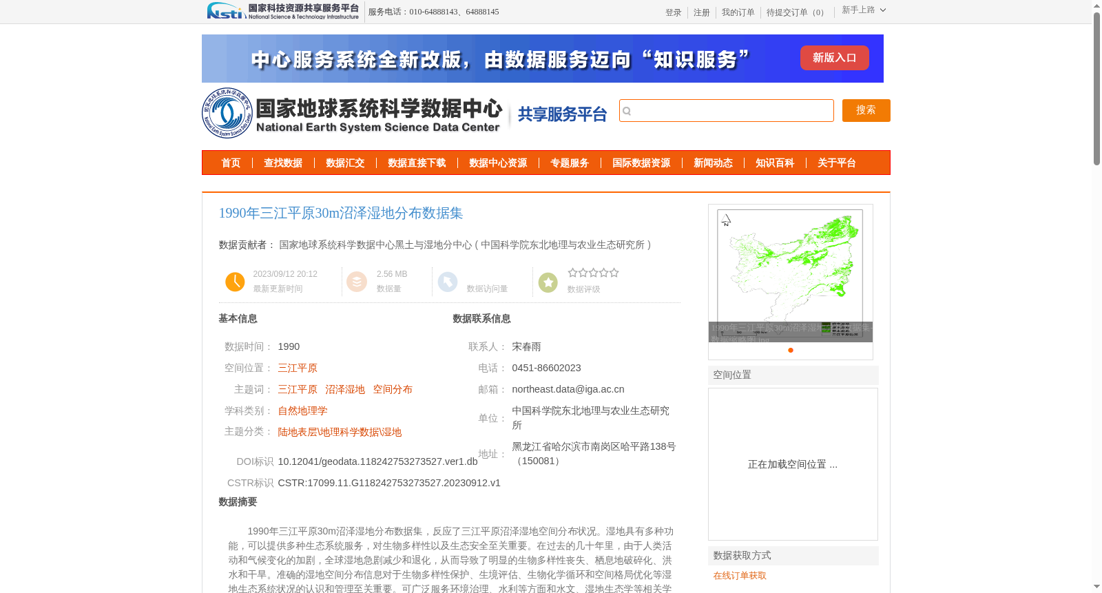
1990年三江平原30m沼泽湿地分布数据集,反应了三江平原沼泽湿地空间分布状况。湿地具有多种功能,可以提供多种生态系统服务,对生物多样性以及生态安全至关重要。在过去的几十年里,由于人类活动和气候变化的加剧,全球湿地急剧减少和退化,从而导致了明显的生物多样性丧失、栖息地破碎化、洪水和干旱。准确的湿地空间分布信息对于生物多样性保护、生境评估、生物化学循环和空间格局优化等湿地生态系统状况的认识和管理至关重要。可广泛服务环境治理、水利等方面和水文、湿地生态学等相关学科的科学研究工作者及学生。
The 30 m-resolution marsh wetland distribution dataset of the Sanjiang Plain in 1990 reflects the spatial distribution of marshes and wetlands in the region. Wetlands have multiple functions and provide a wide range of ecosystem services, which are critical to biodiversity conservation and ecological security. Over the past several decades, intensified human activities and climate change have led to dramatic global wetland reduction and degradation, resulting in significant biodiversity loss, habitat fragmentation, floods and droughts. Accurate spatial distribution information of wetlands is crucial for understanding and managing wetland ecosystem conditions, including biodiversity protection, habitat assessment, biogeochemical cycling and spatial pattern optimization. This dataset can be widely used by researchers and students engaged in scientific research in related disciplines such as hydrology and wetland ecology, as well as fields including environmental governance and water conservancy.
提供机构:
中国科学院东北地理与农业生态研究所
创建时间:
2023-09-12
搜集汇总
数据集介绍
背景与挑战
背景概述
该数据集提供了1990年中国三江平原沼泽湿地的30米分辨率空间分布信息,基于Landsat遥感影像采用面向对象分类方法提取,确保分类精度超过90%,数据以栅格格式存储。它对于湿地生态系统研究、生物多样性保护和环境治理具有重要价值,适用于自然地理学及相关学科的科研应用。
以上内容由遇见数据集搜集并总结生成


