四川省宜宾市30米DEM数据集(2013年)
收藏国家地球系统科学数据中心2019-04-19 更新2024-03-04 收录
下载链接:
https://www.geodata.cn/data/datadetails.html?dataguid=7327266&docId=17322
下载链接
链接失效反馈官方服务:
资源简介:
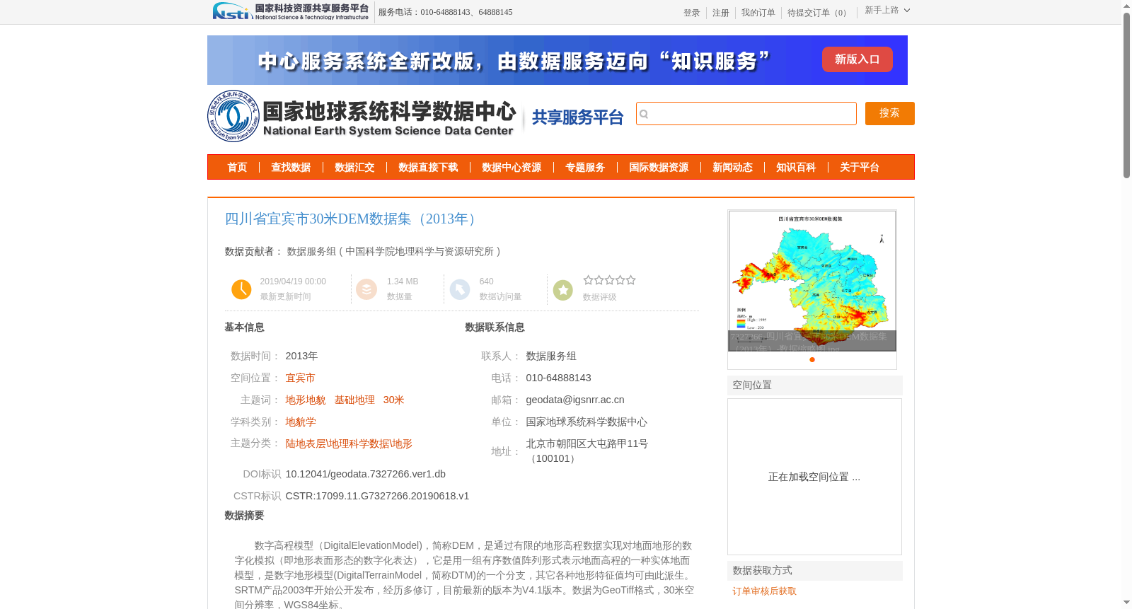
数字高程模型(DigitalElevationModel),简称DEM,是通过有限的地形高程数据实现对地面地形的数字化模拟(即地形表面形态的数字化表达),它是用一组有序数值阵列形式表示地面高程的一种实体地面模型,是数字地形模型(DigitalTerrainModel,简称DTM)的一个分支,其它各种地形特征值均可由此派生。SRTM产品2003年开始公开发布,经历多修订,目前最新的版本为V4.1版本。数据为GeoTiff格式,30米空间分辨率,WGS84坐标。
Digital Elevation Model (DEM for short) is a digital simulation of ground terrain based on limited topographic elevation data, namely a digital representation of topographic surface morphology. It is a physical ground model that represents ground elevation through an ordered set of numerical arrays, and it is a branch of the Digital Terrain Model (DTM for short). Various other topographic characteristic values can be derived from it. The SRTM product was publicly released in 2003, has undergone multiple revisions, and its latest version is currently V4.1. The data is in GeoTiff format, with a spatial resolution of 30 meters and uses the WGS84 coordinate system.
提供机构:
中国科学院地理科学与资源研究所
创建时间:
2019-06-18
搜集汇总
数据集介绍
背景与挑战
背景概述
四川省宜宾市30米DEM数据集(2013年)是基于SRTM V4.1数据加工生成的数字高程模型,空间分辨率为30米,采用WGS84坐标系统。该数据集主要用于地形地貌研究,需通过订单审核获取,并在使用中遵守数据引用规范。
以上内容由遇见数据集搜集并总结生成


