第三极地区七大河流源区3km径流深、蒸散发数据集(TPRED_3km)
收藏国家青藏高原科学数据中心2025-01-02 更新2025-03-29 收录
下载链接:
https://data.tpdc.ac.cn/zh-hans/data/50bb302c-710b-42b6-99d8-16cdaf471b38
下载链接
链接失效反馈官方服务:
资源简介:
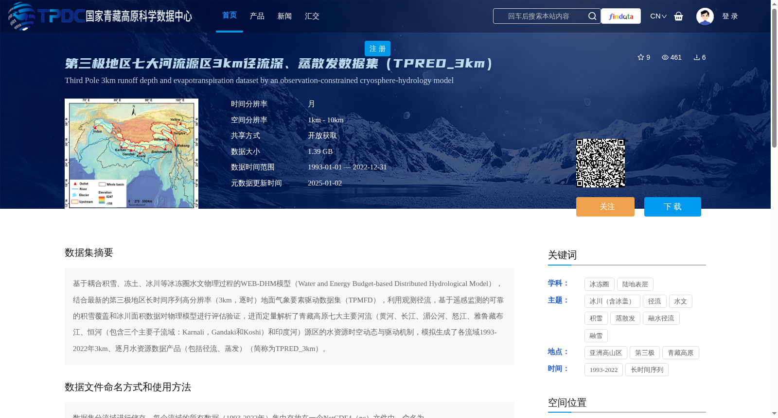
基于耦合积雪、冻土、冰川等冰冻圈水文物理过程的WEB-DHM模型(Water and Energy Budget-based Distributed Hydrological Model),结合最新的第三极地区长时间序列高分辨率(3km,逐时)地面气象要素驱动数据集(TPMFD),利用观测径流,基于遥感监测的可靠的积雪覆盖和冰川面积数据对物理模型进行评估验证,进而定量解析了青藏高原七大主要河流(黄河、长江、湄公河、怒江、雅鲁藏布江、恒河(包含三个主要子流域:Karnali,Gandaki和Koshi)和印度河)源区的水资源时空动态与驱动机制,模拟生成了各流域1993-2022年3km、逐月水资源数据产品(包括径流、蒸发)(简称为TPRED_3km)。
The WEB-DHM model (Water and Energy Budget-based Distributed Hydrological Model), which couples cryospheric hydrological physical processes including snow, frozen soil, glaciers and other related cryospheric components, was utilized in this study. Combined with the latest long-term high-resolution (3 km, hourly) ground meteorological forcing dataset (TPMFD) for the Third Pole region, the physical model was calibrated and validated using observed runoff data, as well as reliable snow cover and glacier area data retrieved from remote sensing monitoring. Subsequently, the spatiotemporal dynamics and driving mechanisms of water resources in the source regions of the seven major rivers on the Qinghai-Tibet Plateau were quantitatively analyzed, namely the Yellow River, Yangtze River, Mekong River, Salween River, Yarlung Zangbo River, Ganges River (covering three major sub-basins: Karnali, Gandaki and Koshi) and Indus River. Finally, monthly water resource data products (including runoff and evaporation) with a spatial resolution of 3 km for each basin over the period 1993 to 2022 were simulated and generated, which is abbreviated as TPRED_3km.
提供机构:
刘虎,王磊
创建时间:
2025-01-02
搜集汇总
数据集介绍
背景与挑战
背景概述
该数据集提供了第三极地区七大河流源区1993-2022年的3km分辨率逐月径流深和蒸散发数据,基于耦合积雪、冻土、冰川等冰冻圈水文物理过程的WEB-DHM模型生成,数据以NetCDF4格式存储,适用于水资源时空动态与驱动机制研究。
以上内容由遇见数据集搜集并总结生成


