
Global Mountains K3
收藏Mendeley Data2024-03-27 更新2024-06-29 收录
下载链接:
https://www.sciencebase.gov/catalog/item/638fbf72d34ed907bf7d3080
下载链接
链接失效反馈官方服务:
资源简介:
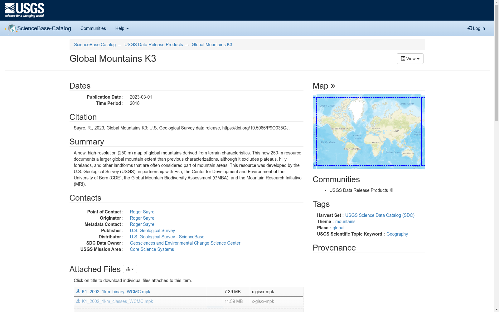
A new, high-resolution (250 m) map of global mountains derived from terrain characteristics. This new 250-m resource documents a larger global mountain extent than previous characterizations, although it excludes plateaus, hilly forelands, and other landforms that are often considered part of mountain areas. This resource was developed by the U.S. Geological Survey (USGS), in partnership with Esri, the Center for Development and Environment of the University of Bern (CDE), the Global Mountain Biodiversity Assessment (GMBA), and the Mountain Research Initiative (MRI).
一款基于地形特征构建的新型高分辨率(250米)全球山地地图。该250米分辨率数据集所记录的全球山地覆盖范围,较以往的山地特征表征成果更广,但未纳入高原、丘陵前缘带以及其他常被归类为山地的地貌类型。本数据集由美国地质调查局(U.S. Geological Survey, USGS)联合Esri、伯尔尼大学发展与环境中心(Center for Development and Environment of the University of Bern, CDE)、全球山地生物多样性评估(Global Mountain Biodiversity Assessment, GMBA)以及山地研究倡议(Mountain Research Initiative, MRI)共同开发完成。
创建时间:
2023-06-28
搜集汇总
数据集介绍
背景与挑战
背景概述
Global Mountains K3是一个高分辨率(250米)的全球山脉地图数据集,由USGS及其合作伙伴开发,提供了比以往更详细的全球山脉分布信息,旨在支持山地生态系统的保护。
以上内容由遇见数据集搜集并总结生成



