中国区域PML-V2陆地蒸散发与总初级生产力数据集(2000.02.26-2020.12.31)
收藏国家青藏高原科学数据中心2022-11-25 更新2024-04-21 收录
下载链接:
https://data.tpdc.ac.cn/zh-hans/data/40f57c67-33a6-402d-bd37-6ede91919f23
下载链接
链接失效反馈官方服务:
资源简介:
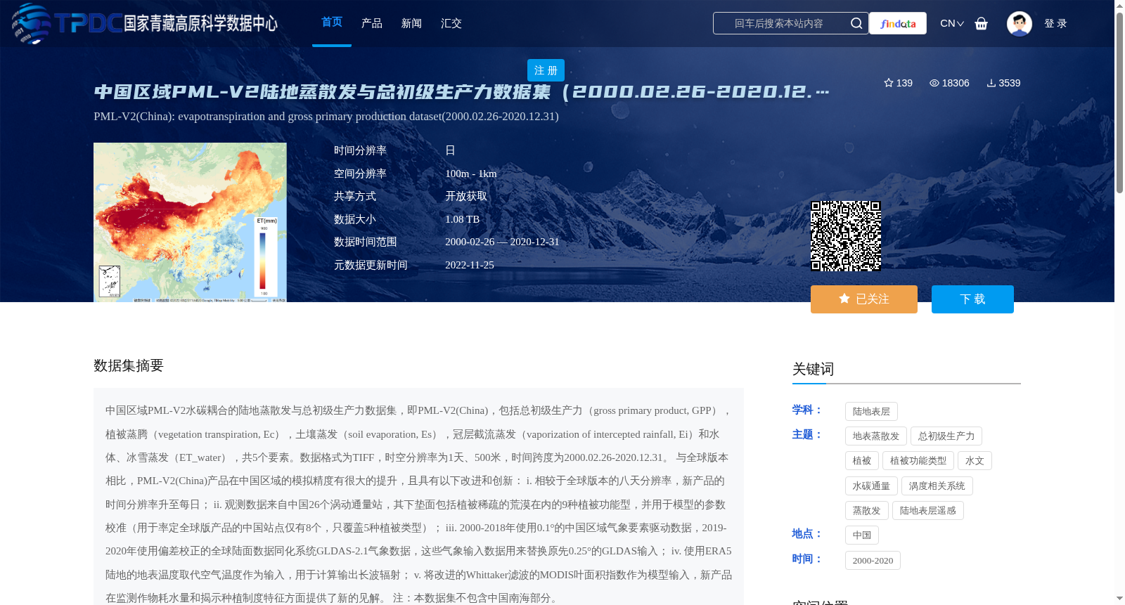
中国区域PML-V2水碳耦合的陆地蒸散发与总初级生产力数据集,即PML-V2(China),包括总初级生产力(gross primary product, GPP),植被蒸腾(vegetation transpiration, Ec),土壤蒸发(soil evaporation, Es),冠层截流蒸发(vaporization of intercepted rainfall, Ei)和水体、冰雪蒸发(ET_water),共5个要素。数据格式为TIFF,时空分辨率为1天、500米,时间跨度为2000.02.26-2020.12.31。
与全球版本相比,PML-V2(China)产品在中国区域的模拟精度有很大的提升,且具有以下改进和创新:
i. 相较于全球版本的八天分辨率,新产品的时间分辨率升至每日;
ii. 观测数据来自中国26个涡动通量站,其下垫面包括植被稀疏的荒漠在内的9种植被功能型,并用于模型的参数校准(用于率定全球版产品的中国站点仅有8个,只覆盖5种植被类型);
iii. 2000-2018年使用0.1°的中国区域气象要素驱动数据,2019-2020年使用偏差校正的全球陆面数据同化系统GLDAS-2.1气象数据,这些气象输入数据用来替换原先0.25°的GLDAS输入;
iv. 使用ERA5陆地的地表温度取代空气温度作为输入,用于计算输出长波辐射;
v. 将改进的Whittaker滤波的MODIS叶面积指数作为模型输入,新产品在监测作物耗水量和揭示种植制度特征方面提供了新的见解。
注:本数据集不包含中国南海部分。
The PML-V2(China) dataset refers to the China-specific terrestrial evapotranspiration and gross primary productivity dataset coupled with water-carbon cycles, which includes five variables: gross primary productivity (GPP), vegetation transpiration (Ec), soil evaporation (Es), vaporization of intercepted rainfall (Ei), and evaporation from water bodies, snow and ice (ET_water). The data is stored in TIFF format, with a temporal resolution of 1 day and spatial resolution of 500 meters, covering the period from February 26, 2000 to December 31, 2020.
Compared with the global version of PML-V2, the PML-V2(China) product has greatly improved simulation accuracy across China, and features the following improvements and innovations:
i. The temporal resolution has been upgraded from the 8-day resolution of the global version to daily;
ii. The observational data is sourced from 26 eddy covariance flux stations across China, whose underlying surfaces cover 9 plant functional types including sparsely vegetated desert, and is used for model parameter calibration (only 8 Chinese sites covering 5 vegetation types were used for calibrating the global version of the product);
iii. Meteorological driving data at 0.1° spatial resolution for China was used for the period 2000–2018, while bias-corrected Global Land Data Assimilation System (GLDAS)-2.1 meteorological data was used for 2019–2020, replacing the original 0.25° GLDAS input data;
iv. ERA5 land surface temperature was used as input instead of air temperature for calculating outgoing longwave radiation;
v. The improved Whittaker-filtered MODIS Leaf Area Index (LAI) was adopted as model input, providing new insights into monitoring crop water consumption and revealing cropping system characteristics.
Note: This dataset does not include the South China Sea.
提供机构:
张永强,何韶阳
创建时间:
2022-05-06
搜集汇总
数据集介绍
背景与挑战
背景概述
中国区域PML-V2陆地蒸散发与总初级生产力数据集(2000.02.26-2020.12.31)是一个高时空分辨率的水碳耦合数据集,包含5个关键要素,适用于中国区域的水碳通量研究。
以上内容由遇见数据集搜集并总结生成


