全球0.5度MODIS IGBP土地覆盖植被分类(2001-2012)
收藏国家青藏高原科学数据中心2021-04-19 更新2024-03-06 收录
下载链接:
https://data.tpdc.ac.cn/zh-hans/data/deb5e190-80c3-471e-a115-381f38a35a49
下载链接
链接失效反馈官方服务:
资源简介:
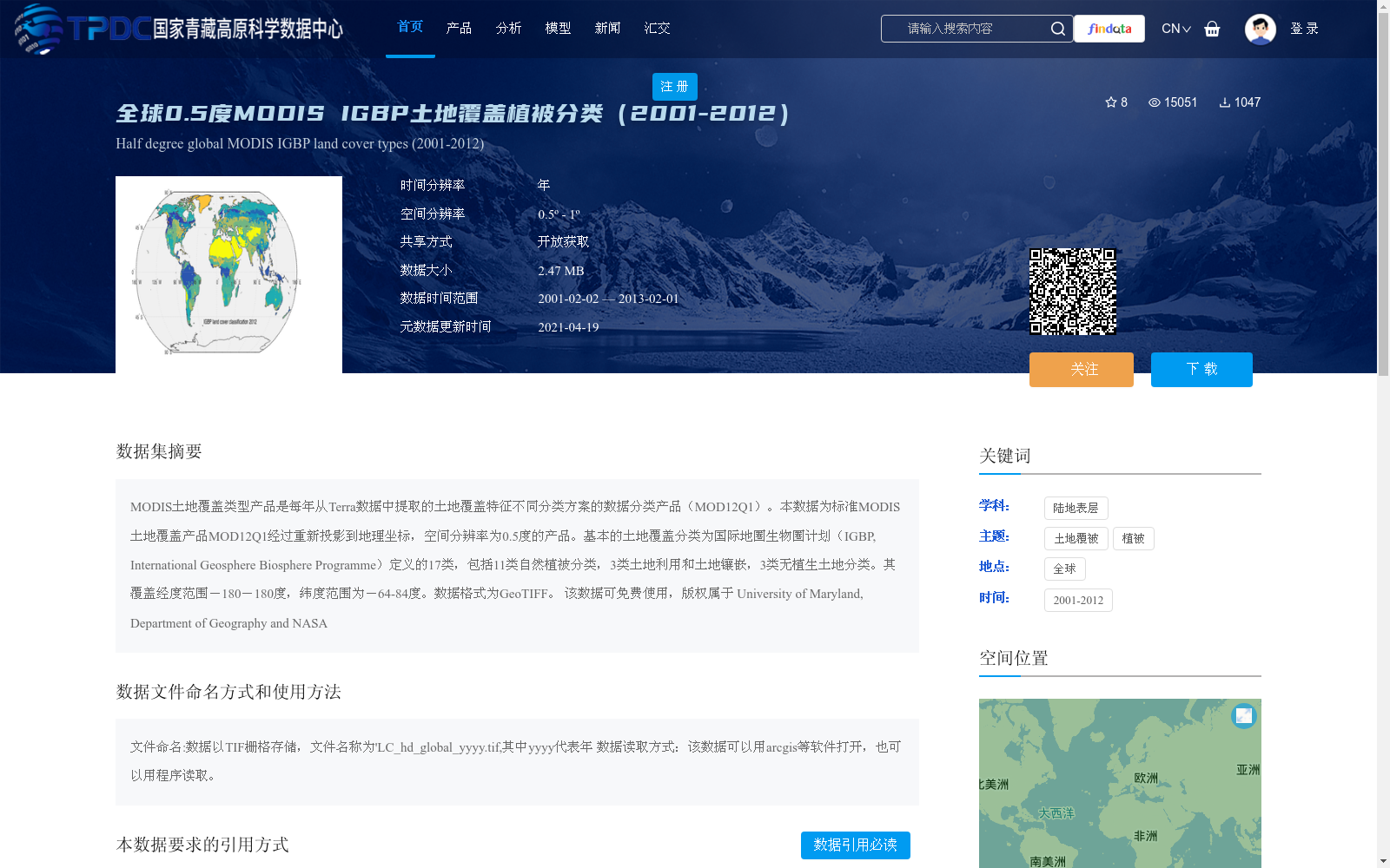
MODIS土地覆盖类型产品是每年从Terra数据中提取的土地覆盖特征不同分类方案的数据分类产品(MOD12Q1)。本数据为标准MODIS土地覆盖产品MOD12Q1经过重新投影到地理坐标,空间分辨率为0.5度的产品。基本的土地覆盖分类为国际地圈生物圈计划(IGBP, International Geosphere Biosphere Programme)定义的17类,包括11类自然植被分类,3类土地利用和土地镶嵌,3类无植生土地分类。其覆盖经度范围-180-180度,纬度范围为-64-84度。数据格式为GeoTIFF。
该数据可免费使用,版权属于 University of Maryland, Department of Geography and NASA
The MODIS Land Cover Type Product is an annual classified data product derived from Terra satellite data, which implements multiple classification schemes for land cover characteristics (MOD12Q1). This dataset is a reprojected version of the standard MODIS land cover product MOD12Q1, projected to the geographic coordinate system with a spatial resolution of 0.5 degrees. The core land cover taxonomy includes 17 categories defined by the International Geosphere Biosphere Programme (IGBP), consisting of 11 natural vegetation classes, 3 land use and land mosaic classes, and 3 non-vegetated land classes. It spans a global geographic domain with longitudes from -180° to 180° and latitudes from -64° to 84°. The data is stored in GeoTIFF format.
This data is freely accessible, and the copyright is held by the University of Maryland, Department of Geography and NASA.
提供机构:
S.Channan,Channan,徐希燕
创建时间:
2018-03-13
搜集汇总
数据集介绍
背景与挑战
背景概述
该数据集是全球0.5度空间分辨率的MODIS IGBP土地覆盖分类产品,覆盖2001年至2012年,基于国际地圈生物圈计划(IGBP)的17类分类方案,包括自然植被、土地利用和无植生土地等类别。数据以GeoTIFF格式提供,可免费开放获取,适用于全球土地覆盖变化研究。
以上内容由遇见数据集搜集并总结生成


