BelleGroup/school_math_0.25M
收藏Hugging Face2023-04-08 更新2024-03-04 收录
下载链接:
https://hf-mirror.com/datasets/BelleGroup/school_math_0.25M
下载链接
链接失效反馈资源简介:
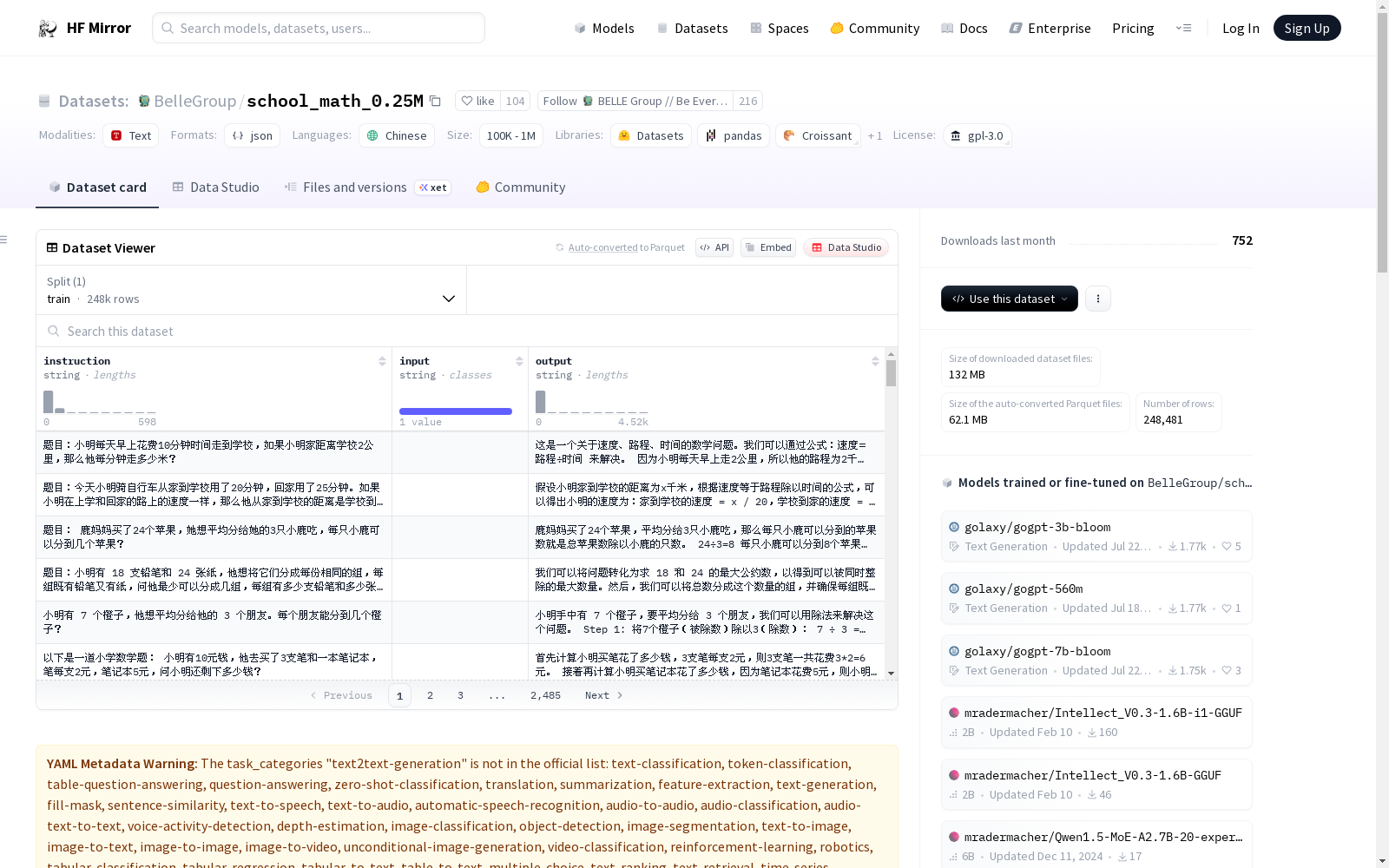
包含约25万条由BELLE项目生成的中文数学题数据,包含解题过程。此数据集由ChatGPT产生,未经过严格校验,题目或解题过程可能包含错误。使用过程中请注意这一点。
Contains approximately 250,000 Chinese math problem datasets with solution steps generated by the BELLE project. This dataset was generated by ChatGPT and has not undergone strict validation; errors may exist in either the problems or their solution steps. Please note this during usage.
提供机构:
BelleGroup
原始信息汇总
School Math 0.25M 数据集概述
基本信息
- 许可证: GPL-3.0
- 任务类别: 文本到文本生成
- 语言: 中文
- 数据集大小: 10万<n<100万
内容描述
- 数据集内容: 包含约25万条中文数学题及其解题过程,由BELLE项目生成。
- 数据来源: 由ChatGPT生成,未经严格校验,题目或解题过程可能包含错误。
数据结构
- 字段说明:
- instruction: 指令,描述题目内容。
- input: 输入,本数据集此字段均为空。
- output: 输出,包含解题过程和答案。
使用限制
- 使用目的: 仅限于研究目的,禁止商业使用及其他可能对社会造成危害的用途。
- 注意事项: 由于数据未经严格验证,使用时需注意甄别,开发者不承担因使用本数据集带来的任何责任。
搜集汇总
数据集介绍
构建方式
School Math 0.25M数据集是由BELLE项目利用ChatGPT生成的,总计约25万条中文数学题及其解题过程。数据集构建时,重点模拟了学校数学教育场景中的问题与解答,涵盖了从问题提出到解答步骤的完整流程。
使用方法
使用School Math 0.25M数据集时,用户需遵守GPL-3.0协议,且仅限于研究目的。数据集以JSON格式存储,包含'instruction'(题目描述)、'input'(本数据集均为空)、'output'(解题过程)三个字段,用户可以根据这些字段进行数学题目的训练与测试。
背景与挑战
背景概述
School Math 0.25M数据集,由BELLE项目于近期创建,旨在为中文数学题生成和解答研究提供支持。该数据集包含了约25万条中文数学题目及其解题过程,是由ChatGPT生成的,主要研究人员或机构为BELLE项目团队。这一数据集的诞生,为自然语言处理领域中的数学题理解和生成任务提供了丰富的资源,对提升机器学习模型在数学题处理方面的能力具有重要的研究价值。
当前挑战
尽管School Math 0.25M数据集在规模和内容上为研究提供了便利,但也面临诸多挑战。首先,数据集未经严格校验,可能存在题目或解答的错误,这为后续的研究和应用带来了事实性错误的可能。其次,构建过程中所遇到的挑战包括如何确保生成的数学题目和解答既具有教育价值,又符合实际的教学场景。此外,数据集的使用限制要求开发者仅将数据用于研究目的,不得用于商业用途,这也对数据集的广泛应用造成了一定的限制。
常用场景
经典使用场景
在自然语言处理领域,尤其是文本到文本生成任务中,School Math 0.25M数据集以其独特的中文数学题及解题过程,成为了一项不可或缺的资源。该数据集通过提供数学题的描述与解答,为构建和训练数学题自动解答系统提供了丰富的训练素材。
解决学术问题
该数据集解决了中文数学教育领域中,自动解题系统缺乏高质量训练数据的问题。其对于促进教育技术的发展,推动个性化学习以及智能教育系统的构建具有重要的学术价值。此外,该数据集的引入也为自然语言理解和生成领域的研究提供了新的视角和挑战。
实际应用
在实际应用中,School Math 0.25M数据集可被用于开发智能教育辅助工具,如在线数学题解答服务、自动评分系统以及智能教学系统的构建,从而提高教育效率,实现教育的智能化和个性化。
数据集最近研究
最新研究方向
在自然语言处理领域,文本到文本生成的任务持续受到研究者的关注。BelleGroup/school_math_0.25M数据集为此领域提供了约25万条中文数学题目及解题过程,这些数据由BELLE项目生成,旨在促进数学教育相关应用的开发与研究。近期研究聚焦于利用此类数据集改进数学题目的自动生成与解答系统,进而提高教育辅助工具的智能化水平。此数据集的运用,不仅推动了自然语言处理技术在教育领域的融合应用,也为探索人机协作教学提供了新的视角,对于教育信息化和智能化具有重要的实践意义。
以上内容由遇见数据集搜集并总结生成


