
Overture Maps - Transportation
收藏Databricks2025-01-08 收录
下载链接:
https://marketplace.databricks.com/details/9116f88a-e05b-4954-9b0d-04660bcd7a02/CARTO_Overture-Maps---Transportation
下载链接
链接失效反馈官方服务:
资源简介:
**Overview**
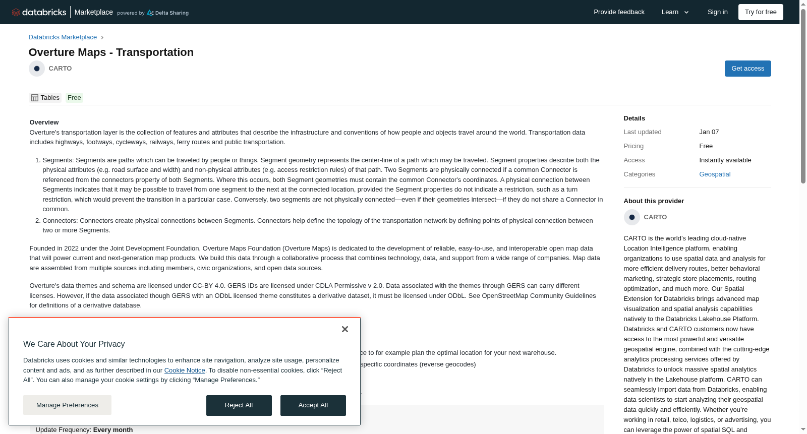
Overture's transportation layer is the collection of features and attributes that describe the infrastructure and conventions of how people and objects travel around the world. Transportation data includes highways, footways, cycleways, railways, ferry routes and public transportation.
1. Segments: Segments are paths which can be traveled by people or things. Segment geometry represents the center-line of a path which may be traveled. Segment properties describe both the physical attributes (e.g. road surface and width) and non-physical attributes (e.g. access restriction rules) of that path. Two Segments are physically connected if a common Connector is referenced from the connectors property of both Segments. Where this occurs, both Segment geometries must contain the common Connector's coordinates. A physical connection between Segments indicates that it may be possible to travel from one segment to the next at the connected location, provided the Segment properties do not indicate a restriction, such as a turn restriction, which would prevent the transition in a particular case. Conversely, two segments are not physically connected—even if their geometries intersect—if they do not share a Connector in common.
2. Connectors: Connectors create physical connections between Segments. Connectors help define the topology of the transportation network by defining points of physical connection between two or more Segments.
Founded in 2022 under the Joint Development Foundation, Overture Maps Foundation (Overture Maps) is dedicated to the development of reliable, easy-to-use, and interoperable open map data that will power current and next-generation map products. We build this data through a collaborative process that combines technology, data, and support from a wide range of companies. Map data are assembled from multiple sources including members, civic organizations, and open data sources.
Overture's data themes and schema are licensed under CC-BY 4.0. GERS IDs are licensed under CDLA Permissive v 2.0. Data associated with the themes through GERS can carry different licenses. However, if the data associated though GERS with an ODbL licensed theme constitutes a derivative dataset, it must be licensed under ODbL. See OpenStreetMap Community Guidelines for definitions of a derivative database.
**Use cases**
- Mapping and geospatial visualizations: Rendering a map of connected roads and paths.
- Location Planning:
Build network of connected roads and paths and calculate optimal routes from place to place to for example plan the optimal location for your next warehouse.
- Location Geocoding:
Getting the coordinates of street intersections (geocodes) or the street intersection near specific coordinates (reverse geocodes)
**Additional Insights**
This data is processed, onboarded and maintained by CARTO in collaboration with the Overture Maps Foundation.
提供机构:
CARTO
搜集汇总
数据集介绍
背景与挑战
背景概述
该数据集提供全球交通基础设施的详细数据,包括路径段及其连接点信息,支持地图渲染、路径优化和地理编码等应用。数据由Overture Maps Foundation与CARTO协作维护,采用CC-BY 4.0等开放许可协议。
以上内容由遇见数据集搜集并总结生成



