
NFIE-Geo Version 2 (20150615)
收藏DataONE2021-12-05 更新2024-06-08 收录
下载链接:
https://search.dataone.org/view/sha256:bafe55a9c5176543a2a5b1569267e5de0dcfbd2e67d6b72db015d4d8e5e50ed2
下载链接
链接失效反馈官方服务:
资源简介:
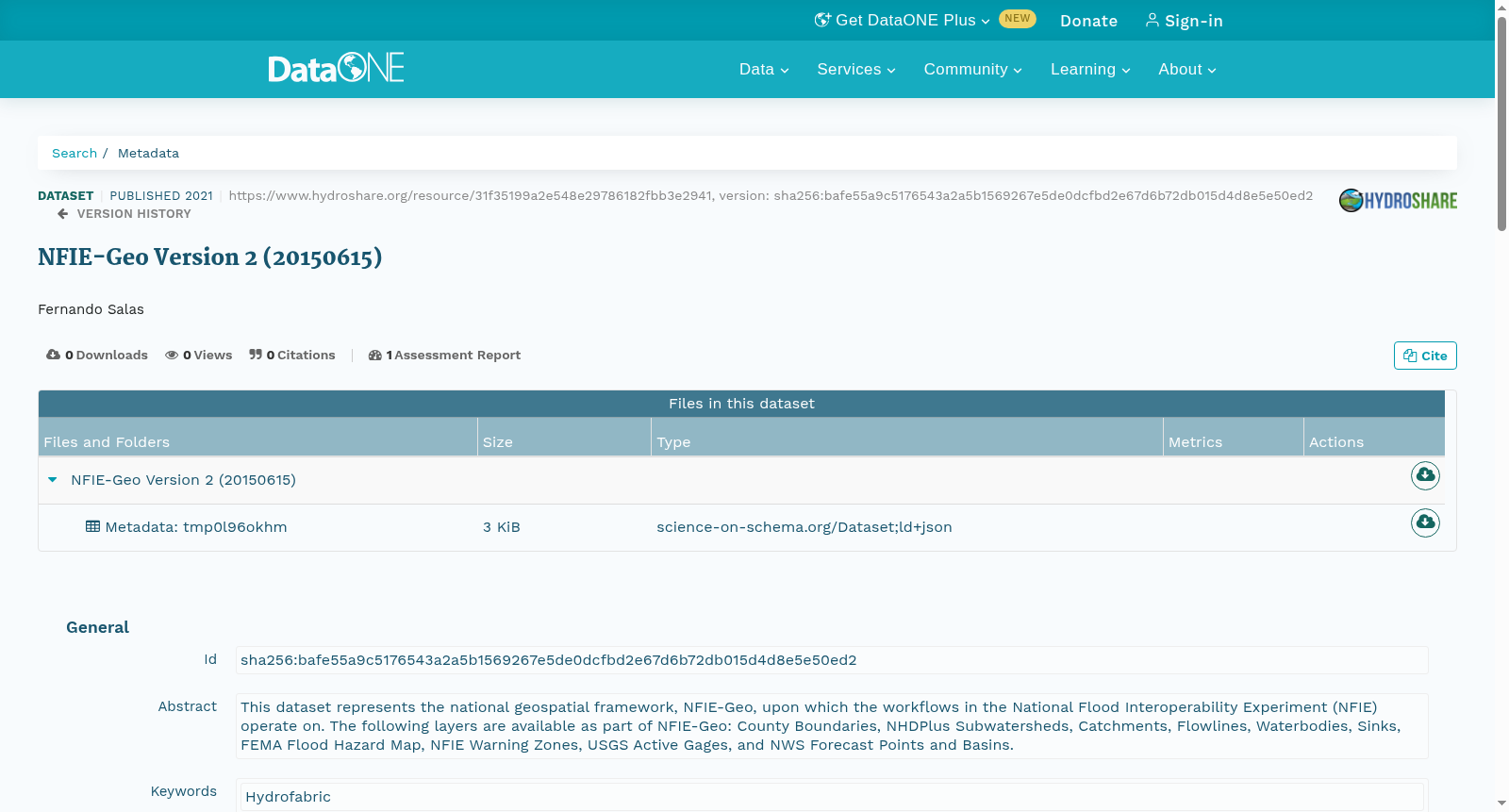
This dataset represents the national geospatial framework, NFIE-Geo, upon which the workflows in the National Flood Interoperability Experiment (NFIE) operate on. The following layers are available as part of NFIE-Geo: County Boundaries, NHDPlus Subwatersheds, Catchments, Flowlines, Waterbodies, Sinks, FEMA Flood Hazard Map, NFIE Warning Zones, USGS Active Gages, and NWS Forecast Points and Basins.
本数据集为国家地理空间框架(National Geospatial Framework, NFIE-Geo),该框架是国家洪水互操作性试验(National Flood Interoperability Experiment, NFIE)各项工作流的运行基础。NFIE-Geo包含以下地理图层:县级行政区界、NHDPlus子流域、汇水区、水流线、水体、汇水洼地、联邦应急管理局(Federal Emergency Management Agency, FEMA)洪水灾害风险图、NFIE预警区域、美国地质调查局(United States Geological Survey, USGS)实时水文监测站点,以及国家气象局(National Weather Service, NWS)预报站点与预报流域。
创建时间:
2021-12-05
搜集汇总
数据集介绍
以上内容由遇见数据集搜集并总结生成



