
NLCD (National Land Cover Database)
收藏知名数据库2026-04-23 收录
数据链接:
官方服务:
资源简介:
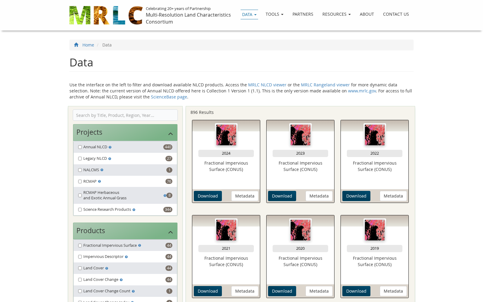
NLCD(美国国家土地覆盖数据库)是美国国家级的土地覆盖数据库,由美国地质调查局(USGS)主导的多分辨率土地特征联盟(MRLC)开发。该数据库提供30米分辨率的全国土地覆盖数据,包括森林、草地、水体、城市区域等分类,涵盖1992年至今的多个时间序列,用于生态监测、环境评估和自然资源管理。
NLCD (National Land Cover Database) is a national-level land cover database of the United States, developed by the Multi-Resolution Land Characteristics Consortium (MRLC) under the leadership of the United States Geological Survey (USGS). This database provides nationwide 30-meter resolution land cover data with categories including forests, grasslands, water bodies, urban areas and others, and encompasses multiple time series from 1992 to the present. It is used for ecological monitoring, environmental assessment and natural resource management.
提供机构:
美国地质调查局;多分辨率土地特征联盟搜集汇总
数据集介绍
背景与挑战
背景概述
NLCD是美国国家级的土地覆盖数据库,由美国地质调查局主导的多分辨率土地特征联盟开发。该数据库提供30米分辨率的全国土地覆盖数据,涵盖1992年至今的多个时间序列,用于生态监测、环境评估和自然资源管理。
以上内容由遇见数据集搜集并总结生成


