全国InSAR一张图平台
收藏海南省数据产品超市2024-09-19 更新2024-09-20 收录
下载链接:
https://www.datadex.cn/app/buyApi?id=afbefd172b464306bbe31106705f3886
下载链接
链接失效反馈官方服务:
资源简介:
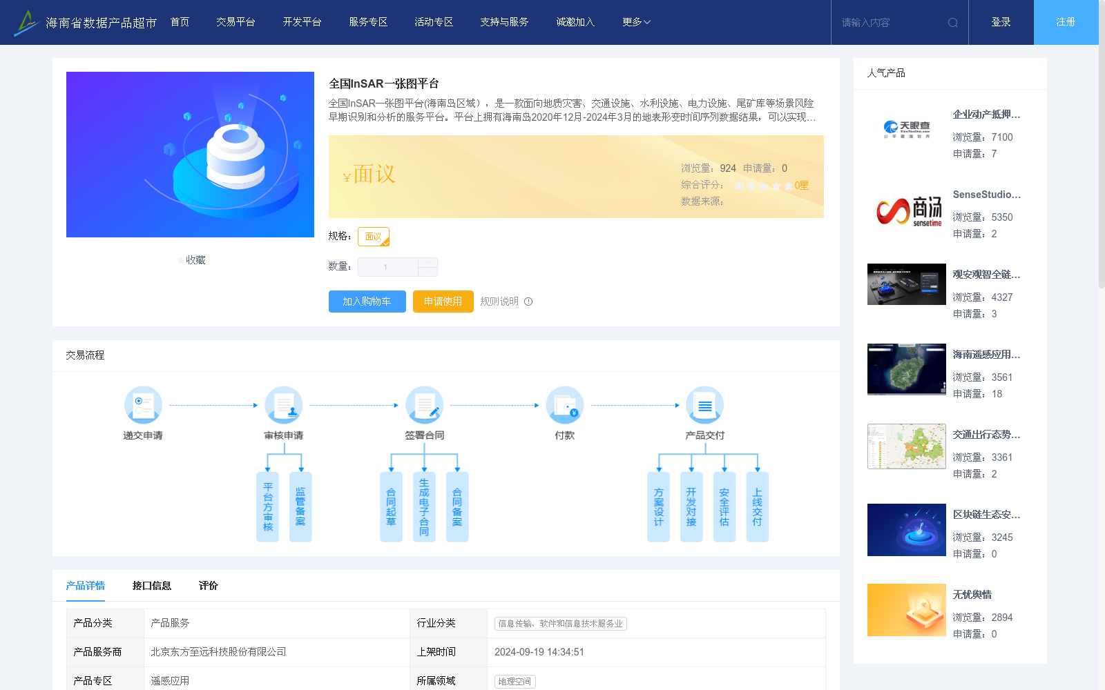
全国InSAR一张图平台(海南岛区域),是一款面向地质灾害、交通设施、水利设施、电力设施、尾矿库等场景风险早期识别和分析的服务平台。平台上拥有海南岛2020年12月-2024年3月的地表形变时间序列数据结果,可以实现重点区域形变特征分析,为地表安全监测提供参考依据。
National InSAR One-Map Platform (Hainan Island Region) is a service platform dedicated to the early identification and analysis of risks in scenarios including geological disasters, transportation facilities, water conservancy facilities, power facilities, and tailings ponds. The platform holds surface deformation time series data results for Hainan Island from December 2020 to March 2024, enabling the analysis of deformation characteristics in key areas and providing a reference basis for surface safety monitoring.
提供机构:
北京东方至远科技股份有限公司
创建时间:
2024-09-19
搜集汇总
数据集介绍
以上内容由遇见数据集搜集并总结生成


