Final LCZ maps with post-classification processing
收藏DataCite Commons2025-06-01 更新2024-08-19 收录
下载链接:
https://springernature.figshare.com/articles/dataset/Final_LCZ_maps_with_post-classification_processing/24964275/1
下载链接
链接失效反馈官方服务:
资源简介:
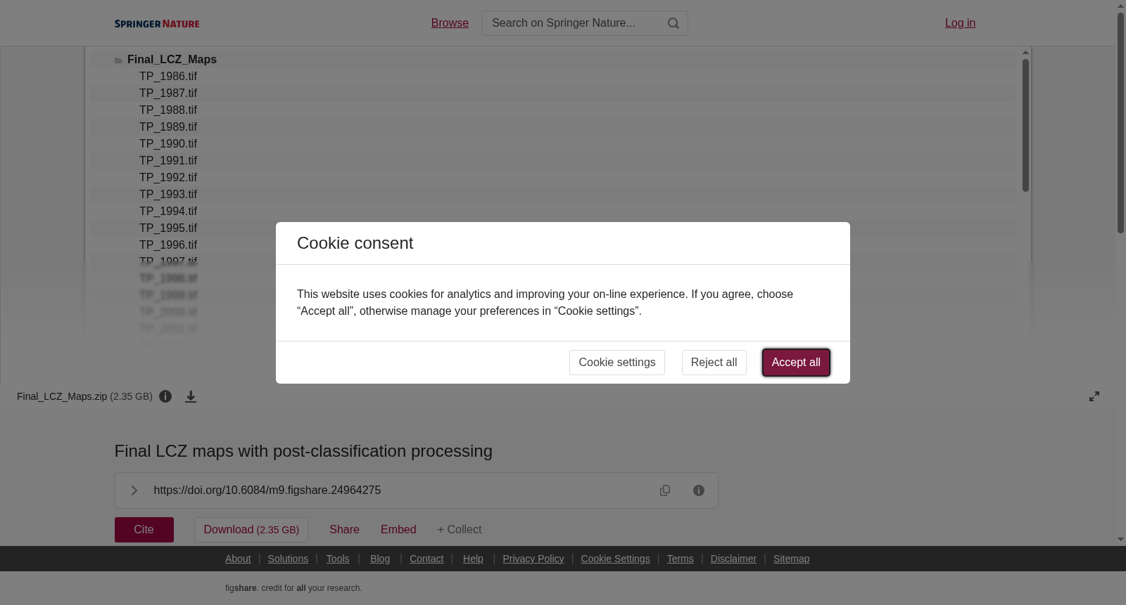
This compressed folder contains annual CONUS-wide LCZ maps ranging from 1986 to 2020, which is the main and final LCZ product of this dataset. The maps are derived from a lightweight contextual Random Forest model with spatial and temporal post-classification processing. Each map is provided in the Geo TIFF file format with representing year indicated in the file name. For example, the file "TP_2020.tif" represents the LCZ map for 2020. All LCZ maps have a spatial resolution at 100m and projection of USA Contiguous Albers Equal Area Conic (EPSG=5070). The LCZ classes are indicated by numbers 1-17. Note that LCZ class 7 (Lightweight low-rise) is not present in this dataset. Pixels of value 0 represents NoData.
该压缩文件夹包含1986年至2020年的美国本土(CONUS)全域局地气候区(Local Climate Zone,LCZ)年度地图,为本数据集的核心最终LCZ成果。此类地图基于轻量级上下文随机森林(Random Forest)模型构建,并经过空间与时间维度的分类后处理。每份地图均以Geo TIFF格式存储,文件名中标注了其对应的年份。例如,文件"TP_2020.tif"即代表2020年的局地气候区地图。所有局地气候区地图的空间分辨率均为100米,投影坐标系为美国本土阿尔伯斯等面积圆锥投影(EPSG=5070)。局地气候区的类别以数字1至17进行标识。需注意,本数据集未包含7类(低矮轻型建筑)的局地气候区类别。像素值为0的区域代表无数据(NoData)。
提供机构:
figshare
创建时间:
2024-02-12
搜集汇总
数据集介绍
背景与挑战
背景概述
该数据集包含1986年至2020年间美国本土的年度局部气候区(LCZ)地图,采用轻量级上下文随机森林模型并结合空间和时间后分类处理生成。地图以Geo TIFF格式提供,空间分辨率为100米,使用USA Contiguous Albers Equal Area Conic投影(EPSG=5070),LCZ类别用数字1-17表示(不含类别7),无数据区域用0表示。
以上内容由遇见数据集搜集并总结生成


