2020年中西亚500m MODIS土地退化产品数据
收藏资源简介:
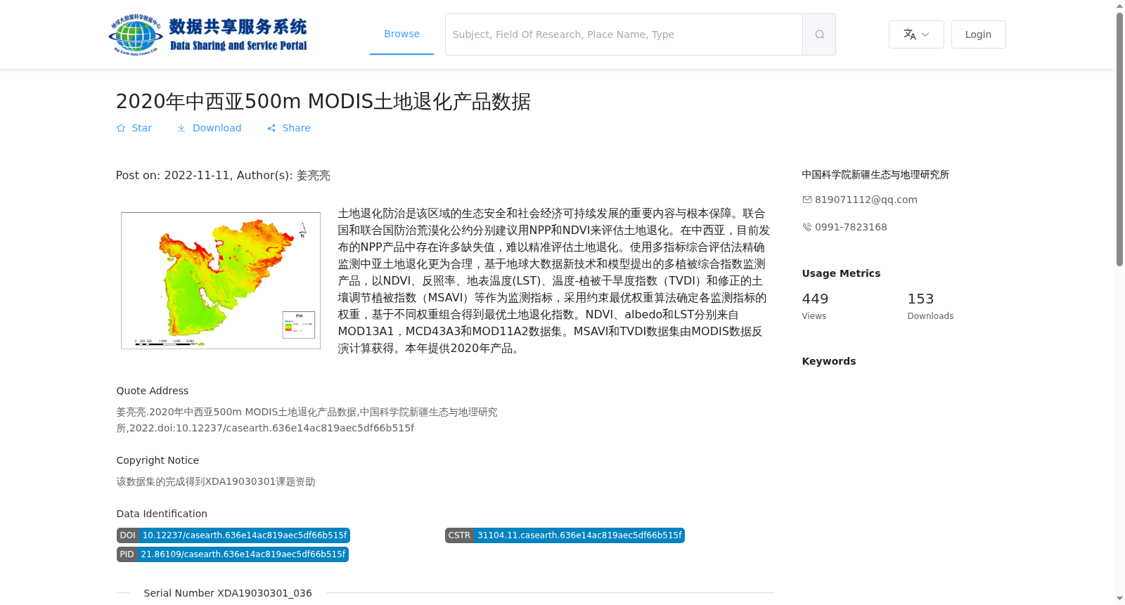
土地退化防治是该区域的生态安全和社会经济可持续发展的重要内容与根本保障。联合国和联合国防治荒漠化公约分别建议用NPP和NDVI来评估土地退化。在中西亚,目前发布的NPP产品中存在许多缺失值,难以精准评估土地退化。使用多指标综合评估法精确监测中亚土地退化更为合理,基于地球大数据新技术和模型提出的多植被综合指数监测产品,以NDVI、反照率、地表温度(LST)、温度-植被干旱度指数(TVDI)和修正的土壤调节植被指数(MSAVI)等作为监测指标,采用约束最优权重算法确定各监测指标的权重,基于不同权重组合得到最优土地退化指数。NDVI、albedo和LST分别来自MOD13A1,MCD43A3和MOD11A2数据集。MSAVI和TVDI数据集由MODIS数据反演计算获得。本年提供2020年产品。
Preventing and controlling land degradation is a critical component and fundamental guarantee for the ecological security and socio-economic sustainable development of this region. The United Nations and the United Nations Convention to Combat Desertification (UNCCD) respectively recommend using NPP and NDVI to assess land degradation. In Central and West Asia, the currently released NPP products contain numerous missing values, making it difficult to accurately assess land degradation. It is more reasonable to accurately monitor land degradation in Central Asia using a multi-index comprehensive assessment method: the multi-vegetation comprehensive index monitoring product, proposed based on new earth big data technologies and models, takes NDVI, albedo, Land Surface Temperature (LST), Temperature-Vegetation Drought Index (TVDI) and Modified Soil-Adjusted Vegetation Index (MSAVI) as monitoring indicators, adopts the constrained optimal weight algorithm to determine the weights of each monitoring indicator, and derives the optimal land degradation index based on different weight combinations. NDVI, albedo and LST are sourced from the MOD13A1, MCD43A3 and MOD11A2 datasets respectively. The MSAVI and TVDI datasets are retrieved and calculated from MODIS data. The 2020 version of this product is provided in this dataset.