青藏科考区历史堰塞湖溃决洪水模拟(2000,2018)
收藏资源简介:
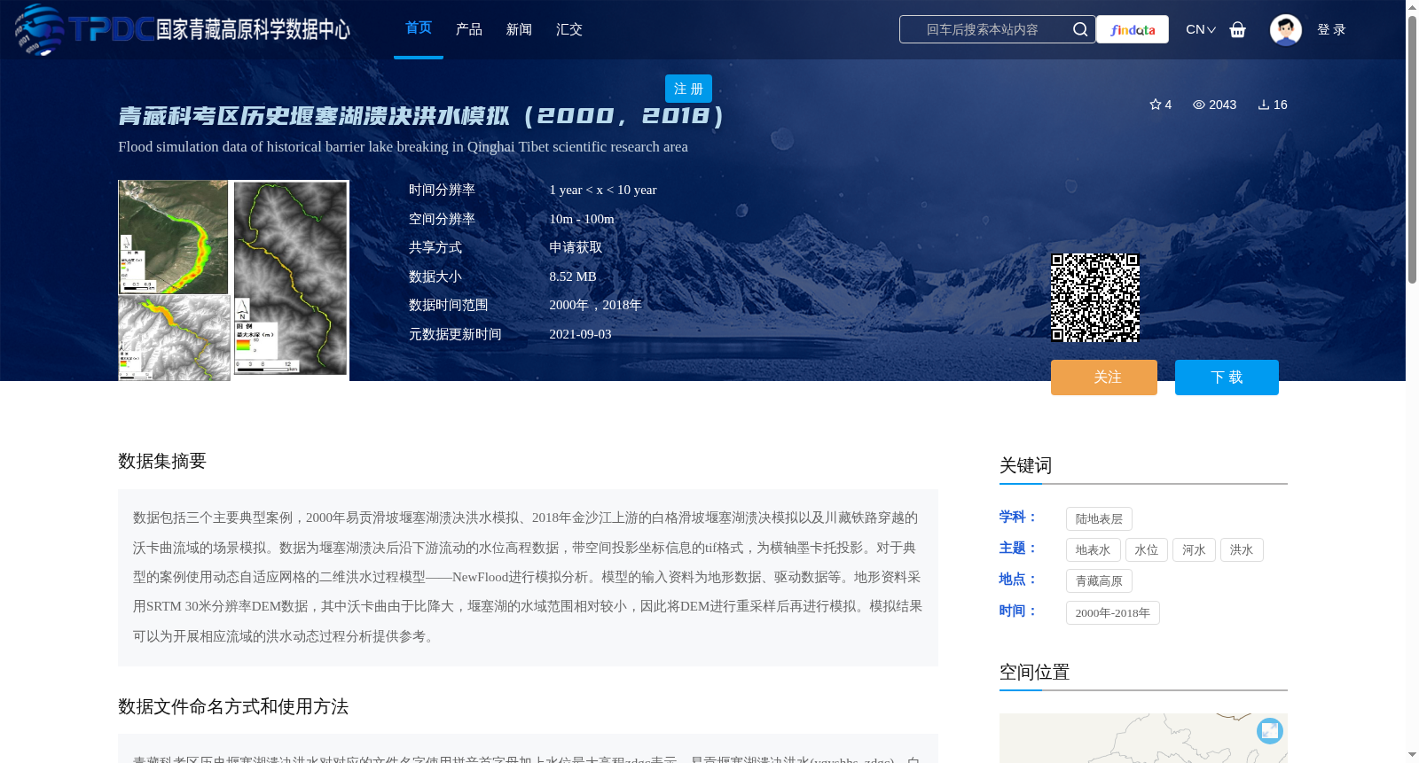
数据包括三个主要典型案例,2000年易贡滑坡堰塞湖溃决洪水模拟、2018年金沙江上游的白格滑坡堰塞湖溃决模拟以及川藏铁路穿越的沃卡曲流域的场景模拟。数据为堰塞湖溃决后沿下游流动的水位高程数据,带空间投影坐标信息的tif格式,为横轴墨卡托投影。对于典型的案例使用动态自适应网格的二维洪水过程模型——NewFlood进行模拟分析。模型的输入资料为地形数据、驱动数据等。地形资料采用SRTM 30米分辨率DEM数据,其中沃卡曲由于比降大,堰塞湖的水域范围相对较小,因此将DEM进行重采样后再进行模拟。模拟结果可以为开展相应流域的洪水动态过程分析提供参考。
This dataset contains three representative typical cases: the outburst flood simulation of the Yigong landslide-dammed lake in 2000, the outburst simulation of the Baige landslide-dammed lake in the upper reaches of the Jinsha River in 2018, and the scenario simulation of the Woqu River basin traversed by the Sichuan-Tibet Railway. The data are water level elevation data for the flow downstream following the dammed lake outburst, stored in TIFF format with spatial projection coordinates, specifically employing the Transverse Mercator projection. For these typical cases, a two-dimensional flood process model with dynamic adaptive meshes, named NewFlood, was utilized for simulation and analysis. The model inputs include topographic data, forcing data, and other relevant datasets. The topographic data are sourced from SRTM 30m-resolution DEM data. For the Woqu River basin, given its steep slope and relatively small water area of the dammed lake, the DEM was resampled prior to simulation. The simulation results can serve as a reference for conducting dynamic flood process analyses in corresponding river basins.