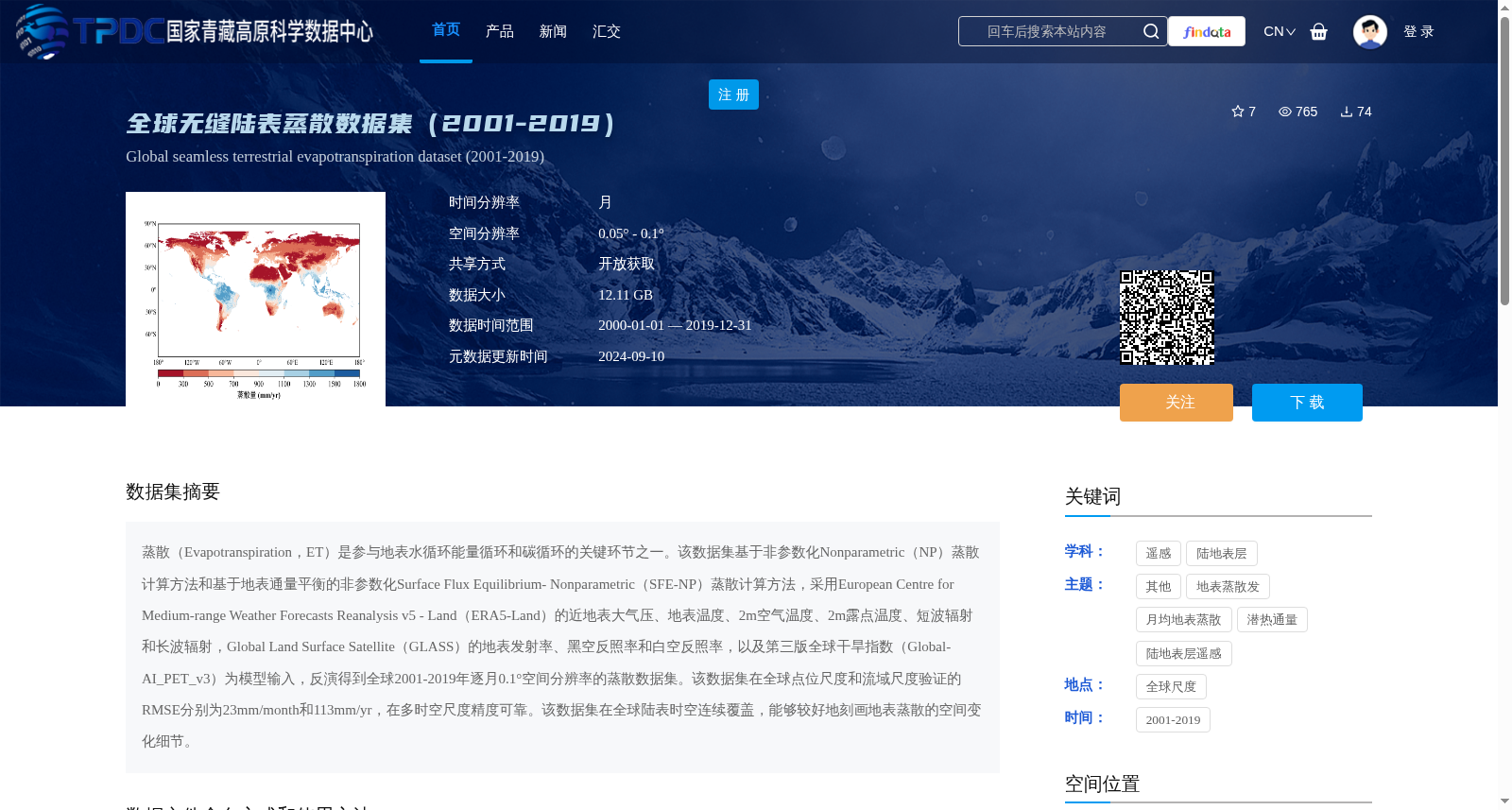
全球无缝陆表蒸散数据集(2001-2019)
收藏资源简介:
蒸散(Evapotranspiration,ET)是参与地表水循环能量循环和碳循环的关键环节之一。该数据集基于非参数化Nonparametric(NP)蒸散计算方法和基于地表通量平衡的非参数化Surface Flux Equilibrium- Nonparametric(SFE-NP)蒸散计算方法,采用European Centre for Medium-range Weather Forecasts Reanalysis v5 - Land(ERA5-Land)的近地表大气压、地表温度、2m空气温度、2m露点温度、短波辐射和长波辐射,Global Land Surface Satellite(GLASS)的地表发射率、黑空反照率和白空反照率,以及第三版全球干旱指数(Global-AI_PET_v3)为模型输入,反演得到全球2001-2019年逐月0.1°空间分辨率的蒸散数据集。该数据集在全球点位尺度和流域尺度验证的RMSE分别为23mm/month和113mm/yr,在多时空尺度精度可靠。该数据集在全球陆表时空连续覆盖,能够较好地刻画地表蒸散的空间变化细节。
Evapotranspiration (ET) is one of the critical links participating in the surface water cycle, energy cycle and carbon cycle. This dataset is developed using two nonparametric (NP) evapotranspiration estimation methods, among which the Surface Flux Equilibrium-Nonparametric (SFE-NP) method is based on surface flux balance. It takes multiple datasets as model inputs: near-surface atmospheric pressure, surface temperature, 2-meter air temperature, 2-meter dew point temperature, shortwave radiation and longwave radiation from the European Centre for Medium-range Weather Forecasts Reanalysis v5 - Land (ERA5-Land) product; surface emissivity, black-sky albedo and white-sky albedo from the Global Land Surface Satellite (GLASS) product; and the third version of the Global Aridity Index (Global-AI_PET_v3). Through inversion, a global monthly evapotranspiration dataset with a spatial resolution of 0.1° spanning from 2001 to 2019 is generated. The root mean square error (RMSE) values of this dataset validated at global point and basin scales are 23 mm/month and 113 mm/yr respectively, demonstrating reliable accuracy across multiple spatio-temporal scales. This dataset features spatially and temporally continuous coverage over global terrestrial surfaces, and can effectively characterize the detailed spatial variations of surface evapotranspiration.