2016-2021年一带一路沿线国家Sentinel-1优选影像数据集
收藏资源简介:
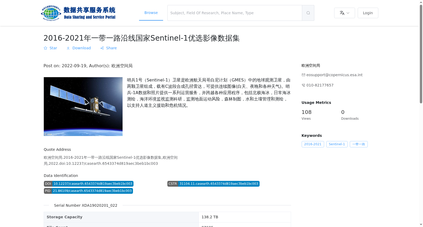
哨兵1号(Sentinel-1)卫星是欧洲航天局哥白尼计划(GMES)中的地球观测卫星,由两颗卫星组成,载有C波段合成孔径雷达,可提供连续图像(白天、夜晚和各种天气)。哨兵-1A数据和照片提供一系列运营服务,并跨越各种应用程序,包括北极海冰,日常海冰测绘,海洋环境监视监测科研,监测地面运动风险,森林制图,水和土壤管理和测绘,以支持人道主义援助和危机情况。
The Sentinel-1 satellite constellation is an Earth observation system under the Copernicus Programme (GMES) of the European Space Agency, consisting of two satellites each equipped with a C-band synthetic aperture radar. It is capable of providing continuous imagery under all weather conditions, both during the day and at night. Sentinel-1A data and imagery support a comprehensive suite of operational services and span a wide range of application fields, including Arctic sea ice monitoring, routine sea ice mapping, marine environmental surveillance and scientific research, ground movement risk monitoring, forest mapping, water and soil management and mapping, as well as support for humanitarian aid and crisis response efforts.