2010年中国1km地表坡向数据集
收藏地球大数据科学工程2024-05-01 收录
下载链接:
https://data.casearth.cn/sdo/detail/5c19a5670600cf2a3c557b00
下载链接
链接失效反馈官方服务:
资源简介:
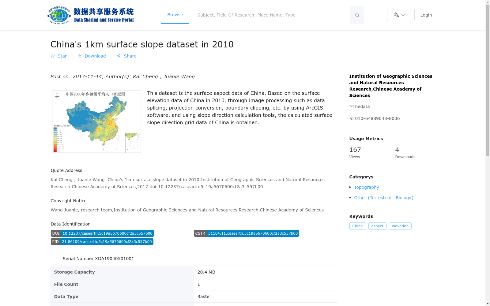
本数据集为中国地表坡向数据。基于2010年中国地表高程数据,使用ArcGIS软件经过数据拼接、投影转换、边界裁剪等数据处理,使用坡向计算工具,计算得到的中国地表坡向栅格数据。
This dataset is the surface aspect raster data of China. Derived from the 2010 Chinese surface elevation dataset, it was produced via data processing workflows including data mosaicking, projection transformation and boundary clipping conducted in ArcGIS software, followed by the computation of surface aspect using the dedicated aspect calculation tool.
提供机构:
中国科学院地理科学与资源研究所
搜集汇总
数据集介绍
背景与挑战
背景概述
2010年中国1km地表坡向数据集是基于2010年中国地表高程数据,通过ArcGIS软件处理和坡向计算工具生成的栅格数据,空间分辨率为1km,覆盖中国全境,数据格式为GeoTiff。
以上内容由遇见数据集搜集并总结生成


