长江流域0.008333°分辨率DEM数据集(2016年)
收藏国家地球系统科学数据中心2022-07-11 更新2024-03-04 收录
下载链接:
https://www.geodata.cn/data/datadetails.html?dataguid=6152364&docId=7382
下载链接
链接失效反馈官方服务:
资源简介:
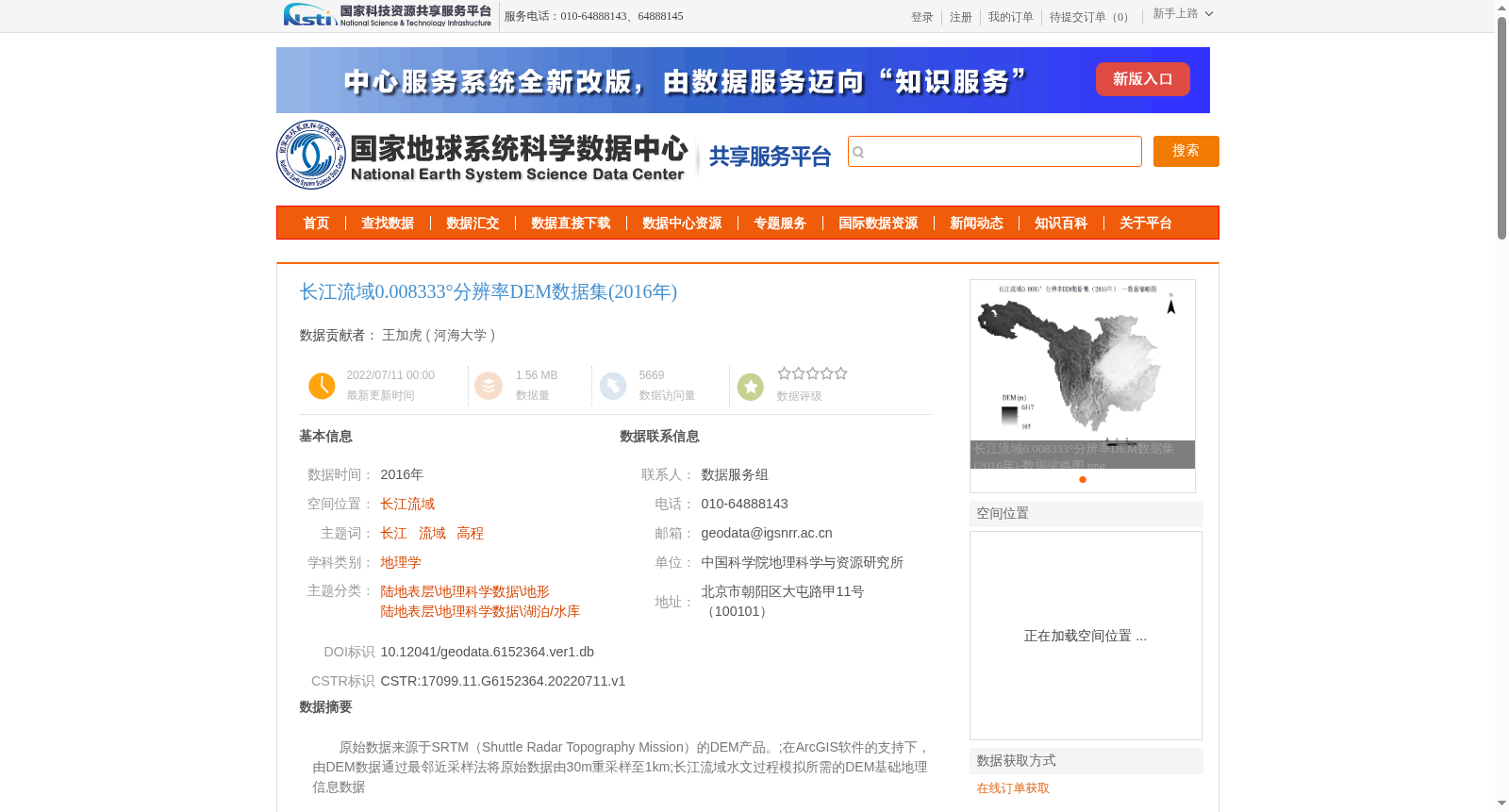
原始数据来源于SRTM(Shuttle Radar Topography Mission)的DEM产品。;在ArcGIS软件的支持下,由DEM数据通过最邻近采样法将原始数据由30m重采样至1km;长江流域水文过程模拟所需的DEM基础地理信息数据
The raw data is sourced from the DEM products of the Shuttle Radar Topography Mission (SRTM); With the support of ArcGIS software, the raw DEM data was resampled from 30 m to 1 km via the Nearest Neighbor Resampling method; This dataset is the foundational geospatial DEM data required for hydrological process simulation in the Yangtze River Basin.
提供机构:
河海大学
创建时间:
2022-07-11
搜集汇总
数据集介绍
背景与挑战
背景概述
该数据集是2016年长江流域的DEM数据,空间分辨率为0.008333°,原始数据来源于SRTM的DEM产品,并通过ArcGIS软件使用最邻近采样法从30m重采样至1km。主要用于长江流域水文过程模拟的基础地理信息需求。
以上内容由遇见数据集搜集并总结生成


