中国大都市群自然灾害数据(1900-2023)
收藏国家青藏高原科学数据中心2023-03-27 更新2024-03-01 收录
下载链接:
https://data.tpdc.ac.cn/zh-hans/data/1282f4e4-2427-4d09-8338-40df124a9641
下载链接
链接失效反馈官方服务:
资源简介:
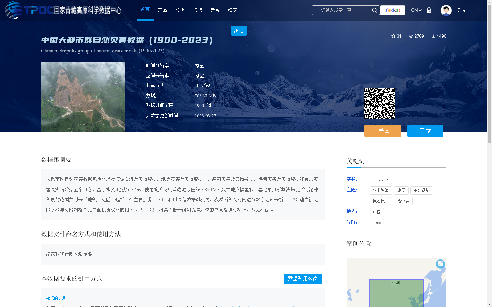
大都市区自然灾害数据包括崩塌滑坡泥石流及灾情数据、地震灾害及灾情数据、风暴潮灾害及灾情数据、洪涝灾害及灾情数据和台风灾害及灾情数据五个内容。基于水文-地貌学方法,使用航天飞机雷达地形任务(SRTM)数字地形模型和一套地形分析算法捕捉了河流冲积层的范围并划分了地貌洪泛区。包括三个主要步骤:(1)利用高程数据对流向、流域面积及河网进行数字地形分析;(2)建立洪泛区水深与河网网格单元中面积贡献率的相关关系;(3)将高程低于河网流量水位的单元格进行标记,即为洪泛区
The natural disaster dataset for metropolitan areas encompasses five categories: data on collapses, landslides, debris flows and their associated disaster situations; data on earthquake disasters and their corresponding situations; data on storm surge disasters and their corresponding situations; data on flood disasters and their corresponding situations; and data on typhoon disasters and their corresponding situations. Developed based on the hydro-geomorphological method, this dataset utilizes the Shuttle Radar Topography Mission (SRTM) digital terrain model and a set of topographic analysis algorithms to capture the extent of river alluvium and delineate geomorphic floodplains. Its construction involves three core steps: (1) Conducting digital terrain analysis of flow direction, watershed area and river network using elevation data; (2) Establishing the correlation between floodplain water depth and the area contribution rate of grid cells within the river network; (3) Marking the cells with elevation lower than the river flow water level as floodplains.
提供机构:
刘连友
创建时间:
2023-03-24
搜集汇总
数据集介绍
背景与挑战
背景概述
该数据集涵盖1900年至2023年中国大都市群的自然灾害信息,包括崩塌滑坡泥石流、地震、风暴潮、洪涝和台风五种灾害类型及其灾情数据,数据大小为708.37 MB,可开放获取。数据集基于水文-地貌学方法,利用SRTM数字地形模型和地形分析算法划分地貌洪泛区,适用于自然灾害风险评估和城市安全研究。
以上内容由遇见数据集搜集并总结生成


