粤港澳大湾区建筑高宽比数据集(2022)
收藏国家青藏高原科学数据中心2024-01-16 更新2024-03-01 收录
下载链接:
https://data.tpdc.ac.cn/zh-hans/data/4a87c3c7-8412-49be-a180-60bc0795f489
下载链接
链接失效反馈官方服务:
资源简介:
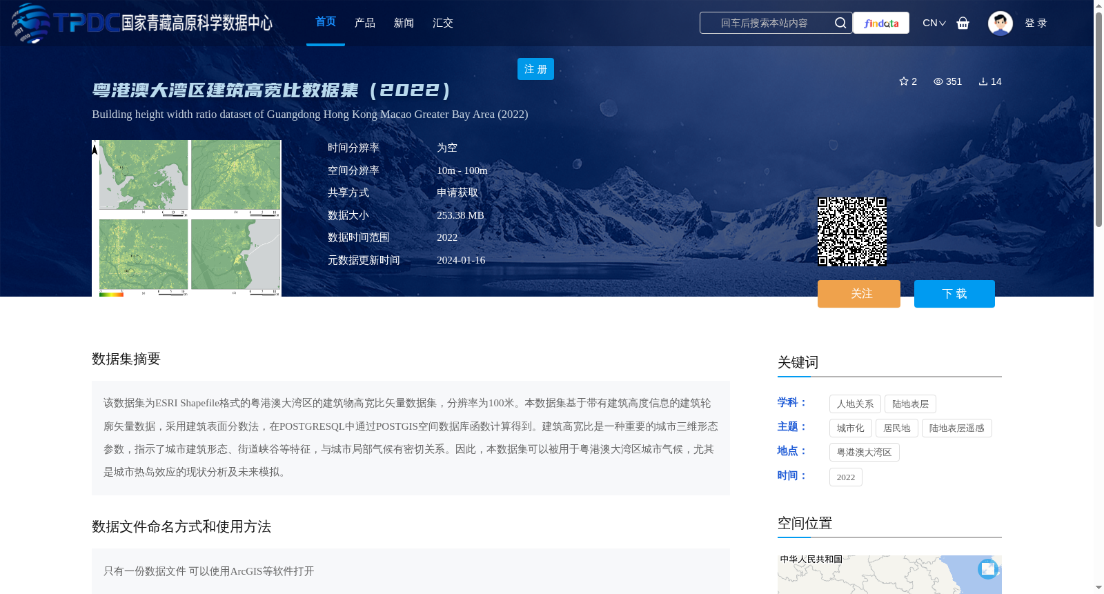
该数据集为ESRI Shapefile格式的粤港澳大湾区的建筑物高宽比矢量数据集,分辨率为100米。本数据集基于带有建筑高度信息的建筑轮廓矢量数据,采用建筑表面分数法,在POSTGRESQL中通过POSTGIS空间数据库函数计算得到。建筑高宽比是一种重要的城市三维形态参数,指示了城市建筑形态、街道峡谷等特征,与城市局部气候有密切关系。因此,本数据集可以被用于粤港澳大湾区城市气候,尤其是城市热岛效应的现状分析及未来模拟。
This dataset is a vector dataset of building height-to-width ratios for the Guangdong-Hong Kong-Macao Greater Bay Area, stored in ESRI Shapefile format with a spatial resolution of 100 meters. It is generated based on vector building footprint data with associated building height attributes, using the building surface fraction method and calculated via PostGIS spatial database functions within PostgreSQL. Building height-to-width ratio is an important urban three-dimensional morphological parameter that characterizes urban built forms, street canyons and other relevant features, and is closely correlated with urban local climate. Accordingly, this dataset can be applied to current status analysis and future simulation of urban climate, particularly the urban heat island effect, in the Guangdong-Hong Kong-Macao Greater Bay Area.
提供机构:
陈逸敏,赵帅
创建时间:
2024-01-15
搜集汇总
数据集介绍
背景与挑战
背景概述
该数据集是2022年粤港澳大湾区建筑物高宽比的矢量数据集,格式为ESRI Shapefile,空间分辨率为100米,基于建筑高度信息通过建筑表面分数法计算生成。它提供了重要的城市三维形态参数,可用于分析城市建筑形态、街道峡谷特征及其与城市气候(如热岛效应)的关系。
以上内容由遇见数据集搜集并总结生成


