青藏高原生态系统生物多样性服务分布图
收藏国家青藏高原科学数据中心2024-11-12 更新2024-12-07 收录
下载链接:
https://data.tpdc.ac.cn/zh-hans/data/66ae018f-0acb-4894-ae75-99eefa89e0c8
下载链接
链接失效反馈官方服务:
资源简介:
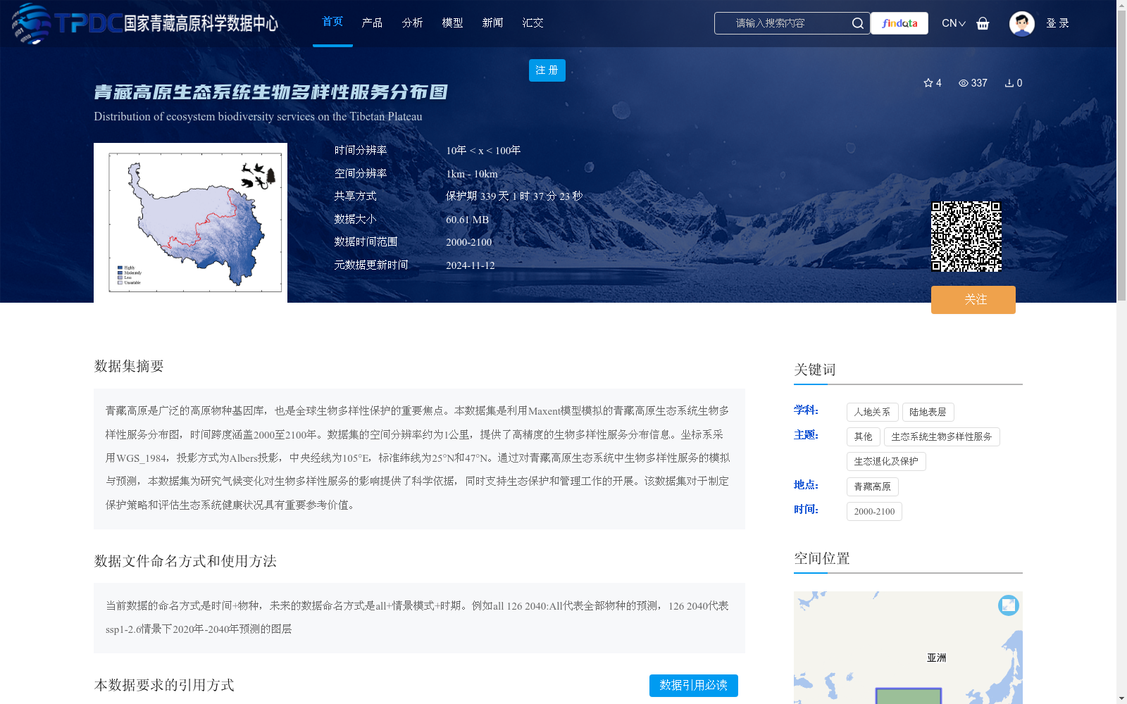
青藏高原是广泛的高原物种基因库,也是全球生物多样性保护的重要焦点。本数据集是利用Maxent模型模拟的青藏高原生态系统生物多样性服务分布图,时间跨度涵盖2000至2100年。数据集的空间分辨率约为1公里,提供了高精度的生物多样性服务分布信息。坐标系采用WGS_1984,投影方式为Albers投影,中央经线为105°E,标准纬线为25°N和47°N。通过对青藏高原生态系统中生物多样性服务的模拟与预测,本数据集为研究气候变化对生物多样性服务的影响提供了科学依据,同时支持生态保护和管理工作的开展。该数据集对于制定保护策略和评估生态系统健康状况具有重要参考价值。
The Qinghai-Tibet Plateau is a vast genetic repository for plateau species and a key priority area for global biodiversity conservation. This dataset presents distribution maps of ecosystem biodiversity services across the Qinghai-Tibet Plateau, simulated via the Maxent model, and spans the period from 2000 to 2100. With a spatial resolution of approximately 1 km, this dataset offers high-precision information on the distribution of biodiversity services. The dataset adopts the WGS_1984 coordinate system, using the Albers projection, with a central meridian of 105°E and standard parallels at 25°N and 47°N. Through the simulation and prediction of biodiversity services in the Qinghai-Tibet Plateau ecosystems, this dataset provides a scientific basis for studying the impacts of climate change on biodiversity services, and supports the implementation of ecological conservation and management efforts. This dataset holds important reference value for formulating conservation strategies and assessing ecosystem health.
提供机构:
李璇,杨延征,郑华
创建时间:
2024-11-12
搜集汇总
数据集介绍
背景与挑战
背景概述
该数据集是利用Maxent模型模拟的青藏高原生态系统生物多样性服务分布图,时间跨度为2000年至2100年,空间分辨率约为1公里,提供了高精度的生物多样性服务预测信息。数据集旨在研究气候变化对生物多样性的影响,支持生态保护和管理工作,具有重要的科学参考价值。
以上内容由遇见数据集搜集并总结生成


