海南一号卫星数据服务
收藏海南省数据产品超市2025-03-26 更新2025-03-27 收录
下载链接:
https://www.datadex.cn/app/buyApi?id=c053e46c9e76435e90ae043fe6cf8db8
下载链接
链接失效反馈官方服务:
资源简介:
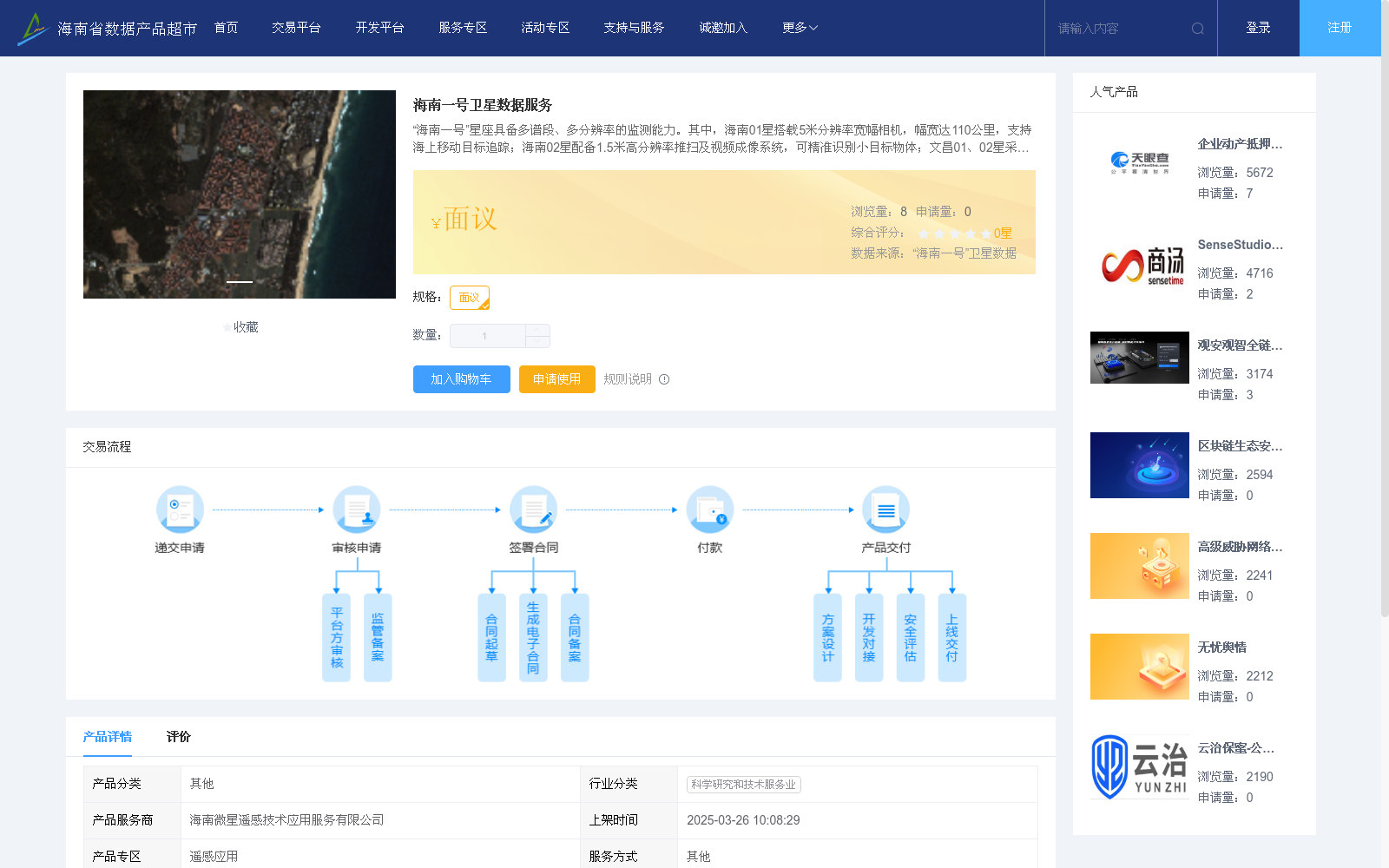
“海南一号”星座具备多谱段、多分辨率的监测能力。其中,海南01星搭载5米分辨率宽幅相机,幅宽达110公里,支持海上移动目标追踪;海南02星配备1.5米高分辨率推扫及视频成像系统,可精准识别小目标物体;文昌01、02星采用全色+八谱段推扫技术,幅宽115公里,服务于自然资源、农业、林业等多领域。全星座数据产品覆盖可见光至近红外谱段,量化等级达10-12bit,空间位置精度优于10米,满足复杂场景的精细化监测需求。在应用服务方面,“海南一号”数据产品已深度赋能环保、农业、林业三大领域。环保监测中,通过裸土扬尘源、建筑垃圾、自然保护区的动态监测,助力大气污染治理与生态执法;农业监测聚焦农作物种植种类识别和永久基本农田“非粮化”监管,为粮食安全提供数据支撑;林业监测结合卫星与无人机技术,实现松材线虫病害大范围筛查与林地资源动态追踪,提升生态保护效率,所有服务均以月度或季度为频次更新。
The "Hainan-1" Constellation features multi-spectral and multi-resolution monitoring capabilities. Specifically, the Hainan-01 Satellite is equipped with a 5-meter-resolution wide-swath camera, which has a 110 km swath width and supports marine moving target tracking. The Hainan-02 Satellite is fitted with a 1.5-meter high-resolution pushbroom and video imaging system, enabling accurate identification of small targets. The Wenchang-01 and Wenchang-02 Satellites adopt panchromatic + 8-band pushbroom technology, with a 115 km swath width, serving sectors including natural resources, agriculture and forestry. Data products of the entire constellation cover visible to near-infrared spectral bands, with a quantization level of 10–12 bits and spatial position accuracy better than 10 meters, meeting the refined monitoring requirements for complex scenarios. In terms of application services, the data products of the "Hainan-1" Constellation have deeply empowered three major sectors: environmental protection, agriculture and forestry. For environmental monitoring, dynamic monitoring of bare soil dust sources, construction waste and nature reserves is conducted to support air pollution control and ecological law enforcement. Agricultural monitoring focuses on crop type identification and supervision of "non-grain conversion" in permanently designated basic farmland, providing data support for food security. Forestry monitoring combines satellite and unmanned aerial vehicle (UAV) technologies to achieve large-scale screening of pine wilt disease and dynamic tracking of forest land resources, enhancing ecological protection efficiency. All services are updated on a monthly or quarterly basis.
提供机构:
海南微星遥感技术应用服务有限公司
创建时间:
2025-03-26
搜集汇总
数据集介绍
以上内容由遇见数据集搜集并总结生成


