中蒙俄经济走廊交通及管线数据集(Arcgis 10.2,1990-2020)
收藏国家青藏高原科学数据中心2022-04-21 更新2024-03-01 收录
下载链接:
https://data.tpdc.ac.cn/zh-hans/data/2492f122-7a99-4ee0-8abb-f4e48a120efd
下载链接
链接失效反馈官方服务:
资源简介:
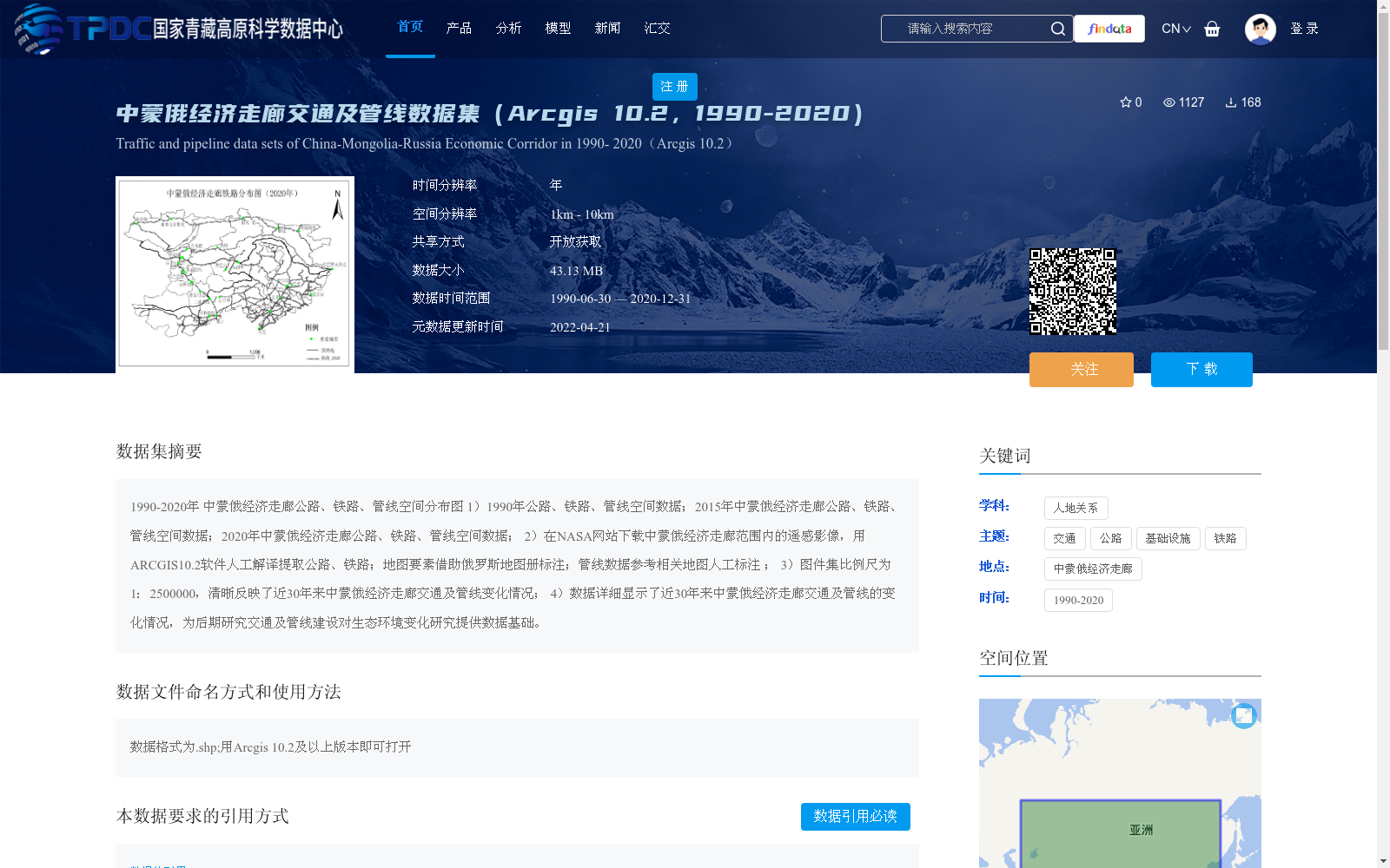
1990-2020年 中蒙俄经济走廊公路、铁路、管线空间分布图
1)1990年公路、铁路、管线空间数据;2015年中蒙俄经济走廊公路、铁路、管线空间数据;2020年中蒙俄经济走廊公路、铁路、管线空间数据;
2)在NASA网站下载中蒙俄经济走廊范围内的遥感影像,用ARCGIS10.2软件人工解译提取公路、铁路;地图要素借助俄罗斯地图册标注;管线数据参考相关地图人工标注 ;
3)图件集比例尺为1:2500000,清晰反映了近30年来中蒙俄经济走廊交通及管线变化情况;
4)数据详细显示了近30年来中蒙俄经济走廊交通及管线的变化情况,为后期研究交通及管线建设对生态环境变化研究提供数据基础。
Spatial Distribution Maps of Roads, Railways and Pipelines within the China-Mongolia-Russia Economic Corridor (1990–2020)
1. Spatial data of roads, railways and pipelines in 1990, 2015 and 2020 within the China-Mongolia-Russia Economic Corridor;
2. Remote sensing images within the scope of the China-Mongolia-Russia Economic Corridor were downloaded from the NASA website, and roads and railways were manually interpreted and extracted using ArcGIS 10.2 software; map elements were annotated with reference to Russian atlases; pipeline data was manually annotated based on relevant maps;
3. The map collection has a scale of 1:2,500,000, which clearly reflects the changes in transportation infrastructure and pipelines of the China-Mongolia-Russia Economic Corridor over the past 30 years;
4. The data details the changes in transportation infrastructure and pipelines of the China-Mongolia-Russia Economic Corridor over the past 30 years, providing a reliable data foundation for subsequent studies on the impacts of transportation and pipeline construction on ecological environmental changes.
提供机构:
卜晓燕
创建时间:
2022-04-18
搜集汇总
数据集介绍
背景与挑战
背景概述
该数据集提供了1990年至2020年间中蒙俄经济走廊的公路、铁路和管线空间分布数据,覆盖三个时间点(1990年、2015年、2020年),空间分辨率为1km-10km,比例尺为1:2500000,数据格式为.shp,需使用Arcgis 10.2及以上版本打开。数据集通过遥感影像人工解译和地图标注生成,旨在清晰展示近30年交通及管线的变化情况,为研究其对生态环境的影响提供基础数据支持。
以上内容由遇见数据集搜集并总结生成


