
Rockfall Activity Rate System Analysis for Scenario Earthquakes in Alaska
收藏DataONE2023-02-24 更新2024-06-08 收录
下载链接:
https://search.dataone.org/view/sha256:c10760e8fe9a2797e4792fb6b4a82b36b4660b97680736dc2ada6c1902689d4e
下载链接
链接失效反馈官方服务:
资源简介:
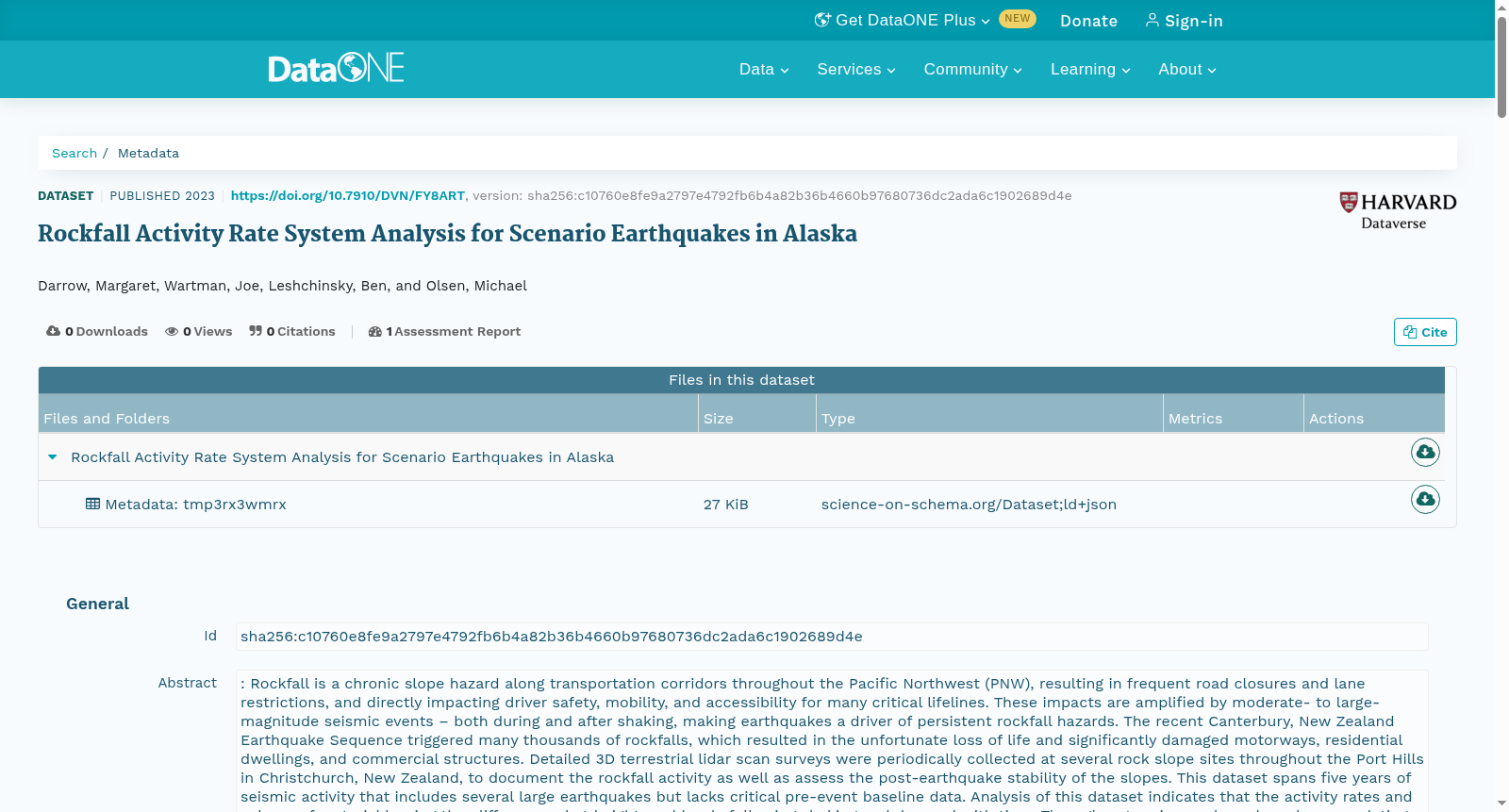
: Rockfall is a chronic slope hazard along transportation corridors throughout the Pacific Northwest (PNW), resulting in frequent road closures and lane restrictions, and directly impacting driver safety, mobility, and accessibility for many critical lifelines. These impacts are amplified by moderate- to large-magnitude seismic events – both during and after shaking, making earthquakes a driver of persistent rockfall hazards. The recent Canterbury, New Zealand Earthquake Sequence triggered many thousands of rockfalls, which resulted in the unfortunate loss of life and significantly damaged motorways, residential dwellings, and commercial structures. Detailed 3D terrestrial lidar scan surveys were periodically collected at several rock slope sites throughout the Port Hills in Christchurch, New Zealand, to document the rockfall activity as well as assess the post-earthquake stability of the slopes. This dataset spans five years of seismic activity that includes several large earthquakes but lacks critical pre-event baseline data. Analysis of this dataset indicates that the activity rates and volume of material leaving the cliff occurred at heightened levels following shaking and decayed with time. Through regression analyses based on correlating volume loss observed in New Zealand with readily obtainable variables of slope height, slope angle, geomorphic erosion rates, and peak ground acceleration (PGA), a rapid forecasting system called the RoARS was developed by the research team (Olsen et al. 2020, Massey et al. 2022). As an example, RoARS was applied along a highway corridor in Oregon, U.S.A. to predict the potential increases in rockfall activity and volumes resulting from a major earthquake as well as an estimate of the time to return to baseline conditions for rockfall activity. This information was provided in a geographic information system (GIS) framework, which subsequently can be integrated into transportation network analysis to predict the economic and environmental impacts resulting from mobility loss due to partial or full highway closures at these locations due to increased rockfall activity. These data are the analysis results applying the RoARS method to rock slope sites in two Alaskan transportation corridors to evaluate coseismic and post-seismic rockfall hazard at a regional scale, as well as estimate rockfall volumes and associated closure times. We used a rock slope inventory provided by the Alaska Department of Transportation and Public Facilities and maps of predicted ground motions from the Alaska Earthquake Center as input. Additional slope metrics were extracted from public lidar data. Table 1 summarizes the scenarios analyzed as well as the scenario codes (e.g., LL71). These data consist of a GIS geodatabase containing a point feature for each scenario. Substantial uncertainty exists in the data given they are scenario events; however, this database and model creation explores a new avenue for decision-makers to evaluate potential rockfall scenarios considering seismic disturbance, and consequently, plan accordingly for closures and restoration of mobility following shaking.
落石(Rockfall)是贯穿美国太平洋西北地区(PNW)沿线交通廊道的一种慢性斜坡灾害,时常引发道路封闭与车道管制,直接威胁驾驶员安全,并对诸多关键生命线的通行能力与可达性造成严重影响。中至大地震级别的地震事件会加剧这些影响——无论是在地震晃动过程中还是晃动之后,使得地震成为持续落石灾害的重要诱因。
此前的新西兰坎特伯雷地震序列就引发了数千起落石事件,造成了不幸的人员伤亡,并严重损毁了高速公路、住宅与商业建筑。为记录落石活动并评估地震后斜坡的稳定性,研究团队在新西兰基督城港丘(Port Hills)的多处岩质斜坡场地定期开展了详细的三维地面激光雷达(terrestrial lidar)扫描勘测。
本数据集涵盖了五年的地震活动记录,包含多起大型地震,但缺乏关键的震前基准数据。
对该数据集的分析显示,地震晃动后,落石活动速率与脱离崖壁的碎屑体量均处于升高水平,并随时间推移逐渐衰减。研究团队基于新西兰观测到的碎屑体量损失与易于获取的斜坡高度、斜坡角度、地貌侵蚀速率以及地面峰值加速度(PGA, peak ground acceleration)等变量之间的相关性开展回归分析,开发了名为RoARS的快速预测系统(Olsen等,2020;Massey等,2022)。
例如,研究团队将RoARS应用于美国俄勒冈州的一处高速公路廊道,用于预测大地震引发的落石活动与落石体量的潜在增幅,并估算落石活动恢复至基准状态所需的时间。该预测结果以地理信息系统(GIS, geographic information system)框架的形式输出,后续可集成至交通网络分析中,用于评估因落石活动加剧导致部分或全线公路封闭、通行能力丧失所引发的经济与环境影响。
本数据集为将RoARS方法应用于阿拉斯加两处交通廊道的岩质斜坡场地的分析结果,用于在区域尺度评估同震及震后落石灾害,并估算落石体量与对应的封闭时长。
研究团队以阿拉斯加州交通运输与公共设施部提供的岩质斜坡清单,以及阿拉斯加地震中心发布的预测地面运动地图作为输入数据,并从公开激光雷达数据中提取了额外的斜坡指标。
表1汇总了本次分析的场景及其场景代码(例如LL71)。
本数据集由地理信息系统地理数据库(GIS geodatabase)构成,其中包含每个场景对应的点要素。
由于本数据集基于场景事件构建,因此存在显著的不确定性;但该数据库与模型的构建为决策者提供了一种新的途径,使其能够在考虑地震扰动的前提下评估潜在落石场景,并据此规划地震晃动后的道路封闭与通行恢复工作。
创建时间:
2023-11-08
搜集汇总
数据集介绍
以上内容由遇见数据集搜集并总结生成



