青藏高原2017年冰川数据-TPG2017(V1.0)
收藏资源简介:
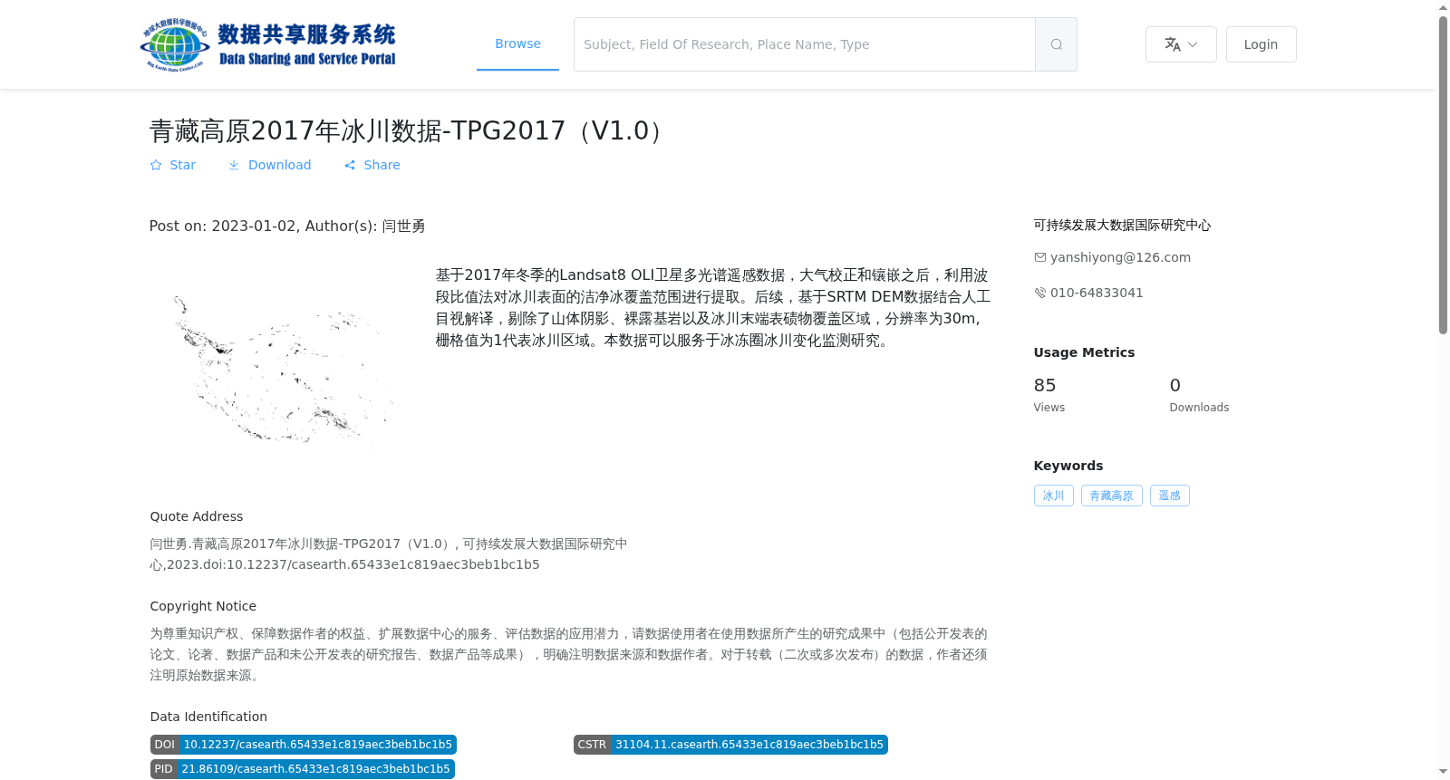
基于2017年冬季的Landsat8 OLI卫星多光谱遥感数据,大气校正和镶嵌之后,利用波段比值法对冰川表面的洁净冰覆盖范围进行提取。后续,基于SRTM DEM数据结合人工目视解译,剔除了山体阴影、裸露基岩以及冰川末端表碛物覆盖区域,分辨率为30m, 栅格值为1代表冰川区域。本数据可以服务于冰冻圈冰川变化监测研究。
This dataset is developed based on Landsat 8 OLI multispectral remote sensing data collected in the winter of 2017. After atmospheric correction and mosaic processing, the clean ice coverage on glacier surfaces was extracted using the band ratio method. Subsequently, topographic shadows, bare bedrock, and debris-covered areas at the glacier termini were excluded via manual visual interpretation combined with SRTM DEM data. This dataset has a spatial resolution of 30 m, where a raster value of 1 represents glacier-covered regions. It can support cryospheric glacier change monitoring research.