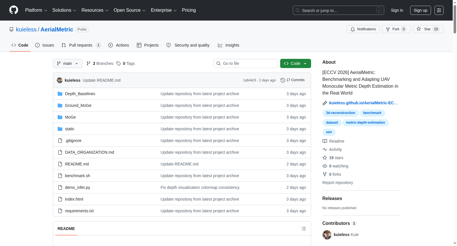
AerialMetric
收藏资源简介:
AerialMetric是一个真实世界的无人机单目度量深度基准,涵盖倾斜摄影测量、受控航空变量、野外无人机视频,并适配了MoGe-2基线。
AerialMetric is a real-world monocular metric depth benchmark for unmanned aerial vehicles (UAVs), covering oblique photogrammetry, controlled aerial variables, and field UAV videos, and is compatible with the MoGe-2 baseline.
数据集概述
AerialMetric 是一个面向真实世界无人机(UAV)单目度量深度估计的基准数据集,已被 ECCV 2026 接收。
核心内容
- 覆盖倾斜摄影测量、受控航空变量、野外无人机视频等多种场景。
- 提供了针对 MoGe-2 模型的适应基线(AerialMetric LoRA 类型)。
数据集组成
数据集的组成包括Decoupled、Oblique、Wild等子集。
资源链接
- 数据集与权重: Kuiee/AerialMetric-ECCV2026
- 模型权重:
- MoGe2 基线: MoGe-2 ViT-Large
- AerialMetric LoRA: AerialMetric-ECCV2026
基准测试
项目提供三个基准测试入口:
MoGe/: 针对 MoGe2 和 AerialMetric 的航空基准。Ground_MoGe/: 针对 MoGe2 和 AerialMetric 的地面基准。Depth_Baselines/: 针对 UniDepth、DepthPro、ZoeDepth 的地面基准封装。
环境配置
bash conda create -n mogefresh3 python=3.10 -y conda activate mogefresh3 pip install torch torchvision --index-url https://download.pytorch.org/whl/cu124 pip install -r requirements.txt pip install -e MoGe/
复现实验
编辑 benchmark.sh 中的路径后运行:
bash
4 张 GPU 并行(推荐)
bash benchmark.sh 0,1,2,3
单 GPU
bash benchmark.sh 0
实验包含四种配置,覆盖航空场景和地面场景,评估基线模型与 AerialMetric LoRA 模型。
快速推理
支持单张图像、视频、文件夹的推理,提供丰富的参数配置,如模型选择(基线与 LoRA)、分辨率、精度等级、FOV 覆盖、可视化选项等。
致谢
数据集利用了多个公开数据集及工具,包括:
- 模型与工具: MoGe-2、UniDepthV2、DJI Terra、Unreal Engine 4.27、AirSim、Cesium for Unreal、Google Earth Studio、Google Earth Pro、Gemini、Depth Anything 3。
- 数据源: GauU-Scene、UrbanBIS、UrbanScene3D、UAVScenes、OpenDroneMap、ArcGIS Drone2Map。
引用
bibtex @inproceedings{song2026aerialmetric, title = {AerialMetric: Benchmarking and Adapting UAV Monocular Metric Depth Estimation in the Real World}, author = {Zhongqiang Song and Guanying Chen and Yuqi Zhang and Yin Zou and Chuanyu Fu and Zhiyuan Yuan and Chuan Huang and Shuguang Cui and Xiaochun Cao}, booktitle = {European Conference on Computer Vision (ECCV)}, year = {2026} }