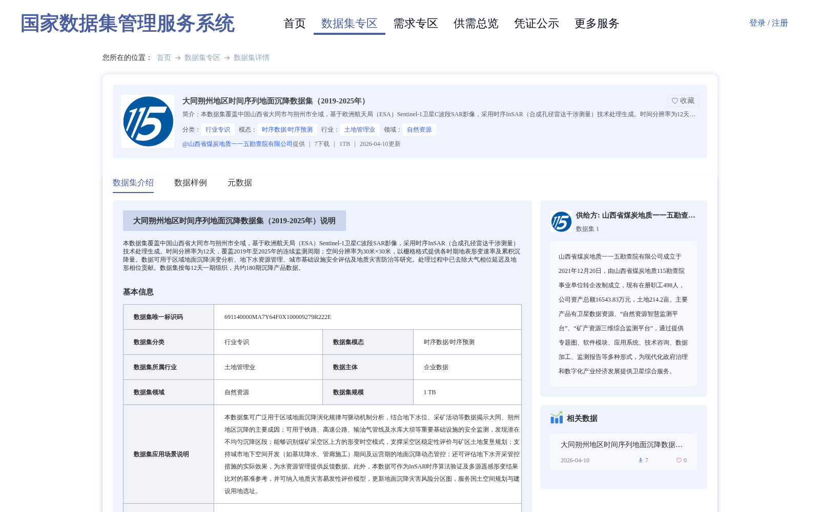
大同朔州地区时间序列地面沉降数据集(2019-2025年)
收藏国家数据集管理服务平台2026-04-10 更新2026-04-29 收录
下载链接:
https://www.ndsms.cn/dataRetrieval/datasetDetail/?id=9b744dea2563f9c497d673e332f72604
下载链接
链接失效反馈官方服务:
资源简介:
本数据集覆盖中国山西省大同市与朔州市全域,基于欧洲航天局(ESA)Sentinel-1卫星C波段SAR影像,采用时序InSAR(合成孔径雷达干涉测量)技术处理生成。时间分辨率为12天,覆盖2019年至2025年的连续监测周期;空间分辨率为30米×30米,以栅格格式提供各时期地表形变速率及累积沉降量。数据可用于区域地面沉降演变分析、地下水资源管理、城市基础设施安全评估及地质灾害防治等研究。处理过程中已去除大气相位延迟及地形相位贡献。数据集按每12天一期组织,共约180期沉降产品数据。
This dataset covers the entire administrative regions of Datong City and Shuozhou City, Shanxi Province, China. It is generated based on C-band SAR images from the European Space Agency (ESA) Sentinel-1 satellites, processed using time-series Interferometric Synthetic Aperture Radar (InSAR) technology. It has a temporal resolution of 12 days and covers a continuous monitoring period from 2019 to 2025, with a spatial resolution of 30 m × 30 m. The dataset provides surface deformation rates and cumulative subsidence volumes for each period in raster format. Atmospheric phase delays and topographic phase contributions have been removed during the data processing. The dataset is organized into approximately 180 sets of subsidence product data, with one set released every 12 days. The data can be applied to researches including regional land subsidence evolution analysis, groundwater resource management, urban infrastructure safety assessment, and geological disaster prevention and control.
提供机构:
山西省煤炭地质一一五勘查院有限公司
创建时间:
2026-04-10
搜集汇总
数据集介绍
背景与挑战
背景概述
该数据集覆盖山西省大同市与朔州市全域,基于Sentinel-1卫星影像和时序InSAR技术生成,时间跨度为2019年至2025年,以12天为周期提供地面沉降监测数据。数据空间分辨率为30米,包含地表形变速率和累积沉降量,适用于地质灾害防治、基础设施安全评估等研究领域。
以上内容由遇见数据集搜集并总结生成


