横断山区1:20万地层岩性(2000-2014)
收藏国家青藏高原科学数据中心2025-02-17 更新2025-04-12 收录
下载链接:
https://data.tpdc.ac.cn/zh-hans/data/1fe11c0c-c914-440e-b0c0-9eeb2bbcce83
下载链接
链接失效反馈官方服务:
资源简介:
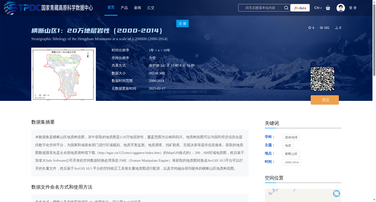
本数据集是横断山区地质构造图,其中获取的地质图是1:20万地层岩性,覆盖范围为云南和四川。地质构造图可以为国民经济信息化提供数字化空间平台,为国家和省级各部门进行区域规划、地质灾害监测、地质调查、找矿勘查、宏观决策等提供信息服务。获取的地质图数据源首先是从全国地质资料馆下载(http://ngac.cn/125cms/c/qggnew/index.htm)的MapGIS格式的1:200,000区域地质图,然后基于加拿大Safe Software公司开发的空间数据转换处理系统 FME(Feature Manipulate Engine)将获取的地质图转换成ArcGIS 10.5平台可以打开的矢量文件,然后基于ArcGIS 10.5 平台的空间校正工具将矢量地质图进行配准,以及空间融合得到最终的横断山区地质构造图。
This dataset is a geological structure map of the Hengduan Mountains. The acquired geological map is a 1:200,000 scale stratigraphic and lithologic map, covering Yunnan and Sichuan provinces. This geological structure map can provide a digital spatial platform for the informatization of the national economy, and offer information services for national and provincial departments in regional planning, geological disaster monitoring, geological survey, mineral prospecting, macro decision-making and other related work. The source of the acquired geological map is firstly the 1:200,000 scale regional geological map in MapGIS format downloaded from the China National Geological Archives (http://ngac.cn/125cms/c/qggnew/index.htm). Subsequently, the acquired geological map is converted into vector files compatible with the ArcGIS 10.5 platform using FME (Feature Manipulate Engine), a spatial data conversion and processing system developed by Safe Software Inc. of Canada. Finally, the vector geological map is registered and spatially fused via the spatial correction tool of the ArcGIS 10.5 platform to obtain the final geological structure map of the Hengduan Mountains.
提供机构:
邱海军
创建时间:
2025-01-07
搜集汇总
数据集介绍
背景与挑战
背景概述
该数据集是横断山区1:20万比例尺的地层岩性数据,覆盖云南和四川地区,时间跨度为2000-2014年。数据来源于全国地质资料馆,经过格式转换和空间校正处理,适用于ArcGIS平台,主要用于区域规划、地质灾害监测等地质调查工作。
以上内容由遇见数据集搜集并总结生成


