黑龙江省大庆市30m分辨率秸秆覆盖度遥感反演数据集(2021年)
收藏国家地球系统科学数据中心2024-11-27 更新2024-11-16 收录
下载链接:
https://www.geodata.cn/data/datadetails.html?dataguid=78695487453449&docId=2133
下载链接
链接失效反馈官方服务:
资源简介:
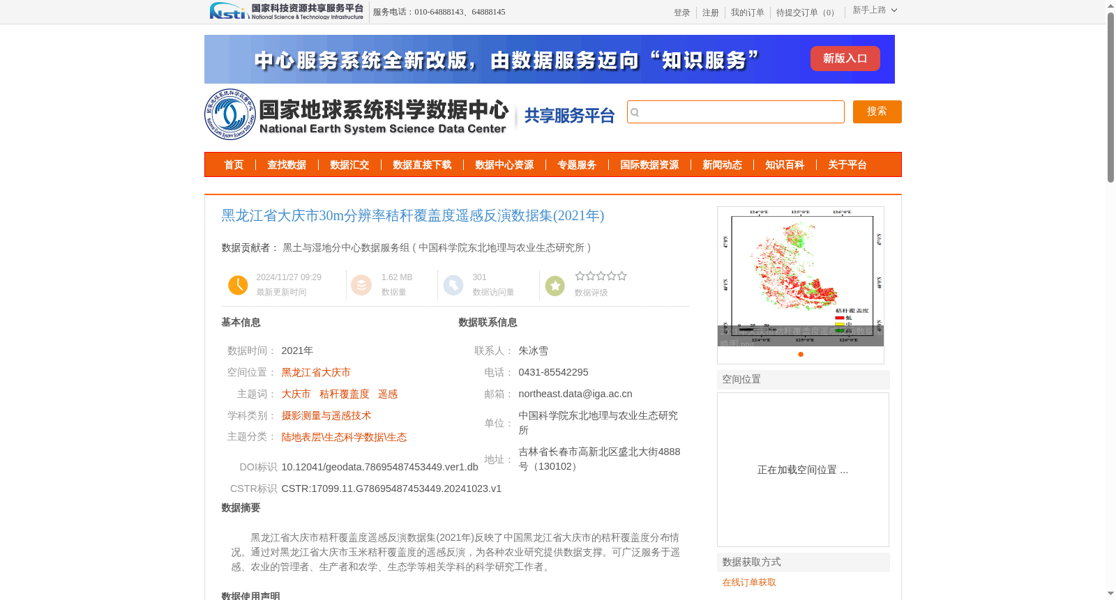
黑龙江省大庆市秸秆覆盖度遥感反演数据集(2021年)反映了中国黑龙江省大庆市的秸秆覆盖度分布情况。通过对黑龙江省大庆市玉米秸秆覆盖度的遥感反演,为各种农业研究提供数据支撑。可广泛服务于遥感、农业的管理者、生产者和农学、生态学等相关学科的科学研究工作者。
Remote Sensing Retrieval Dataset of Straw Coverage in Daqing City, Heilongjiang Province (2021) reflects the spatial distribution of straw coverage in Daqing City, Heilongjiang Province, China. Developed through remote sensing retrieval of corn straw coverage in Daqing City, Heilongjiang Province, this dataset provides data support for various agricultural research works. It can be widely utilized to serve managers and practitioners in the fields of remote sensing and agriculture, as well as scientific researchers from related disciplines such as agronomy and ecology.
提供机构:
中国科学院东北地理与农业生态研究所
创建时间:
2024-10-23
搜集汇总
数据集介绍
背景与挑战
背景概述
该数据集为2021年黑龙江省大庆市30米分辨率的秸秆覆盖度遥感反演数据,基于Sentinel-2影像构建,验证精度达86.3%,适用于农业管理和生态研究。
以上内容由遇见数据集搜集并总结生成


