黑河流域历史时期垦殖绿洲空间分布数据集
收藏国家青藏高原科学数据中心2021-04-20 更新2024-03-01 收录
下载链接:
https://data.tpdc.ac.cn/zh-hans/data/64f7c813-9acb-4a03-91a9-ec9e558e9c0e
下载链接
链接失效反馈官方服务:
资源简介:
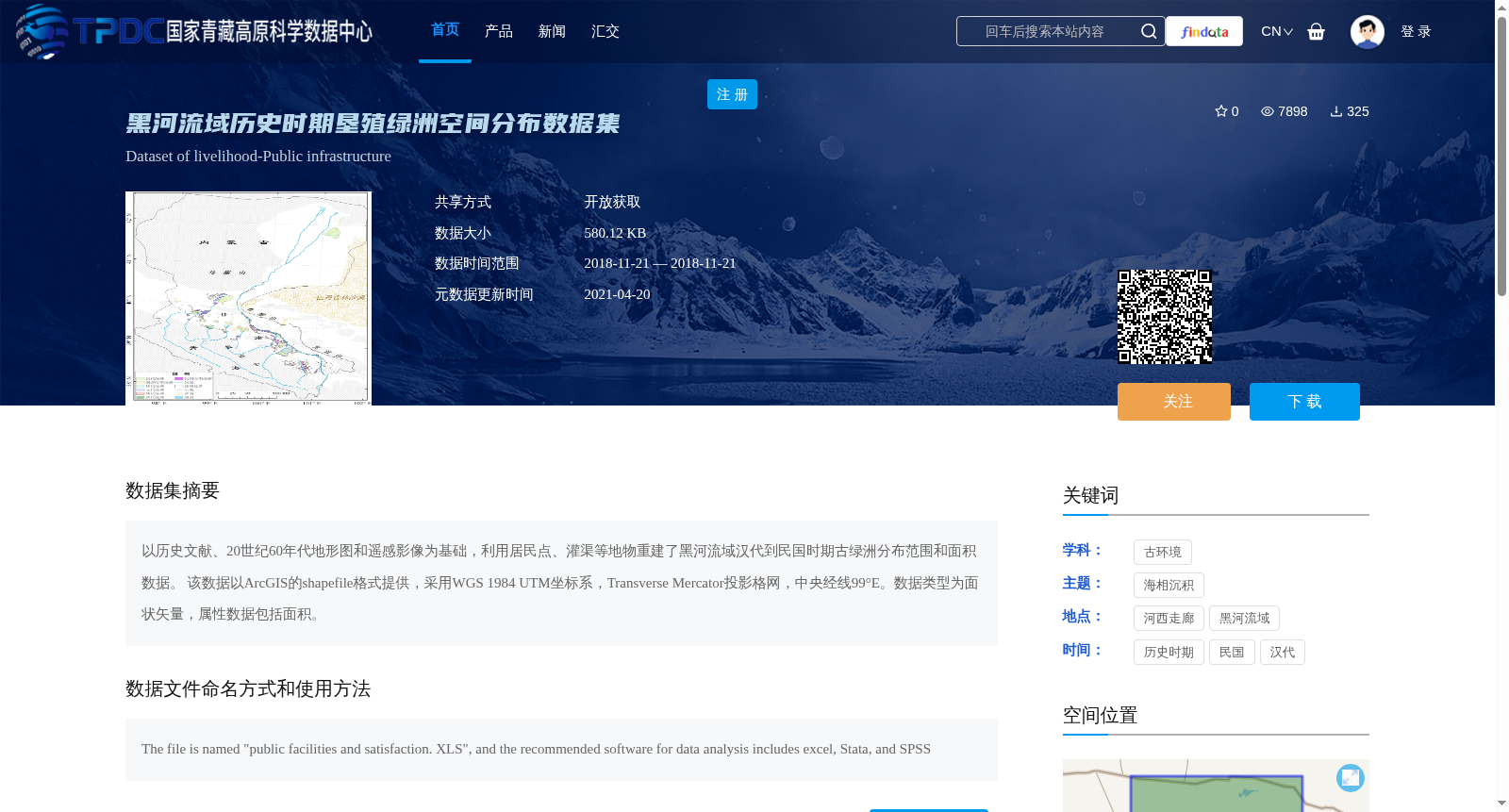
以历史文献、20世纪60年代地形图和遥感影像为基础,利用居民点、灌渠等地物重建了黑河流域汉代到民国时期古绿洲分布范围和面积数据。
该数据以ArcGIS的shapefile格式提供,采用WGS 1984 UTM坐标系,Transverse Mercator投影格网,中央经线99°E。数据类型为面状矢量,属性数据包括面积。
Based on historical documents, topographic maps from the 1960s, and remote sensing images, this dataset reconstructs the distribution extent and area data of ancient oases in the Heihe River Basin spanning from the Han Dynasty to the Republic of China period, using ground features such as settlements and irrigation canals as references.
This dataset is provided in ArcGIS shapefile format, adopting the WGS 1984 UTM coordinate system with a Transverse Mercator projection grid and a central meridian at 99°E. It is polygon vector data, and its attribute data includes the area attribute.
提供机构:
颉耀文
创建时间:
2013-08-01
搜集汇总
数据集介绍
背景与挑战
背景概述
该数据集提供了黑河流域从汉代到民国时期的历史垦殖绿洲空间分布数据,以ArcGIS shapefile格式存储,采用WGS 1984 UTM坐标系,包含绿洲分布范围和面积属性。数据基于历史文献、地形图和遥感影像重建,适用于古环境研究和历史地理分析,覆盖河西走廊地区,时间跨度长且空间精度较高。
以上内容由遇见数据集搜集并总结生成


