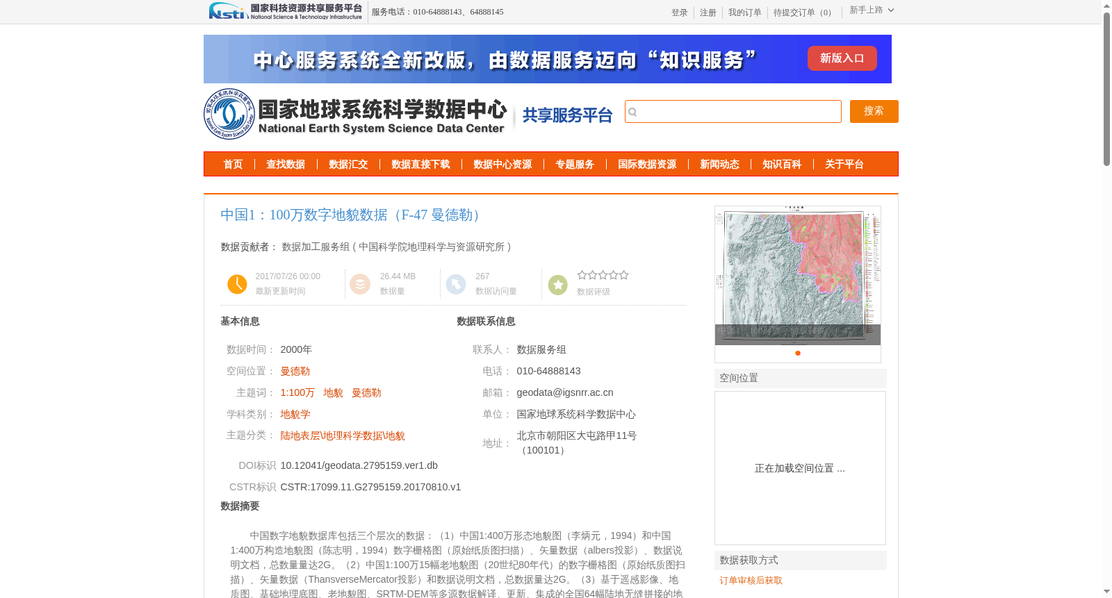
中国1:100万数字地貌数据(F-47 曼德勒)
收藏国家地球系统科学数据中心2017-07-26 更新2024-03-04 收录
下载链接:
https://www.geodata.cn/data/datadetails.html?dataguid=2795159&docId=26957
下载链接
链接失效反馈官方服务:
资源简介:
中国数字地貌数据库包括三个层次的数据:(1)中国1:400万形态地貌图(李炳元,1994)和中国1:400万构造地貌图(陈志明,1994)数字栅格图(原始纸质图扫描)、矢量数据(albers投影)、数据说明文档,总数量量达2G。(2)中国1:100万15幅老地貌图(20世纪80年代)的数字栅格图(原始纸质图扫描)、矢量数据(ThansverseMercator投影)和数据说明文档,总数据量达2G。(3)基于遥感影像、地质图、基础地理底图、老地貌图、SRTM-DEM等多源数据解译、更新、集成的全国64幅陆地无缝拼接的地貌数据,以100万标准分幅方式存储,ThansverseMercator投影,数据量达2G以上。以及中国1:100万数字地貌分类体系及中国数字地貌遥感解译技术规程等说明文档。
The China Digital Geomorphology Database includes three tiers of data: 1. Digital raster maps (scanned from original paper maps), vector data (Albers projection), and data documentation for the 1:4,000,000 Chinese morphologic geomorphology map (Li Bingyuan, 1994) and 1:4,000,000 Chinese tectonic geomorphology map (Chen Zhiming, 1994), with a total data volume of 2 gigabytes. 2. Digital raster maps (scanned from original paper maps), vector data (Transverse Mercator projection), and data documentation for 15 pieces of 1:1,000,000 vintage geomorphology maps (from the 1980s) across China, with a total data volume of 2 gigabytes. 3. Nationwide 64-sheet land seamless mosaic geomorphology data interpreted, updated and integrated from multi-source data including remote sensing imagery, geological maps, basic geographic base maps, vintage geomorphology maps and SRTM-DEM. The data is stored in the 1:1,000,000 standard sheet division format with Transverse Mercator projection, with a total data volume of over 2 gigabytes. Additionally, supporting documentation such as the China 1:1,000,000 Digital Geomorphology Classification System and the Technical Regulations for Remote Sensing Interpretation of China Digital Geomorphology are also provided.
提供机构:
中国科学院地理科学与资源研究所
创建时间:
2017-08-10
搜集汇总
数据集介绍
背景与挑战
背景概述
该数据集是中国1:100万数字地貌数据的一部分,覆盖曼德勒地区,基于多源数据解译和集成,适用于地貌学研究。数据使用需遵守严格的引用和致谢规范,仅限于科学研究用途。
以上内容由遇见数据集搜集并总结生成


