朝连岛至射阳河口电子海图(2021年)
收藏国家地球系统科学数据中心2023-05-06 更新2024-04-21 收录
下载链接:
https://www.geodata.cn/data/datadetails.html?dataguid=36400814558355&docId=5564
下载链接
链接失效反馈官方服务:
资源简介:
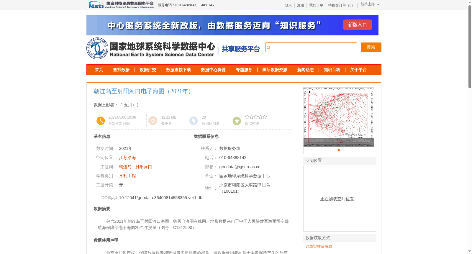
包含2021年朝连岛至射阳河口海图,购买自海图在线网。地形数据来自于中国人民解放军海军司令部航海保障部电子海图2021年测量(图号:C1312500)
This dataset contains nautical charts spanning from Chaolian Island to Sheyang Estuary, dated 2021 and purchased from Hai Chart Online. Its topographic data is sourced from the 2021 electronic nautical chart survey conducted by the Navigational Support Department of the Chinese People's Liberation Army Navy Headquarters, with the chart number C1312500.
创建时间:
2023-05-06
搜集汇总
数据集介绍
背景与挑战
背景概述
该数据集是2021年朝连岛至射阳河口区域的电子海图,数据来源于中国人民解放军海军司令部航海保障部的测量成果,主要用于江苏沿海的水利工程等相关研究。数据集为购买自权威机构的专业海图,经过人工抽样校核确保准确性。
以上内容由遇见数据集搜集并总结生成


