青海省县域行政区划(1992-2016)
收藏国家青藏高原科学数据中心2021-04-19 更新2024-03-06 收录
下载链接:
https://data.tpdc.ac.cn/zh-hans/data/078ff3c3-af70-463b-b2b7-53dbfe43d954
下载链接
链接失效反馈官方服务:
资源简介:
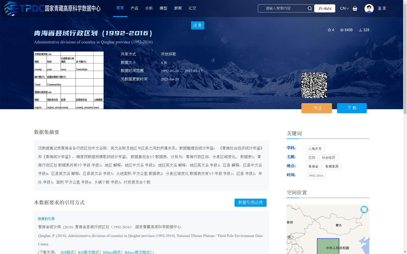
该数据集记录青海省各行政区划中文名称,英文名称及地区与区县之间的所属关系。数据整理自统计年鉴: 《青海社会经济统计年鉴》和《青海统计年鉴》,精度同数据所摘取的统计年鉴。
数据集包含2个数据表,分别为:青海行政区划,分县区域变化。
数据表1:青海行政区划 数据表共有5个字段
字段1:地区 解释:地区中文名
字段2:地区英文名 解释:地区英文名
字段3:区县 解释:区县中文名
字段4:区县英文名 解释:区县英文名
字段5:土地面积 平方公里
数据表2:分县区域变化 数据表共有5个字段
字段1:区县
字段2:年份
字段3:面积 平方公里
字段4:乡镇个数
字段5:村民委员会个数
This dataset records the Chinese and English names of all administrative divisions in Qinghai Province, as well as the hierarchical affiliation between prefecture-level regions and their subordinate districts or counties. The data is compiled from two statistical yearbooks: *Qinghai Social and Economic Statistical Yearbook* and *Qinghai Statistical Yearbook*, with accuracy consistent with that of the source yearbooks.
The dataset includes two data tables, namely: Qinghai Administrative Divisions and Changes in County-level Regional Divisions.
Table 1: Qinghai Administrative Divisions
This table contains 5 fields:
1. Region: Chinese name of the prefecture-level region
2. Region English Name: English name of the prefecture-level region
3. District/County: Chinese name of the district or county
4. District/County English Name: English name of the district or county
5. Land Area (square kilometers)
Table 2: Changes in County-level Regional Divisions
This table includes 5 fields:
1. District/County
2. Year
3. Area (square kilometers)
4. Number of Townships
5. Number of Village Committees
提供机构:
青海省统计局
创建时间:
2018-07-28
搜集汇总
数据集介绍
背景与挑战
背景概述
该数据集记录了青海省1992年至2016年间的县域行政区划信息,包括地区与区县的中英文名称、所属关系以及土地面积等静态数据,同时提供了分县区域变化数据,涵盖面积、乡镇个数和村民委员会个数等动态指标。数据来源于《青海社会经济统计年鉴》和《青海统计年鉴》,精度与原始年鉴一致,适用于人地关系和社会经济研究,具有明确的时间跨度和空间范围(覆盖青海省全境)。
以上内容由遇见数据集搜集并总结生成


