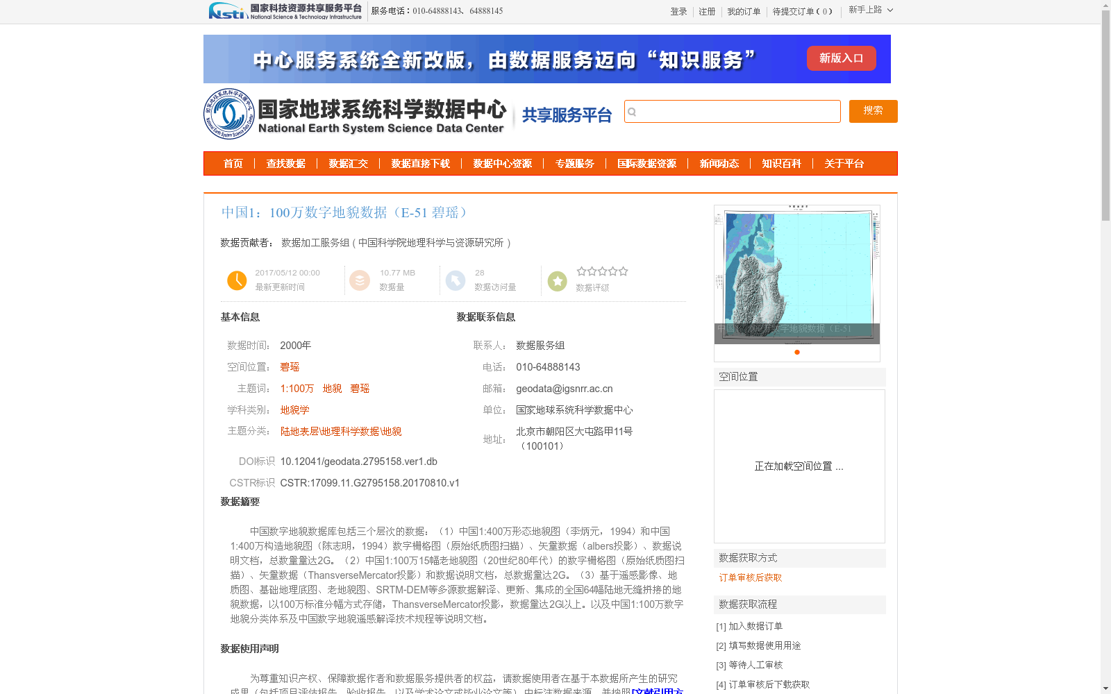
中国1:100万数字地貌数据(E-51 碧瑶)
收藏国家地球系统科学数据中心2017-05-12 更新2024-03-04 收录
下载链接:
https://www.geodata.cn/data/datadetails.html?dataguid=2795158&docId=28611
下载链接
链接失效反馈官方服务:
资源简介:
中国数字地貌数据库包括三个层次的数据:(1)中国1:400万形态地貌图(李炳元,1994)和中国1:400万构造地貌图(陈志明,1994)数字栅格图(原始纸质图扫描)、矢量数据(albers投影)、数据说明文档,总数量量达2G。(2)中国1:100万15幅老地貌图(20世纪80年代)的数字栅格图(原始纸质图扫描)、矢量数据(ThansverseMercator投影)和数据说明文档,总数据量达2G。(3)基于遥感影像、地质图、基础地理底图、老地貌图、SRTM-DEM等多源数据解译、更新、集成的全国64幅陆地无缝拼接的地貌数据,以100万标准分幅方式存储,ThansverseMercator投影,数据量达2G以上。以及中国1:100万数字地貌分类体系及中国数字地貌遥感解译技术规程等说明文档。
The China Digital Geomorphology Database includes three tiers of data:
(1) Digital raster graphics (scanned from original paper maps), vector data (in Albers projection), and data documentation for the 1:4,000,000-scale Chinese morphological geomorphic map (compiled by Li Bingyuan, 1994) and 1:4,000,000-scale Chinese tectonic geomorphic map (compiled by Chen Zhiming, 1994), with a total data volume of 2 GB.
(2) Digital raster graphics (scanned from original paper maps), vector data (in Transverse Mercator projection), and data documentation for 15 sets of 1:1,000,000-scale old Chinese geomorphic maps from the 1980s, with a total data volume of 2 GB.
(3) Seamlessly mosaicked national terrestrial geomorphic data consisting of 64 sheets, stored in 1:1,000,000-scale standard map sheet divisions and projected in Transverse Mercator. This dataset was interpreted, updated and integrated using multi-source data including remote sensing imagery, geological maps, fundamental geographic base maps, old geomorphic maps, SRTM-DEM and other relevant data, with a total data volume of over 2 GB.
Additionally, supporting documents such as the China 1:1,000,000-scale Digital Geomorphology Classification System and the Technical Specifications for Remote Sensing Interpretation of China Digital Geomorphology are also included.
提供机构:
中国科学院地理科学与资源研究所
创建时间:
2017-08-10
搜集汇总
数据集介绍
背景与挑战
背景概述
该数据集是中国1:100万数字地貌数据库的一部分,专门针对碧瑶区域(E-51图幅),基于2000年的多源数据(如Landsat TM/ETM遥感影像、SRTM高程数据、地质图等)进行解译和集成,采用Thansverse Mercator投影和分层分级方法,按照形态成因类型和形态结构类型组织地貌信息。数据质量较高,解译比例尺为1:10万,遥感定性判读准确率不低于95%,最小图斑面积为1.5km²,适用于地貌学研究和地理科学数据分析。
以上内容由遇见数据集搜集并总结生成


