北京市30m土地覆被耕地类型数据(2010年)
收藏国家地球系统科学数据中心2017-11-03 更新2024-03-04 收录
下载链接:
https://www.geodata.cn/data/datadetails.html?dataguid=4234980&docId=26172
下载链接
链接失效反馈官方服务:
资源简介:
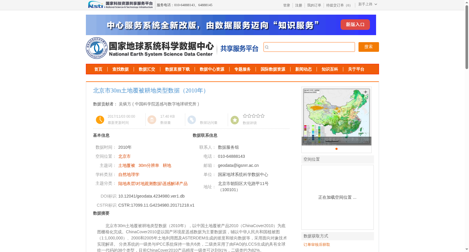
北京市30m土地覆被耕地类型数据(2010年),以中国土地覆被产品2010(ChinaCover2010)为底图栅格化完成。ChinaCover2010是以国产环境星遥感数据为主要数据源,辅以中华人民共和国植被图(1:1,000,000)、2000和2005年土地利用图及ASTERDEM生成的坡度和坡向数据等,采用面向对象技术实现解译。
分类系统的一级类与IPCC系统保持一致共6类,二级类采用了由FAO的LCCS生成的具有全球统一代码的38个类型,目前ChinaCover2010产品精度一级类可达到91%,二级类约为82%。
The 30 m spatial resolution cropland-type land cover dataset of Beijing Municipality (2010) was generated by rasterizing the ChinaCover2010 product as the base map.
ChinaCover2010 takes domestic Huanjing satellite remote sensing data as its primary data source, supplemented by the Vegetation Map of the People's Republic of China (1:1,000,000), land use maps from 2000 and 2005, slope and aspect data derived from ASTER DEM, and other auxiliary geospatial datasets. It was produced via object-oriented image interpretation.
The first-level classification categories of ChinaCover2010 are consistent with the IPCC classification system, with a total of 6 types. The second-level categories consist of 38 types with globally uniform codes developed based on FAO's Land Cover Classification System (LCCS). Currently, the overall classification accuracy of the first-level categories of the ChinaCover2010 product reaches 91%, while that of the second-level categories is approximately 82%.
提供机构:
中国科学院遥感与数字地球研究所
创建时间:
2017-12-18
搜集汇总
数据集介绍
背景与挑战
背景概述
该数据集为2010年北京市30米分辨率的土地覆被耕地类型数据,基于国产环境星遥感数据等多元数据源,采用面向对象技术解译完成,分类精度一级类达91%、二级类82%,适用于土地覆被相关研究。
以上内容由遇见数据集搜集并总结生成


