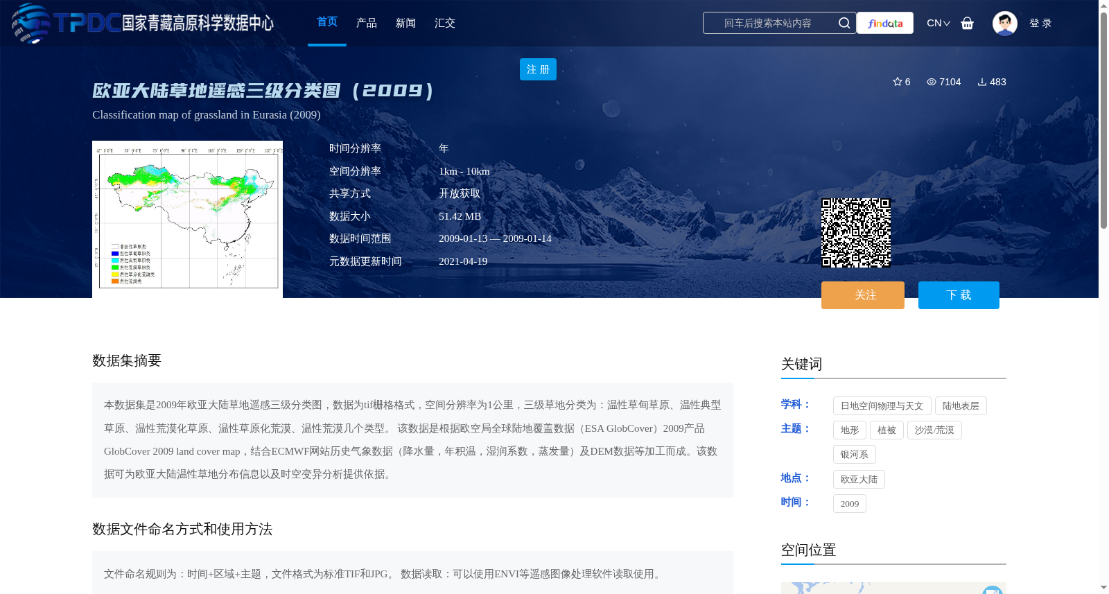
欧亚大陆草地遥感三级分类图(2009)
收藏资源简介:
本数据集是2009年欧亚大陆草地遥感三级分类图,数据为tif栅格格式,空间分辨率为1公里,三级草地分类为:温性草甸草原、温性典型草原、温性荒漠化草原、温性草原化荒漠、温性荒漠几个类型。 该数据是根据欧空局全球陆地覆盖数据(ESA GlobCover)2009产品GlobCover 2009 land cover map,结合ECMWF网站历史气象数据(降水量,年积温,湿润系数,蒸发量)及DEM数据等加工而成。该数据可为欧亚大陆温性草地分布信息以及时空变异分析提供依据。
This dataset is a 2009 three-level remote sensing-based classification map of grasslands in the Eurasian Continent, with data stored in TIFF raster format and a spatial resolution of 1 km. The three-level grassland classification categories include temperate meadow steppe, temperate typical steppe, temperate desertified steppe, temperate steppe-desert, and temperate desert. This dataset was derived from the 2009 global land cover product (ESA GlobCover 2009 Land Cover Map) released by the European Space Agency, integrated with historical meteorological data (including precipitation, annual accumulated temperature, moisture coefficient, and evaporation) obtained from the ECMWF website, as well as Digital Elevation Model (DEM) data and other auxiliary geospatial datasets. It serves as a reliable foundation for studies on the distribution of temperate grasslands and their spatiotemporal variability across the Eurasian Continent.