High-resolution aerial imagery dataset
收藏资源简介:
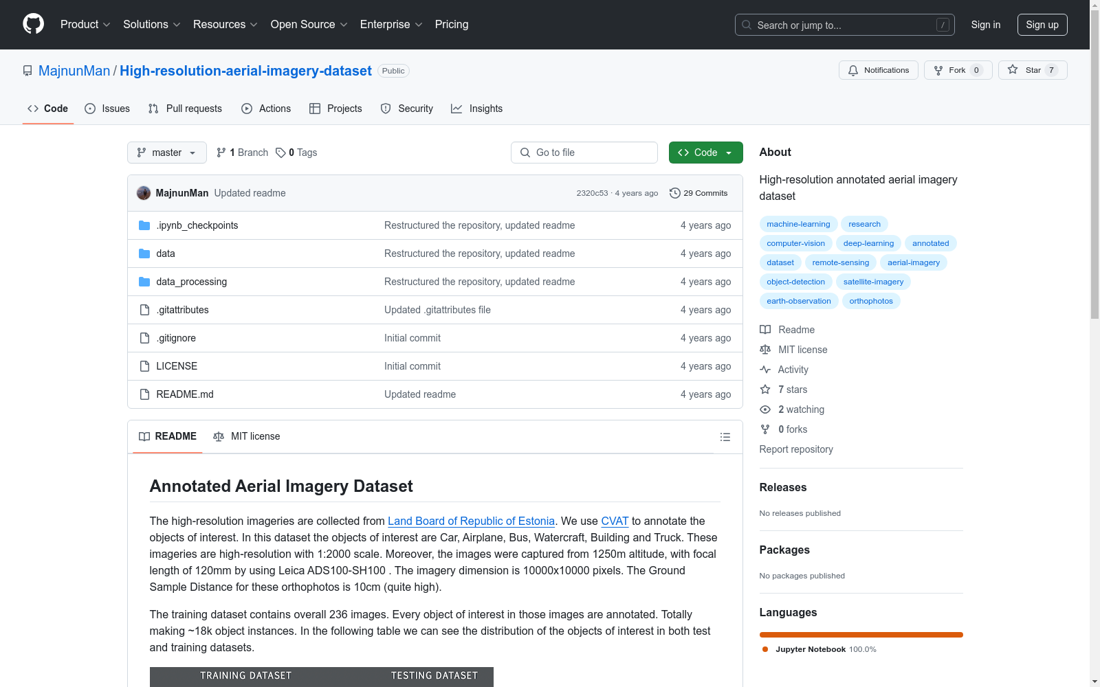
该数据集包含从爱沙尼亚土地委员会收集的高分辨率航空影像,使用CVAT工具对汽车、飞机、公交车、船只、建筑物和卡车等感兴趣对象进行标注。影像分辨率为1:2000,尺寸为10000x10000像素,地面采样距离为10cm。训练集包含236张图像,约18,000个对象实例。此外,还有两个测试数据集,通过将原始测试图像分别降采样2倍和4倍,增加了地面采样距离至20cm和40cm。
This dataset comprises high-resolution aerial imagery collected from the Estonian Land Board, with annotations for objects of interest such as cars, airplanes, buses, ships, buildings, and trucks using the CVAT tool. The imagery has a resolution of 1:2000, dimensions of 10000x10000 pixels, and a ground sampling distance (GSD) of 10cm. The training set includes 236 images, encompassing approximately 18,000 object instances. Additionally, there are two test datasets, which were created by downsampling the original test images by factors of 2 and 4, thereby increasing the GSD to 20cm and 40cm, respectively.
Annotated Aerial Imagery Dataset 概述
数据集来源与标注
- 来源:数据集的高分辨率图像来自Land Board of Republic of Estonia。
- 标注工具:使用CVAT进行对象标注。
对象类型
- 对象:数据集关注的对象包括Car, Airplane, Bus, Watercraft, Building, 和 Truck。
图像特性
- 分辨率与比例:图像具有1:2000的比例,分辨率为10000x10000像素。
- 拍摄参数:图像在1250米高度,使用120mm焦距的Leica ADS100-SH100设备拍摄。
- 地面采样距离(GSD):10cm。
数据集构成
- 训练集:包含236张图像,共约18k个对象实例。
- 测试集:除了主要测试集外,还有两个额外测试集,分别通过2倍和4倍下采样原始图像,使得GSD分别增加到20cm和40cm。
数据处理
- 下采样工具:提供了一个脚本用于进一步下采样图像,位于data_processing。
引用信息
-
引用格式:
@misc{wu2019detectron2, author = {Majnun Abdurahmanov}, title = {High-resolution aerial imagery dataset}, howpublished = {url{https://github.com/MajnunMan/High-resolution-aerial-imagery-dataset}}, year = {2020} }