塔里木河流域行政边界数据集(2000)
收藏国家青藏高原科学数据中心2020-07-20 更新2024-03-01 收录
下载链接:
https://data.tpdc.ac.cn/zh-hans/data/0404bef8-04b8-4a9e-8488-075870b7cba1
下载链接
链接失效反馈官方服务:
资源简介:
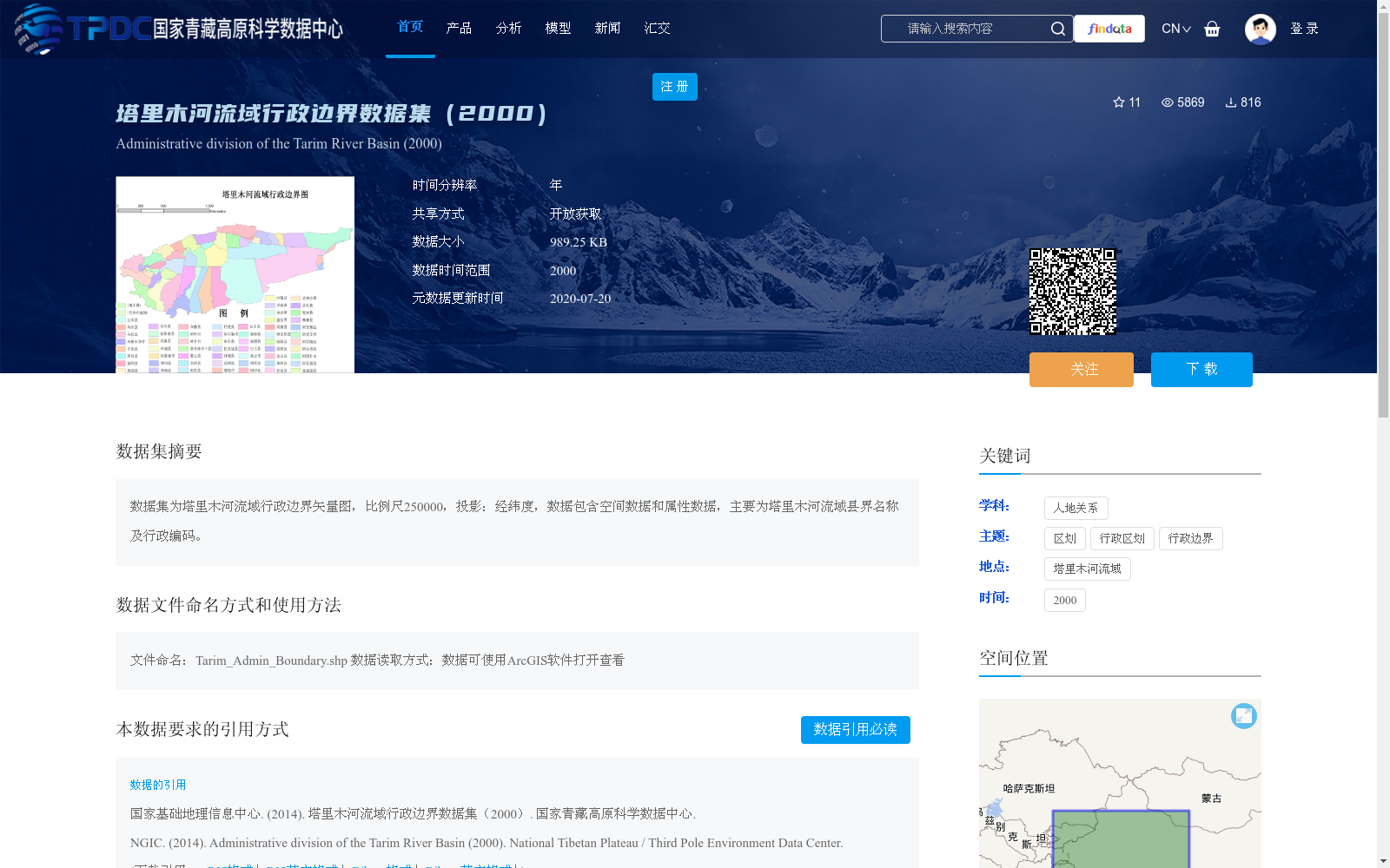
数据集为塔里木河流域行政边界矢量图,比例尺250000,投影:经纬度,数据包含空间数据和属性数据,主要为塔里木河流域县界名称及行政编码。
The dataset is a vector map of administrative boundaries within the Tarim River Basin, with a scale of 1:250000 and a latitude-longitude geographic projection. It includes both spatial data and attribute data, primarily recording the county boundary names and administrative codes within the Tarim River Basin.
提供机构:
国家基础地理信息中心
创建时间:
2014-08-07
搜集汇总
数据集介绍
背景与挑战
背景概述
该数据集为2000年塔里木河流域的行政边界矢量图,比例尺为250000,投影为经纬度,包含空间数据和属性数据,主要记录县界名称及行政编码。数据文件为Tarim_Admin_Boundary.shp,可使用ArcGIS软件打开查看。
以上内容由遇见数据集搜集并总结生成


