全球150m城市建筑高度数据集(2020年)
收藏国家地球系统科学数据中心2025-08-01 更新2024-12-21 收录
下载链接:
https://www.geodata.cn/data/datadetails.html?dataguid=276612585914685&docId=977
下载链接
链接失效反馈官方服务:
资源简介:
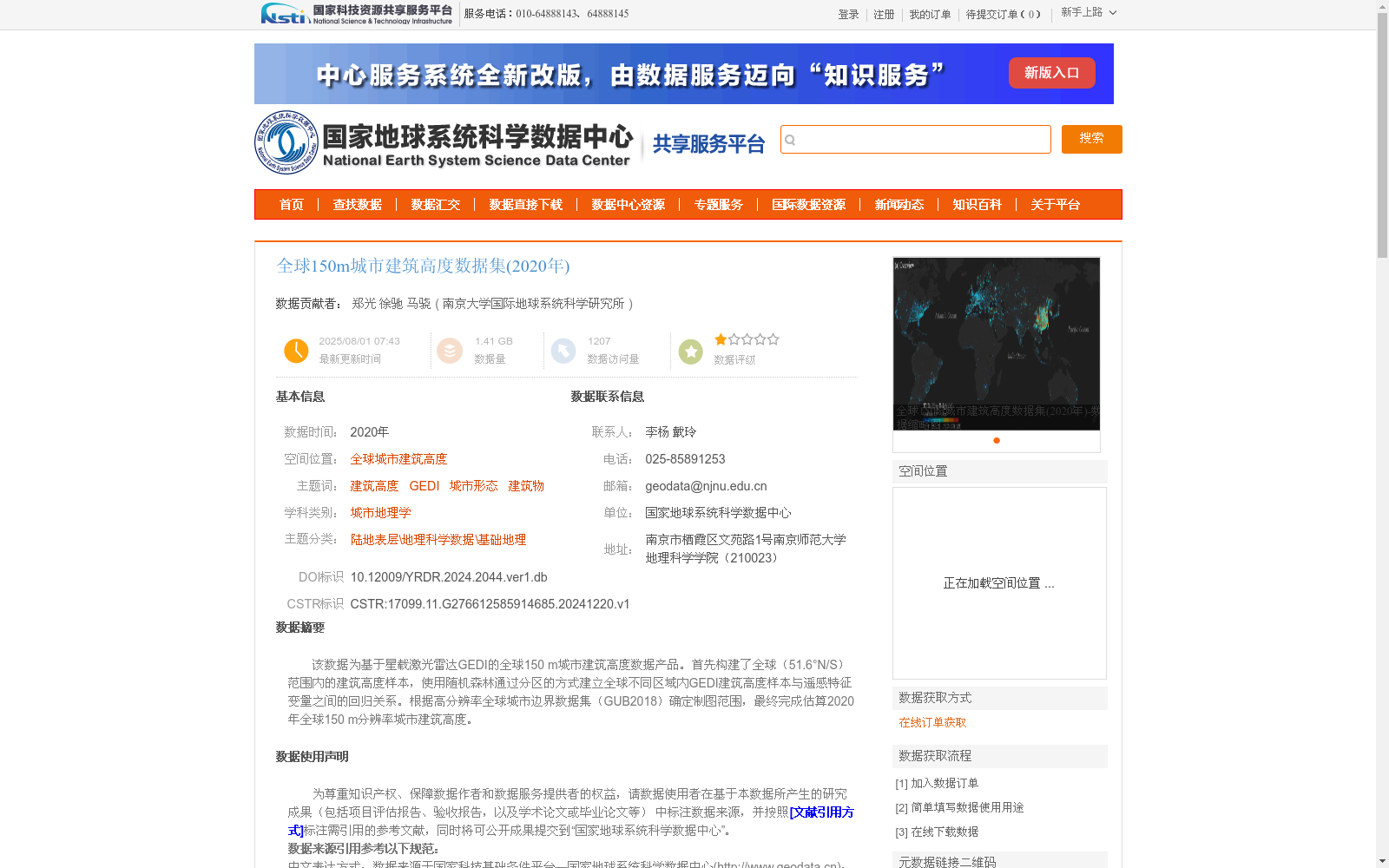
该数据为基于星载激光雷达GEDI的全球150 m城市建筑高度数据产品。首先构建了全球(51.6°N/S)范围内的建筑高度样本,使用随机森林通过分区的方式建立全球不同区域内GEDI建筑高度样本与遥感特征变量之间的回归关系。根据高分辨率全球城市边界数据集(GUB2018)确定制图范围,最终完成估算2020年全球150 m分辨率城市建筑高度。
This dataset is a global 150 m urban building height product based on the space-borne LiDAR GEDI. First, building height samples were constructed globally within the range of 51.6°N/S. A random forest algorithm was used to establish regression relationships between GEDI building height samples and remote sensing feature variables across different global regions via zonal partitioning. Subsequently, the mapping scope was determined using the high-resolution global urban boundary dataset (GUB2018). Finally, the global 150 m resolution urban building height product for the year 2020 was fully estimated and finalized.
提供机构:
南京大学国际地球系统科学研究所
创建时间:
2024-12-20
搜集汇总
数据集介绍
背景与挑战
背景概述
该数据集是基于星载激光雷达GEDI的2020年全球城市建筑高度产品,分辨率为150米,覆盖51.6°N/S范围内的城市区域。它利用随机森林算法结合多源遥感数据(如Landsat-8、Sentinel-2等)估算建筑高度,并通过验证显示较高精度(Pearson's r = 0.71,RMSE = 4.73 m),为城市形态和地理学研究提供了可靠数据支持。
以上内容由遇见数据集搜集并总结生成


