A Dataset of CO2 and particulate matter (PM) concentration with a 30-meter resolution on urban expressways in Guangzhou City
收藏资源简介:
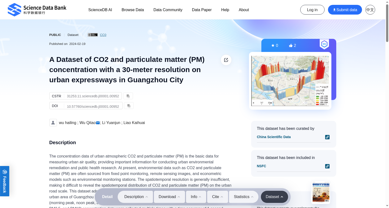
The concentration data of urban atmospheric CO2 and particulate matter (PM) is the basic data for measuring urban air quality, providing important information for conducting urban environmental remediation and public health research. At present, environmental data such as CO2 and particulate matter (PM) are often sourced from fixed point monitoring, remote sensing images, and econometric models such as environmental monitoring stations. The spatiotemporal resolution is generally insufficient, making it difficult to reveal the spatiotemporal distribution of CO2 and particulate matter (PM) on the urban road scale. This dataset adopts a walking monitoring method, taking the Inner Ring Road in the central urban area of Guangzhou as the research area. Three typical periods of work from April to June 2023 (morning peak, noon peak, and evening peak) were selected, and CO2 and particulate matter (PM1.0, PM2.5, and PM10) concentration data were collected multiple times with a time accuracy of 1 second. The dataset was compiled into a high spatiotemporal resolution dataset for CO2 and particulate matter (PM) concentration on urban roads, This dataset reveals the refined distribution pattern of greenhouse gases and atmospheric pollutants on the urban road scale, which has practical significance for achieving refined road spatial governance and improving the quality of urban living environment.
城市大气二氧化碳(CO₂)与颗粒物(PM)浓度数据是衡量城市空气质量的基础资料,可为开展城市环境修复与公共卫生研究提供关键信息。目前,二氧化碳与颗粒物(PM)相关环境数据多通过定点监测(如环境监测站)、遥感影像及计量经济学模型获取,此类数据的时空分辨率普遍不足,难以揭示城市道路尺度下二氧化碳与颗粒物的时空分布规律。本数据集采用步行监测方法,以广州市中心城区内环快速路为研究区域,选取2023年4月至6月的三个工作日典型时段(早高峰、午高峰及晚高峰),以1秒的时间精度多次采集二氧化碳及颗粒物(PM1.0、PM2.5、PM10)浓度数据。本数据集最终构建为城市道路尺度下二氧化碳与颗粒物浓度的高时空分辨率数据集,其揭示了城市道路尺度下温室气体与大气污染物的精细化分布格局,对于实现道路空间精细化治理、改善城市人居环境质量具有重要现实意义。