中缅边境口岸县土地利用数据(1985-2020)
收藏国家青藏高原科学数据中心2025-02-21 更新2025-02-22 收录
下载链接:
https://data.tpdc.ac.cn/zh-hans/data/17b77d54-a320-4cb1-a3dc-ed9546074b44
下载链接
链接失效反馈官方服务:
资源简介:
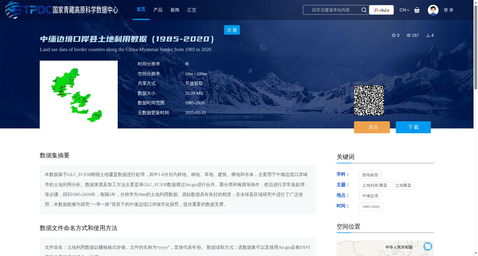
本数据基于GLC_FCS30精细土地覆盖数据进行处理,其中1-6分别为耕地、林地、草地、建筑、裸地和水体,主要用于中缅边境口岸城市的土地利用分析。数据来源及加工方法主要是将GLC_FCS30数据通过Arcgis进行合并、重分类和掩膜等操作,然后进行异常值处理,等步骤,得到1985-2020年,每隔5年,分辨率为30m的土地利用数据。原始数据具有良好的精度,在全球及区域研究中进行了广泛使用,本数据能够为探究“一带一路”背景下的中缅边境口岸城市化探究,提供重要的数据支撑。
This dataset is processed based on the GLC_FCS30 fine land cover data, where classes 1 to 6 correspond to cultivated land, forest land, grassland, built-up land, bare land and water bodies respectively. It is primarily designed for land use analysis of port cities along the China-Myanmar border. The data processing workflow mainly involves merging, reclassifying and masking the GLC_FCS30 data via ArcGIS, followed by outlier processing and other steps, to produce land use data with a 30-meter resolution at 5-year intervals from 1985 to 2020. The original GLC_FCS30 data boasts high accuracy and has been widely utilized in global and regional studies. This dataset can provide critical data support for research on urbanization of port cities along the China-Myanmar border under the Belt and Road Initiative.
提供机构:
杨鑫,焦建鑫,龙瑞军
创建时间:
2025-01-09
搜集汇总
数据集介绍
背景与挑战
背景概述
该数据集提供了中缅边境口岸县1985年至2020年的土地利用数据,基于GLC_FCS30精细土地覆盖数据处理,包含耕地、林地、草地、建筑、裸地和水体六类,空间分辨率为30米,每隔5年更新一次。数据主要用于支持'一带一路'背景下的中缅边境口岸城市化研究,具有开放获取特性,便于使用Arcgis或ENVI等软件进行分析。
以上内容由遇见数据集搜集并总结生成


