全球野火多发区域火灾风险数据集(2000-2018年)
收藏国家地球系统科学数据中心2019-09-05 更新2024-04-21 收录
下载链接:
https://www.geodata.cn/data/datadetails.html?dataguid=78532624600730&docId=17032
下载链接
链接失效反馈官方服务:
资源简介:
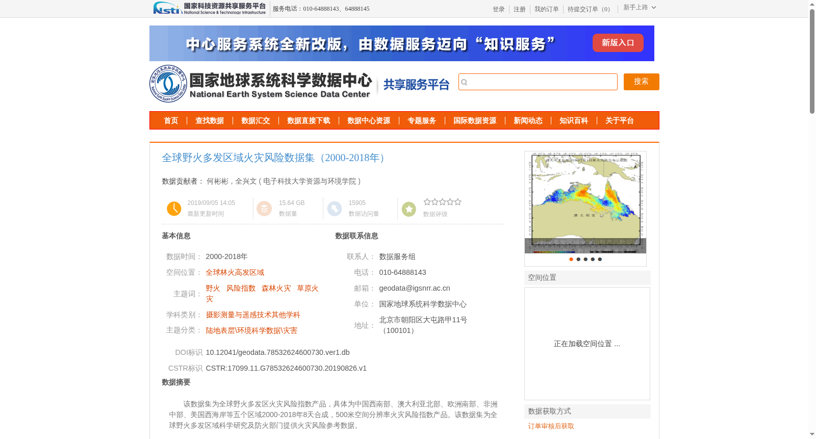
该数据集为全球野火多发区火灾风险指数产品,具体为中国西南部、澳大利亚北部、欧洲南部、非洲中部、美国西海岸等五个区域2000-2018年8天合成,500米空间分辨率火灾风险指数产品。该数据集为全球野火多发区域科学研究及防火部门提供火灾风险参考数据。
This dataset is a fire risk index product for global wildfire-prone regions. Specifically, it is an 8-day composite fire risk index product with a spatial resolution of 500 meters, covering five regions including southwest China, northern Australia, southern Europe, central Africa, and the U.S. West Coast from 2000 to 2018. This dataset provides fire risk reference data for scientific research and fire prevention departments in global wildfire-prone regions.
提供机构:
电子科技大学资源与环境学院
创建时间:
2019-08-26
搜集汇总
数据集介绍
背景与挑战
背景概述
该数据集是全球野火多发区域(包括中国西南部、澳大利亚北部、欧洲南部、非洲中部、美国西海岸)2000-2018年的火灾风险指数产品,时间分辨率为8天,空间分辨率为500米。它基于多源遥感及气象数据,通过火险指数(FDI)算法结合野火风险三角模型和深度学习生成,对火灾风险进行定量化表征(取值0~1),AUC达0.7以上,为火灾风险研究和防火提供科学参考。
以上内容由遇见数据集搜集并总结生成


