2015-2019年一带一路地球大数据生态环境专题数据集
收藏地球大数据科学工程2024-03-04 收录
下载链接:
https://data.casearth.cn/sdo/detail/653c8f19819aec42f0164e60
下载链接
链接失效反馈官方服务:
资源简介:
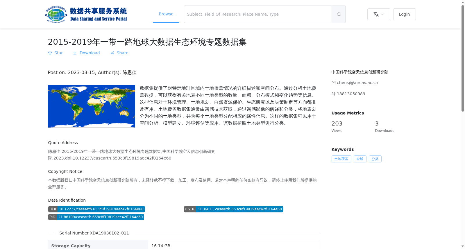
数据集提供了对特定地理区域内土地覆盖情况的详细描述和空间分布。通过分析土地覆盖数据,可以获得有关地表不同土地类型的数量、面积、分布模式和变化趋势等信息。这些信息对于环境管理、土地规划、自然资源保护、生态研究以及决策制定等方面都非常有用。土地覆盖数据集通常由遥感技术获取,通过遥感影像的解译和分类,将地表划分为不同的土地类型,并为每个土地类型分配相应的属性信息。这样的数据集可以用于空间分析、模型建立、环境评估等应用。该数据按照土地类型进行分类。
This dataset provides detailed descriptions and spatial distribution information of land cover within a specific geographic region. By analyzing land cover data, relevant information including the quantity, area, distribution patterns and temporal change trends of different surface land types can be obtained. This information is of great value for environmental management, land planning, natural resource conservation, ecological research, decision-making and other related fields. Land cover datasets are typically acquired through remote sensing technology: via the interpretation and classification of remote sensing images, the Earth's surface is divided into distinct land types, with corresponding attribute information assigned to each type. Such datasets can be applied in spatial analysis, model construction, environmental assessment and other applications. This dataset is classified based on land types.
提供机构:
中国科学院空天信息创新研究院
搜集汇总
数据集介绍
背景与挑战
背景概述
该数据集是2015-2019年一带一路地区的全球土地覆盖专题数据,基于遥感技术提供300米空间分辨率的年度栅格数据,涵盖多种土地类型分类,适用于生态环境研究、资源管理和政策制定等应用。数据以tif和Netcdf格式存储,总容量16.14 GB,包含15个文件,具有较高的科学和实用价值。
以上内容由遇见数据集搜集并总结生成


