华夏故土运河时空分布数据
收藏地球大数据科学工程2024-05-01 收录
下载链接:
https://data.casearth.cn/sdo/detail/6538b2fb819aec0f262245ea
下载链接
链接失效反馈官方服务:
资源简介:
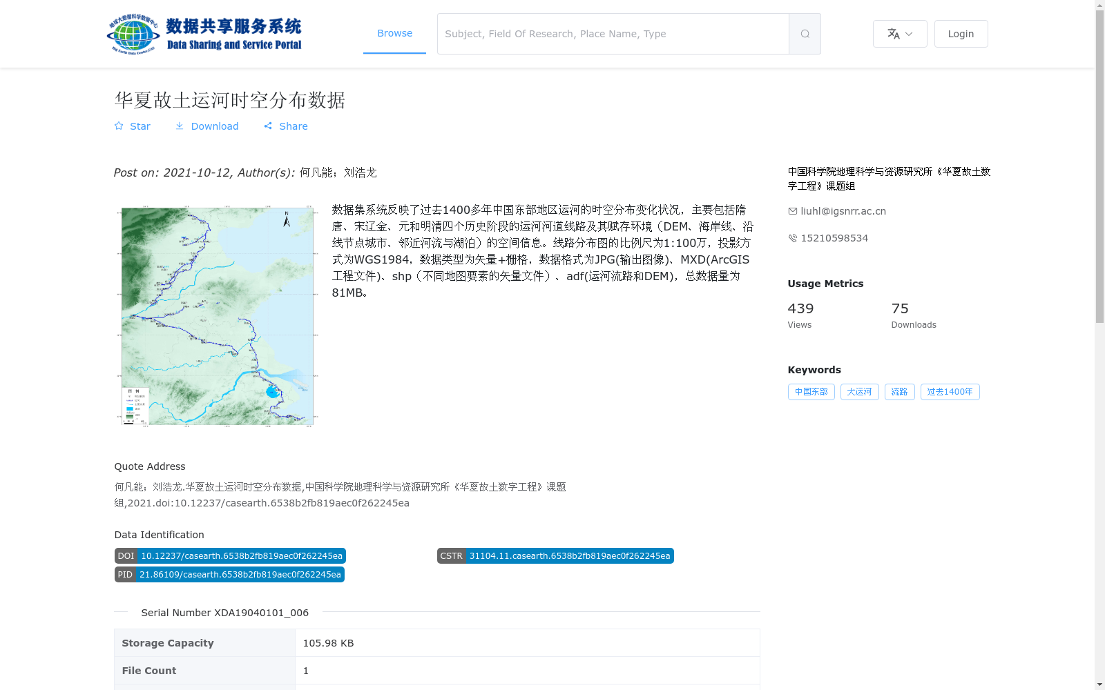
数据集系统反映了过去1400多年中国东部地区运河的时空分布变化状况,主要包括隋唐、宋辽金、元和明清四个历史阶段的运河河道线路及其赋存环境(DEM、海岸线、沿线节点城市、邻近河流与湖泊)的空间信息。线路分布图的比例尺为1:100万,投影方式为WGS1984,数据类型为矢量+栅格,数据格式为JPG(输出图像)、MXD(ArcGIS工程文件)、shp(不同地图要素的矢量文件)、adf(运河流路和DEM),总数据量为81MB。
This dataset system records the spatio-temporal distribution and evolutionary changes of canals in eastern China over the past 1,400 years. It primarily contains spatial information of canal routes and their associated environmental conditions across four historical periods: Sui-Tang, Song-Liao-Jin, Yuan, and Ming-Qing dynasties, including DEM, coastline, key nodal cities along the canals, adjacent rivers and lakes. The route distribution map has a scale of 1:1,000,000 and adopts the WGS1984 projection. The data types are vector and raster, with supported formats including JPG (output image), MXD (ArcGIS project file), shp (vector files for different map features), and adf (canal route and DEM data). The total data volume is 81 MB.
提供机构:
中国科学院地理科学与资源研究所《华夏故土数字工程》课题组
搜集汇总
数据集介绍
背景与挑战
背景概述
该数据集系统展示了中国东部地区过去1400多年运河的时空分布变化,涵盖隋唐至明清四个历史阶段,提供运河线路及赋存环境的矢量与栅格空间信息,适用于历史地理和文化遗产研究。
以上内容由遇见数据集搜集并总结生成


