
UCLA UAV Imaging
收藏Mendeley Data2024-06-13 更新2024-06-27 收录
下载链接:
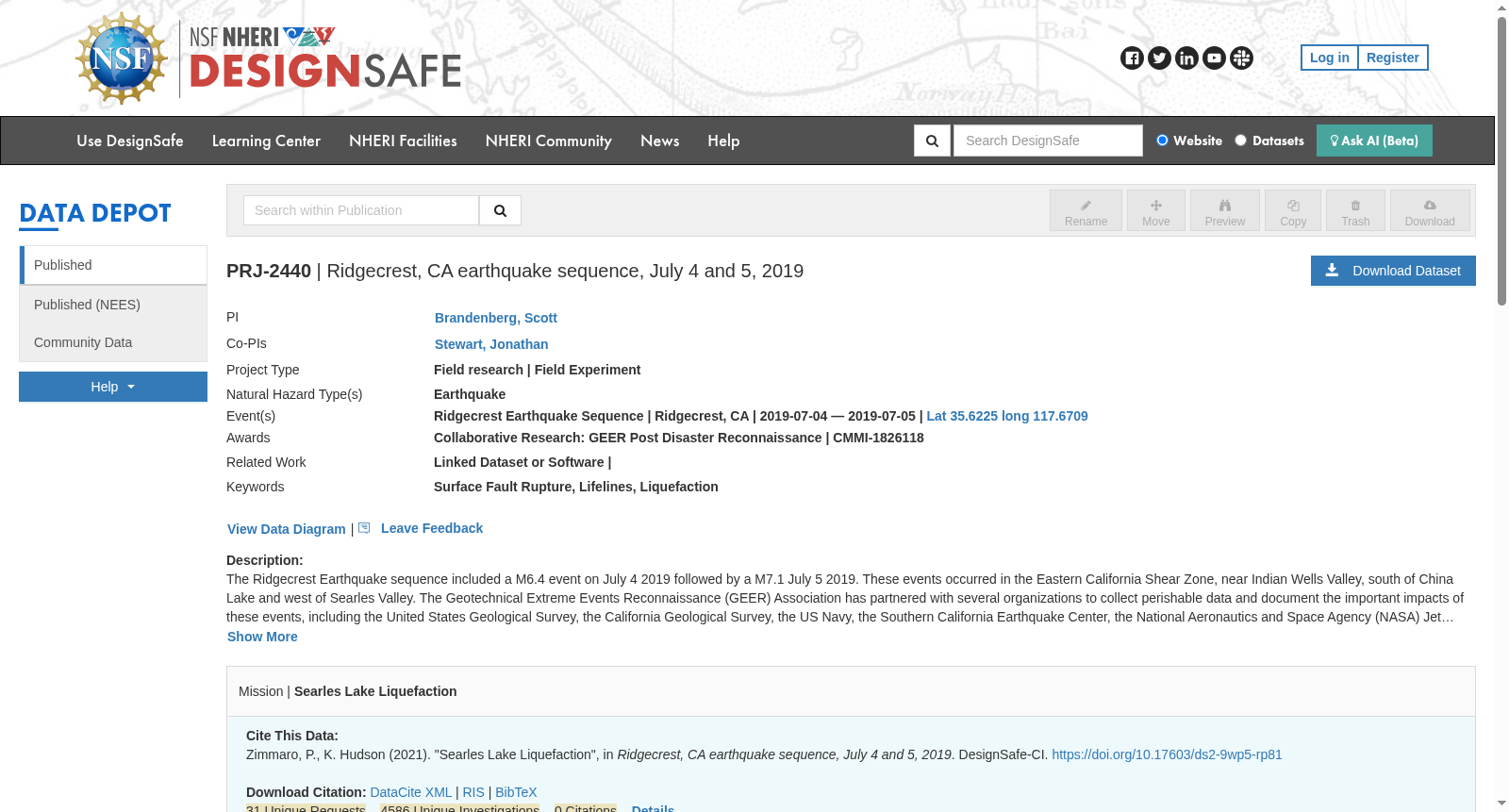
https://www.designsafe-ci.org/data/browser/public/designsafe.storage.published/PRJ-2440/#details-2280461054581796375-242ac11a-0001-012
下载链接
链接失效反馈官方服务:
资源简介:
UAV's were deployed to gather images of the surface fault rupture for the M7.1 earthquake south of Highway 178, and to gather images of Trona and Argus where liquefaction and lateral spreading features were observed. Structure from Motion (SfM) was utilized to create point clouds, and digital surface models were fit to the point cloud data. The point clouds, ortho mosaics, and digital surface models are the work products made available here.
为采集178号公路以南M7.1级地震的地表断层破裂影像,以及采集观测到液化与侧向扩展特征的特罗纳(Trona)和阿格斯(Argus)区域的影像,研究团队部署了无人机(Unmanned Aerial Vehicle, UAV)。研究采用运动恢复结构(Structure from Motion, SfM)算法生成点云,并基于点云数据拟合得到数字表面模型。本数据集公开的成果包含点云、正射影像镶嵌图以及数字表面模型。
创建时间:
2023-06-28
搜集汇总
数据集介绍
背景与挑战
背景概述
该数据集是加州大学洛杉矶分校(UCLA)在2019年里奇克莱斯特地震序列后,使用无人机对M7.1地震地表断层破裂以及Trona和Argus地区的液化与侧向扩展现象进行航拍成像的成果。数据集通过运动恢复结构技术生成了点云、正射镶嵌图和数字表面模型,用于记录和分析地震引发的关键地质工程特征。
以上内容由遇见数据集搜集并总结生成


