
Multi-resolution Valley Bottom Flatness (MrVBF, 3" resolution)
收藏Mendeley Data2024-03-27 更新2024-06-27 收录
下载链接:
https://data.csiro.au/collections/#collection/CIcsiro:5681v1
下载链接
链接失效反馈官方服务:
资源简介:
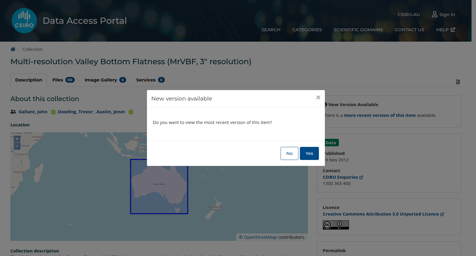
The Multi-resolution Valley Bottom Flatness (MrVBF) dataset is a topographic index designed to identify areas of deposited material at a range of scales based on the observations that valley bottoms are low and flat relative to their surroundings and that large valley bottoms are flatter than smaller ones. Zero values indicate erosional terrain with values 1 and larger indicating progressively larger areas of deposition. There is some evidence that MrVBF values correlate with depth of deposited material. The 3 second resolution product was generated from the 1 second MrVBF product and masked by the 3” water and ocean mask datasets. This 3” resolution version of the aspect product has been masked by the 3” water and ocean mask datasets.
多分辨率河谷底部平坦度(Multi-resolution Valley Bottom Flatness, MrVBF)数据集是一类地形指数,旨在基于两项观测结论在多尺度范围内识别沉积物质分布区域:其一,河谷底部相较于周边区域地势低平;其二,大型河谷底部较小型河谷底部更为平坦。该指数的零值代表侵蚀性地形,数值1及以上则对应沉积区域面积逐步扩大的地形。已有部分研究证据表明,MrVBF数值与沉积物质厚度存在相关性。该3秒分辨率数据集由1秒分辨率MrVBF数据集生成,并经3弧秒水体与海洋掩膜数据集完成掩膜处理。此3弧秒分辨率的坡向数据集已通过3弧秒水体与海洋掩膜数据集完成掩膜处理。
创建时间:
2023-06-28
搜集汇总
数据集介绍
背景与挑战
背景概述
Multi-resolution Valley Bottom Flatness (MrVBF, 3" resolution) 数据集是一个多分辨率地形指数,旨在识别不同尺度下的沉积区域。该数据集基于地形坡度和位置进行计算,适用于澳大利亚地区,并提供公开访问权限。
以上内容由遇见数据集搜集并总结生成



