青藏高原山地冰川流速数据集(2019-2020)
收藏资源简介:
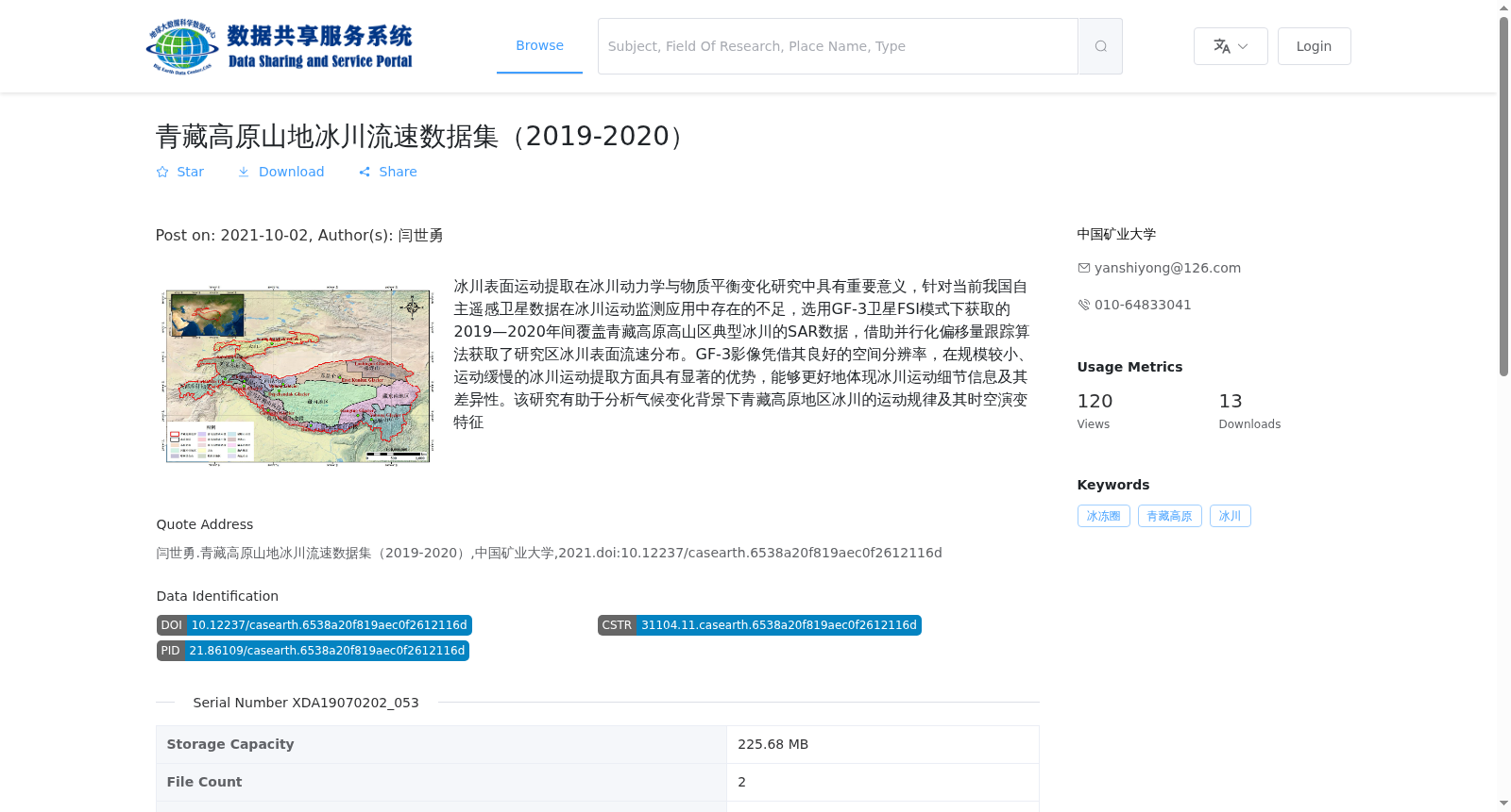
冰川表面运动提取在冰川动力学与物质平衡变化研究中具有重要意义,针对当前我国自主遥感卫星数据在冰川运动监测应用中存在的不足,选用GF-3卫星FSI模式下获取的2019—2020年间覆盖青藏高原高山区典型冰川的SAR数据,借助并行化偏移量跟踪算法获取了研究区冰川表面流速分布。GF-3影像凭借其良好的空间分辨率,在规模较小、运动缓慢的冰川运动提取方面具有显著的优势,能够更好地体现冰川运动细节信息及其差异性。该研究有助于分析气候变化背景下青藏高原地区冰川的运动规律及其时空演变特征
Extraction of glacier surface motion holds great significance for studies on glacier dynamics and mass balance changes. To address the limitations of China's domestically developed remote sensing satellite data in glacier motion monitoring applications, we selected SAR data covering typical glaciers in the high mountainous areas of the Qinghai-Tibet Plateau, acquired by the GF-3 satellite in FSI mode between 2019 and 2020. Using the parallelized offset tracking algorithm, we obtained the glacier surface velocity distribution in the study area. With excellent spatial resolution, GF-3 images have prominent advantages in extracting motion information for small-scale, slow-moving glaciers, and can better reflect the detailed characteristics and differences of glacier motion. This study facilitates the analysis of glacier motion patterns and their spatiotemporal evolution characteristics in the Qinghai-Tibet Plateau under the context of climate change.